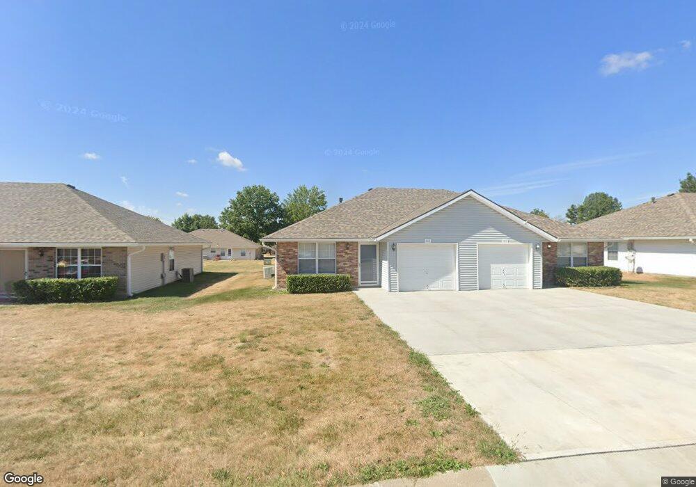
212 Amanda Ln Grain Valley, MO 64029
Estimated Value: $225,000 - $297,000
4
Beds
2
Baths
1,992
Sq Ft
$137/Sq Ft
Est. Value
About This Home
This home is located at 212 Amanda Ln, Grain Valley, MO 64029 and is currently estimated at $272,669, approximately $136 per square foot. 212 Amanda Ln is a home located in Jackson County with nearby schools including Grain Valley High School.
Ownership History
Date
Name
Owned For
Owner Type
Purchase Details
Closed on
Feb 27, 2025
Sold by
House & Renner Properties Inc
Bought by
Lark Rental Properties Llc
Current Estimated Value
Purchase Details
Closed on
May 11, 2006
Sold by
Herndon Billee Rigg
Bought by
House & Renner Properties Inc
Home Financials for this Owner
Home Financials are based on the most recent Mortgage that was taken out on this home.
Original Mortgage
$120,000
Interest Rate
6.36%
Mortgage Type
Seller Take Back
Purchase Details
Closed on
Aug 7, 1996
Sold by
Herndon Thomas Bruce
Bought by
Herndon Thomas Bruce and The Thomas Bruce Herndon Revocable Trust
Create a Home Valuation Report for This Property
The Home Valuation Report is an in-depth analysis detailing your home's value as well as a comparison with similar homes in the area
Home Values in the Area
Average Home Value in this Area
Purchase History
| Date | Buyer | Sale Price | Title Company |
|---|---|---|---|
| Lark Rental Properties Llc | -- | None Listed On Document | |
| House & Renner Properties Inc | $120,000 | Stewart Title Of Kansas City | |
| Herndon Thomas Bruce | -- | -- |
Source: Public Records
Mortgage History
| Date | Status | Borrower | Loan Amount |
|---|---|---|---|
| Previous Owner | House & Renner Properties Inc | $120,000 |
Source: Public Records
Tax History
| Year | Tax Paid | Tax Assessment Tax Assessment Total Assessment is a certain percentage of the fair market value that is determined by local assessors to be the total taxable value of land and additions on the property. | Land | Improvement |
|---|---|---|---|---|
| 2025 | $3,834 | $34,926 | $6,483 | $28,443 |
| 2024 | $3,834 | $46,550 | $4,138 | $42,412 |
| 2023 | $3,691 | $46,550 | $4,138 | $42,412 |
| 2022 | $2,394 | $26,410 | $3,297 | $23,113 |
| 2021 | $2,338 | $26,410 | $3,297 | $23,113 |
| 2020 | $2,251 | $25,081 | $3,297 | $21,784 |
| 2019 | $2,403 | $27,326 | $3,297 | $24,029 |
| 2018 | $2,230 | $23,698 | $3,004 | $20,694 |
| 2017 | $2,230 | $23,698 | $3,004 | $20,694 |
| 2016 | $2,173 | $23,104 | $3,078 | $20,026 |
| 2014 | $1,945 | $20,520 | $3,258 | $17,262 |
Source: Public Records
Map
Nearby Homes
- 107 Rock Creek Dr
- 215 Pebblebrook Ln
- 211 SW Cross Creek Dr
- 817 Stone Brook Dr
- 602 W Walnut St
- 322 Front St
- 1007 SW Blue Branch Dr
- 605 NW Silverstone Cir
- 200 Gregg St
- 702 NW Eagle Dr
- 211 Gregg St
- 929 NW Scenic Dr
- 1014 SW Sandy Ln
- 805 NW Thieme St
- 1218 NW Ashley Dr
- 202 NW Yennie St
- 518 SW Valley Dr
- 448 SW Laura Ln
- 647 SW Crestview Dr
- 600 SW Valley Dr
- 208 Amanda Ln
- 216 Amanda Ln
- 213 Aaron Ln
- 209 Aaron Ln
- 204 Amanda Ln
- 213 Amanda Ln
- 217 Aaron Ln
- 205 Aaron Ln
- 209 Amanda Ln
- 217 Amanda Ln
- 219 Aaron Ln
- 205 Amanda Ln
- 200 Amanda Ln
- 201 Aaron Ln
- 716 NW Willow Dr
- 720 NW Willow Dr
- 910 NW Crestwood Dr
- 1007 NW Crestwood Dr
- 906 NW Crestwood Dr
- 1000 NW Crestwood Dr
Your Personal Tour Guide
Ask me questions while you tour the home.