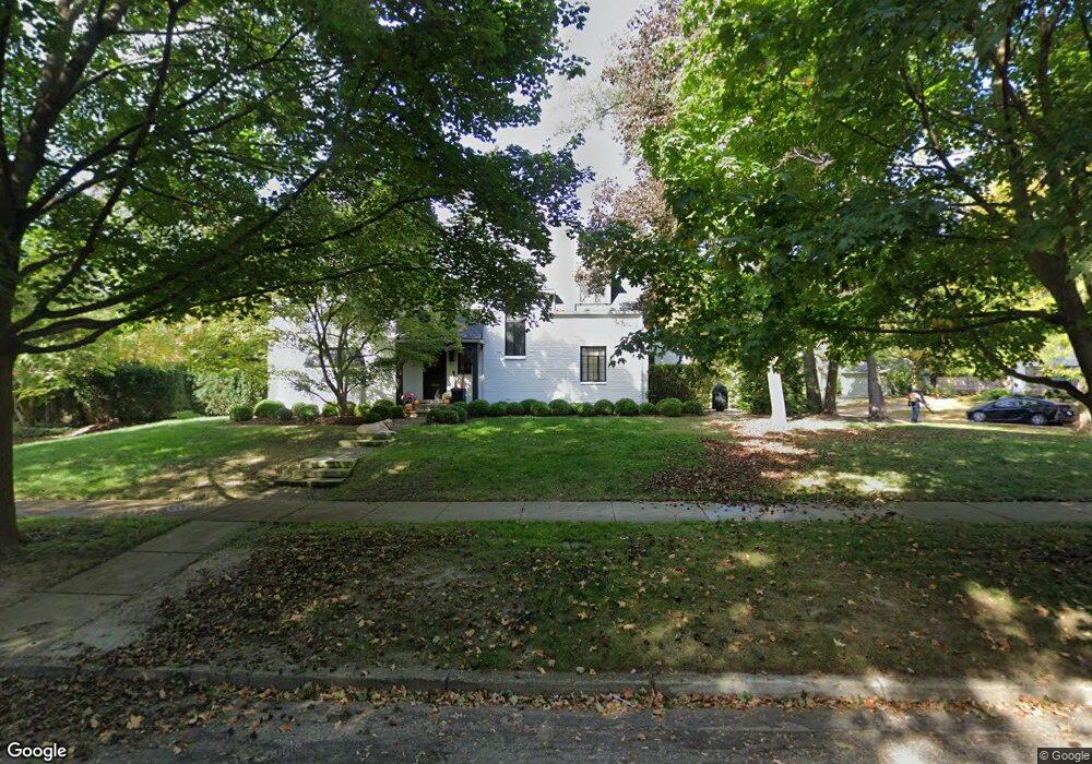
212 Argyle St Unit Bldg-Unit Birmingham, MI 48009
Estimated Value: $1,052,000 - $1,219,000
3
Beds
4
Baths
2,602
Sq Ft
$445/Sq Ft
Est. Value
About This Home
This home is located at 212 Argyle St Unit Bldg-Unit, Birmingham, MI 48009 and is currently estimated at $1,157,286, approximately $444 per square foot. 212 Argyle St Unit Bldg-Unit is a home located in Oakland County with nearby schools including Pierce Elementary School, Derby Middle School, and Ernest W. Seaholm High School.
Ownership History
Date
Name
Owned For
Owner Type
Purchase Details
Closed on
Jul 19, 2018
Sold by
Tech Paula J and Paula J Leonard Trust
Bought by
Lope Michael J and Lope Christine M
Current Estimated Value
Purchase Details
Closed on
Nov 22, 2013
Sold by
Leonard Paula J and Leonard John H
Bought by
Leonard Paula J and Paula J Leonard Trust
Create a Home Valuation Report for This Property
The Home Valuation Report is an in-depth analysis detailing your home's value as well as a comparison with similar homes in the area
Home Values in the Area
Average Home Value in this Area
Purchase History
| Date | Buyer | Sale Price | Title Company |
|---|---|---|---|
| Lope Michael J | $616,500 | None Available | |
| Leonard Paula J | -- | None Available |
Source: Public Records
Tax History
| Year | Tax Paid | Tax Assessment Tax Assessment Total Assessment is a certain percentage of the fair market value that is determined by local assessors to be the total taxable value of land and additions on the property. | Land | Improvement |
|---|---|---|---|---|
| 2025 | $16,898 | $501,780 | $0 | $0 |
| 2024 | $15,206 | $487,360 | $0 | $0 |
| 2023 | $14,512 | $455,540 | $0 | $0 |
| 2022 | $17,493 | $429,930 | $0 | $0 |
| 2021 | $17,053 | $417,790 | $0 | $0 |
| 2020 | $13,523 | $411,460 | $0 | $0 |
| 2019 | $16,754 | $317,850 | $0 | $0 |
| 2018 | $10,105 | $312,350 | $0 | $0 |
| 2017 | $10,088 | $310,220 | $0 | $0 |
| 2016 | $10,106 | $303,830 | $0 | $0 |
| 2015 | -- | $283,920 | $0 | $0 |
| 2014 | -- | $259,740 | $0 | $0 |
| 2011 | -- | $225,140 | $0 | $0 |
Source: Public Records
Map
Nearby Homes
- 394 S Glenhurst Dr
- 169 N Glenhurst Dr
- 488 Bryn Mawr St
- 345 Kimberly St
- 757 Woodlea Ct
- 520 Pleasant St
- 180 Pilgrim Ave
- 186 Hamilton Rd
- 1171 Arden Ln
- 999 Pleasant Ave
- 786 S Cranbrook Rd
- 2802 Heathfield Rd
- 956 Westwood Dr
- 2820 Heathfield Rd
- 2330 Fairway Dr
- 1057 Arlington St
- 1570 Northlawn Blvd
- 633 Hawthorne St
- 100 Overhill Rd
- 1120 Lyonhurst St
Your Personal Tour Guide
Ask me questions while you tour the home.