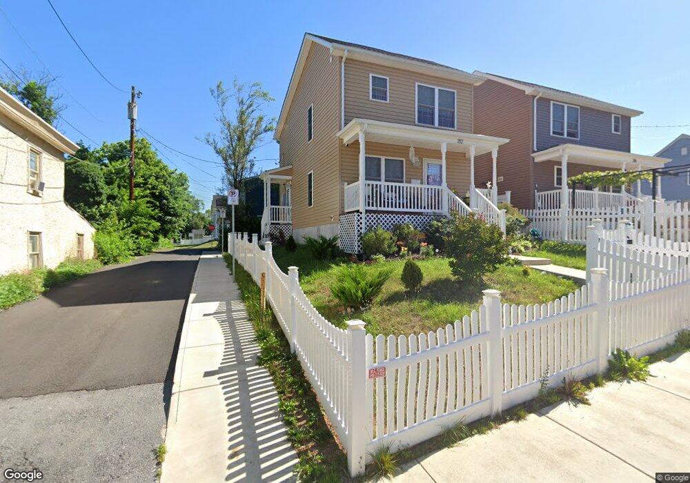
212 Baker St Winchester, VA 22601
Estimated Value: $273,000 - $308,160
3
Beds
2
Baths
1,258
Sq Ft
$225/Sq Ft
Est. Value
About This Home
This home is located at 212 Baker St, Winchester, VA 22601 and is currently estimated at $282,540, approximately $224 per square foot. 212 Baker St is a home located in Winchester City with nearby schools including Virginia Avenue Charlotte Dehart Elementary School, Daniel Morgan Middle School, and John Handley High School.
Ownership History
Date
Name
Owned For
Owner Type
Purchase Details
Closed on
Mar 12, 2014
Sold by
City Light Project 5 Lp
Bought by
Habitat For Humanity Of Winchester Fredr
Current Estimated Value
Home Financials for this Owner
Home Financials are based on the most recent Mortgage that was taken out on this home.
Original Mortgage
$142,583
Outstanding Balance
$108,196
Interest Rate
4.37%
Mortgage Type
Credit Line Revolving
Estimated Equity
$174,344
Create a Home Valuation Report for This Property
The Home Valuation Report is an in-depth analysis detailing your home's value as well as a comparison with similar homes in the area
Home Values in the Area
Average Home Value in this Area
Purchase History
| Date | Buyer | Sale Price | Title Company |
|---|---|---|---|
| Habitat For Humanity Of Winchester Fredr | $83,656 | None Available |
Source: Public Records
Mortgage History
| Date | Status | Borrower | Loan Amount |
|---|---|---|---|
| Open | Habitat For Humanity Of Winchester Fredr | $142,583 |
Source: Public Records
Tax History
| Year | Tax Paid | Tax Assessment Tax Assessment Total Assessment is a certain percentage of the fair market value that is determined by local assessors to be the total taxable value of land and additions on the property. | Land | Improvement |
|---|---|---|---|---|
| 2025 | $2,133 | $268,250 | $18,000 | $250,250 |
| 2024 | $1,921 | $231,500 | $18,000 | $213,500 |
| 2023 | $1,921 | $231,500 | $18,000 | $213,500 |
| 2022 | $1,619 | $174,100 | $18,000 | $156,100 |
| 2021 | $1,619 | $174,100 | $18,000 | $156,100 |
| 2020 | $167 | $18,000 | $18,000 | $0 |
| 2019 | $167 | $18,000 | $18,000 | $0 |
| 2018 | $139 | $15,300 | $15,300 | $0 |
| 2017 | $139 | $15,300 | $15,300 | $0 |
| 2016 | $139 | $15,300 | $15,300 | $0 |
| 2015 | $509 | $55,900 | $15,300 | $40,600 |
| 2014 | $399 | $55,200 | $15,300 | $39,900 |
Source: Public Records
Map
Nearby Homes
- 424 Highland Ave
- 320 E Piccadilly St
- 369 Charles St
- 103 Marlow Ct
- 520 Highland Ave
- 553 Highland Ave
- 45 and 45 1/2 Race St
- 407 van Fossen St
- 411 van Fossen St
- 249 West St
- 200 & 210 W Fairfax Ln
- 1 N Braddock St
- 132 Amherst St
- 0 S Pleasant Valley Rd Unit VAFV2039602
- 501 Battle Ave
- 24 N Pleasant Valley Rd
- 632 Watson Ave
- 204 Shenandoah Ave
- 208 Shenandoah Ave
- 126 N Euclid Ave
Your Personal Tour Guide
Ask me questions while you tour the home.