212 Battlefield Rd Locust Grove, VA 22508
Estimated Value: $407,000 - $427,000
3
Beds
2
Baths
1,716
Sq Ft
$241/Sq Ft
Est. Value
About This Home
This home is located at 212 Battlefield Rd, Locust Grove, VA 22508 and is currently estimated at $413,790, approximately $241 per square foot. 212 Battlefield Rd is a home located in Orange County with nearby schools including Locust Grove Primary School, Locust Grove Elementary School, and Locust Grove Middle School.
Ownership History
Date
Name
Owned For
Owner Type
Purchase Details
Closed on
Dec 8, 2008
Sold by
Mojica Joseph and Mojica Paola A
Bought by
Moss Thomas K and Moss Arlene T
Current Estimated Value
Home Financials for this Owner
Home Financials are based on the most recent Mortgage that was taken out on this home.
Original Mortgage
$168,000
Outstanding Balance
$108,005
Interest Rate
5.75%
Mortgage Type
New Conventional
Estimated Equity
$305,785
Create a Home Valuation Report for This Property
The Home Valuation Report is an in-depth analysis detailing your home's value as well as a comparison with similar homes in the area
Home Values in the Area
Average Home Value in this Area
Purchase History
| Date | Buyer | Sale Price | Title Company |
|---|---|---|---|
| Moss Thomas K | $210,000 | None Available |
Source: Public Records
Mortgage History
| Date | Status | Borrower | Loan Amount |
|---|---|---|---|
| Open | Moss Thomas K | $168,000 |
Source: Public Records
Tax History Compared to Growth
Tax History
| Year | Tax Paid | Tax Assessment Tax Assessment Total Assessment is a certain percentage of the fair market value that is determined by local assessors to be the total taxable value of land and additions on the property. | Land | Improvement |
|---|---|---|---|---|
| 2025 | $1,805 | $237,500 | $30,000 | $207,500 |
| 2024 | $1,805 | $237,500 | $30,000 | $207,500 |
| 2023 | $1,805 | $237,500 | $30,000 | $207,500 |
| 2022 | $1,805 | $237,500 | $30,000 | $207,500 |
| 2021 | $1,732 | $240,600 | $30,000 | $210,600 |
| 2020 | $1,732 | $240,600 | $30,000 | $210,600 |
| 2019 | $1,656 | $206,000 | $30,000 | $176,000 |
| 2018 | $1,656 | $206,000 | $30,000 | $176,000 |
| 2017 | $1,656 | $206,000 | $30,000 | $176,000 |
| 2016 | $1,656 | $206,000 | $30,000 | $176,000 |
| 2015 | $1,380 | $191,600 | $30,000 | $161,600 |
| 2014 | $1,380 | $191,600 | $30,000 | $161,600 |
Source: Public Records
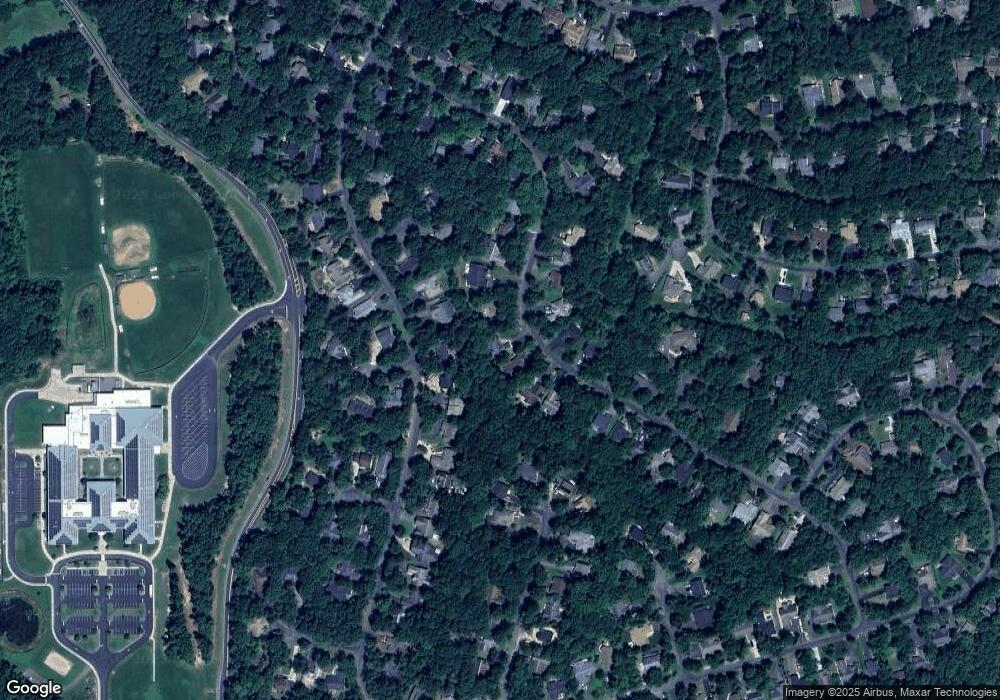
Map
Nearby Homes
- 203 Battlefield Rd
- 111 Butler Cir
- 112 Butler Cir
- 109 Aspen Ct
- 104 Butler Cir
- 537 Monticello Cir
- 108 Confederate Cir
- 2606 Lakeview Pkwy
- 118 Confederate Cir
- 518 Monticello Cir
- 502 Monticello Cir
- 102 Monroe St
- 0 Gold Dale Rd Unit VAOR2012618
- 604 Stratford Cir
- 308 Harrison Cir
- 101 Monticello Cir
- 3112 Lakeview Pkwy
- 135 Monticello Cir
- 405 Harrison Cir
- 323 Stratford Cir
- 210 Battlefield Rd
- 407 Confederate Dr
- 214 Battlefield Rd
- 211 Battlefield Rd
- 208 Battlefield Rd
- 405 Confederate Dr
- 216 Battlefield Rd
- 215 Battlefield Rd
- 209 Battlefield Rd
- 206 Battlefield Rd
- 403 Confederate Dr
- 217 Battlefield Rd
- 501 Confederate Dr
- 218 Battlefield Rd
- 204 Battlefield Rd
- 503 Confederate Dr
- 220 Battlefield Rd
- 207 Battlefield Rd
- 100 Cypress Ct
- 205 Battlefield Rd