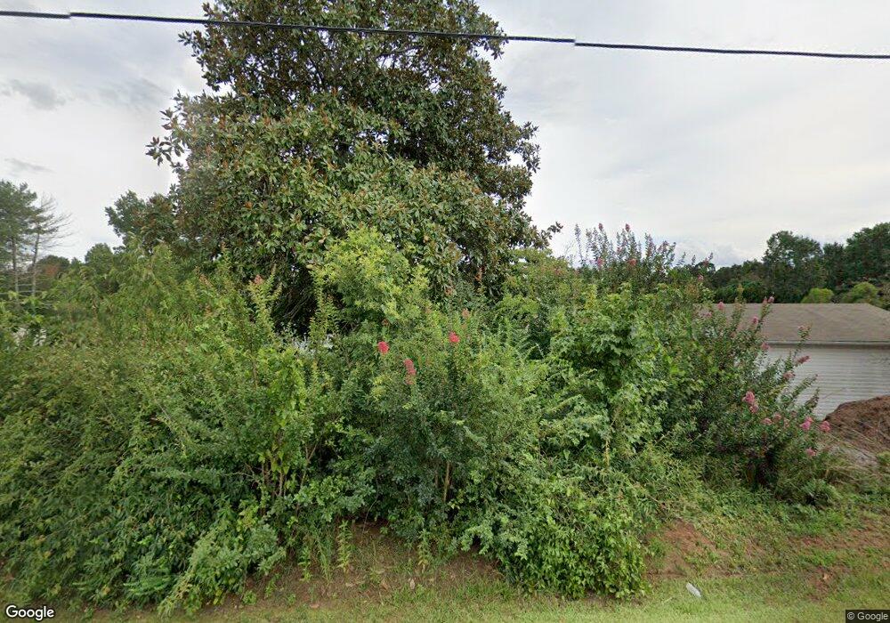
212 Bishop Branch Rd Pendleton, SC 29670
Estimated Value: $235,000 - $371,000
Studio
--
Bath
2,981
Sq Ft
$103/Sq Ft
Est. Value
About This Home
This home is located at 212 Bishop Branch Rd, Pendleton, SC 29670 and is currently estimated at $306,861, approximately $102 per square foot. 212 Bishop Branch Rd is a home with nearby schools including Pendleton High School and Clemson Montessori School.
Ownership History
Date
Name
Owned For
Owner Type
Purchase Details
Closed on
Jun 27, 2008
Sold by
Rader Willie Poovey
Bought by
Boyd Doris T
Current Estimated Value
Create a Home Valuation Report for This Property
The Home Valuation Report is an in-depth analysis detailing your home's value as well as a comparison with similar homes in the area
Home Values in the Area
Average Home Value in this Area
Purchase History
| Date | Buyer | Sale Price | Title Company |
|---|---|---|---|
| Boyd Doris T | $100,500 | -- |
Source: Public Records
Tax History Compared to Growth
Tax History
| Year | Tax Paid | Tax Assessment Tax Assessment Total Assessment is a certain percentage of the fair market value that is determined by local assessors to be the total taxable value of land and additions on the property. | Land | Improvement |
|---|---|---|---|---|
| 2024 | $776 | $7,250 | $900 | $6,350 |
| 2023 | $773 | $7,250 | $900 | $6,350 |
| 2022 | $694 | $7,250 | $900 | $6,350 |
| 2021 | $596 | $6,180 | $460 | $5,720 |
| 2020 | $589 | $6,180 | $460 | $5,720 |
| 2019 | $589 | $6,180 | $460 | $5,720 |
| 2018 | $593 | $6,180 | $460 | $5,720 |
| 2017 | -- | $6,180 | $460 | $5,720 |
| 2016 | $579 | $6,050 | $460 | $5,590 |
| 2015 | $584 | $9,070 | $690 | $8,380 |
| 2014 | $2,934 | $9,070 | $690 | $8,380 |
Source: Public Records
Map
Nearby Homes
- 00 Danenhower Rd
- 908 Chester Cir
- 168 Queens Mill Ct
- 179 Queens Mill Ct
- 156 Queens Mill Ct
- 00 Spake Rd Unit Lot C
- 00 Spake Rd Unit Lot D
- 727 Greenville St Unit 17
- Lot 3 Crenshaw St
- Lot 1 Crenshaw St
- 213 Bostic Ct
- 209 Bostic Ct
- 203 Bostic Ct
- 305 Smith Ln
- 103 Stephens Rd
- 104 Benjamin Blvd
- 105 Stephens Rd
- 530 Porter Rd
- 100 Benjamin Blvd
- 0 Cherry Street Extension
- 210 Bishop Branch Rd
- 218 Bishop Branch Rd
- 128 Louise Dr
- 225 Bishop Branch Rd
- 138 Louise Dr
- 235 Bishops Branch Rd
- 132 Louise Dr
- 235 Bishop Branch Rd
- 300 Bishop Branch Rd
- 144 Louise Dr
- 217 Bishop Branch Rd
- ' Louise Dr
- 202 Bishops Branch Rd
- 202 Bishop Branch Rd
- 202 Bishop Branch Rd
- 304 Bishop Branch Rd
- 133 Louise Dr
- 139 Louise Dr
- 123 Louise Dr
- 143 Louise Dr
