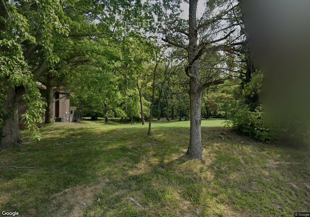
212 Bobbie Dr Swansea, IL 62226
Estimated Value: $170,000 - $192,339
--
Bed
--
Bath
650
Sq Ft
$281/Sq Ft
Est. Value
About This Home
This home is located at 212 Bobbie Dr, Swansea, IL 62226 and is currently estimated at $182,835, approximately $281 per square foot. 212 Bobbie Dr is a home located in St. Clair County with nearby schools including High Mount Elementary School, St Teresa Catholic School, and Elite Scholars STEAM Academy.
Ownership History
Date
Name
Owned For
Owner Type
Purchase Details
Closed on
Dec 31, 2020
Sold by
Department Of Natural Resources
Bought by
Village Of Swansea
Current Estimated Value
Purchase Details
Closed on
May 15, 2020
Sold by
Hawkins Michael W and Hawkins Melinda K
Bought by
Department Of Natural Resources
Purchase Details
Closed on
May 12, 2006
Sold by
Murphy Samuel and Murphy Sarah
Bought by
Hawkins Michael W and Hawkins Melinda K
Home Financials for this Owner
Home Financials are based on the most recent Mortgage that was taken out on this home.
Original Mortgage
$102,320
Interest Rate
7.5%
Mortgage Type
Fannie Mae Freddie Mac
Purchase Details
Closed on
Aug 3, 2001
Sold by
Vanleuven Daniel E and Vanleuven Janet I
Bought by
Murphy Samuel
Home Financials for this Owner
Home Financials are based on the most recent Mortgage that was taken out on this home.
Original Mortgage
$122,802
Interest Rate
7.15%
Mortgage Type
FHA
Create a Home Valuation Report for This Property
The Home Valuation Report is an in-depth analysis detailing your home's value as well as a comparison with similar homes in the area
Home Values in the Area
Average Home Value in this Area
Purchase History
| Date | Buyer | Sale Price | Title Company |
|---|---|---|---|
| Village Of Swansea | -- | None Available | |
| Department Of Natural Resources | -- | Benchmark Title Co Llc | |
| Hawkins Michael W | $128,000 | Metro East Title Corporation | |
| Murphy Samuel | $124,000 | Town & Country Title |
Source: Public Records
Mortgage History
| Date | Status | Borrower | Loan Amount |
|---|---|---|---|
| Previous Owner | Hawkins Michael W | $102,320 | |
| Previous Owner | Murphy Samuel | $122,802 |
Source: Public Records
Tax History Compared to Growth
Tax History
| Year | Tax Paid | Tax Assessment Tax Assessment Total Assessment is a certain percentage of the fair market value that is determined by local assessors to be the total taxable value of land and additions on the property. | Land | Improvement |
|---|---|---|---|---|
| 2024 | -- | $57,394 | $9,005 | $48,389 |
| 2023 | -- | $21,460 | $3,388 | $18,072 |
| 2022 | $1,044 | $19,545 | $3,086 | $16,459 |
| 2021 | $1,044 | $18,742 | $2,959 | $15,783 |
| 2020 | $1,044 | $45,752 | $7,223 | $38,529 |
| 2019 | $3,547 | $44,901 | $7,886 | $37,015 |
| 2018 | $3,535 | $43,755 | $7,685 | $36,070 |
| 2017 | $3,441 | $42,591 | $7,481 | $35,110 |
| 2016 | $3,430 | $41,123 | $7,223 | $33,900 |
| 2014 | $3,292 | $45,215 | $7,702 | $37,513 |
| 2013 | $3,074 | $45,215 | $7,702 | $37,513 |
Source: Public Records
Map
Nearby Homes
- 104 Britanna Dr
- 117 Timber Dr
- 212 Castellano Dr
- 1419 Lebanon Ave
- 1519 Lebanon Ave
- 1649 N Church St
- 0 Smelting Works Rd
- 1636 N Charles St
- 1621 La Salle St
- 17 Willowbrook Dr
- 1715 Scheel St
- 804 Dewey St
- 1301 N Charles St
- 1712 Scheel St
- 2134 E Belle Ave
- 1719 Page Ave
- 9 Lake Christine Dr
- 2122 E Belle Ave
- 1801 E Belle Ave
- 1803 Scheel St
- 208 Bobbie Dr
- 216 Bobbie Dr
- 204 Bobbie Dr
- 220 Bobbie Dr
- 100 Derbyshire Dr
- 103 Derbyshire Dr
- 100 Derbyshire Dr
- 18 Marla Kay Dr
- 200 Bobbie Dr
- 104 Derbyshire Dr
- 224 Bobbie Dr
- 105 Derbyshire Dr
- 22 Marla Kay Dr
- 105 Britanna Dr
- 124 Bobbie Dr
- 108 Derbyshire Dr
- 102 Derbyshire Dr
- 300 Bobbie Dr
- 109 Derbyshire Dr
- 109 Britanna Dr