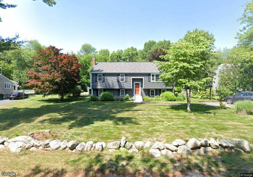
212 Bridge St Raynham, MA 02767
Estimated Value: $558,000 - $595,000
--
Bed
1
Bath
1,713
Sq Ft
$336/Sq Ft
Est. Value
About This Home
This home is located at 212 Bridge St, Raynham, MA 02767 and is currently estimated at $574,895, approximately $335 per square foot. 212 Bridge St is a home located in Bristol County with nearby schools including Merrill Elementary School, LaLiberte Elementary School, and Williams Intermediate School.
Ownership History
Date
Name
Owned For
Owner Type
Purchase Details
Closed on
Aug 2, 1991
Sold by
Correia Michael and Correia Theresa
Bought by
Paton James K and Paton Ursula
Current Estimated Value
Home Financials for this Owner
Home Financials are based on the most recent Mortgage that was taken out on this home.
Original Mortgage
$122,400
Interest Rate
9.58%
Mortgage Type
Purchase Money Mortgage
Create a Home Valuation Report for This Property
The Home Valuation Report is an in-depth analysis detailing your home's value as well as a comparison with similar homes in the area
Home Values in the Area
Average Home Value in this Area
Purchase History
| Date | Buyer | Sale Price | Title Company |
|---|---|---|---|
| Paton James K | $136,000 | -- |
Source: Public Records
Mortgage History
| Date | Status | Borrower | Loan Amount |
|---|---|---|---|
| Open | Paton James K | $25,000 | |
| Open | Paton James K | $151,400 | |
| Closed | Paton James K | $118,000 | |
| Closed | Paton James K | $122,400 |
Source: Public Records
Tax History Compared to Growth
Tax History
| Year | Tax Paid | Tax Assessment Tax Assessment Total Assessment is a certain percentage of the fair market value that is determined by local assessors to be the total taxable value of land and additions on the property. | Land | Improvement |
|---|---|---|---|---|
| 2025 | $6,072 | $501,800 | $210,000 | $291,800 |
| 2024 | $5,995 | $482,700 | $190,900 | $291,800 |
| 2023 | $5,560 | $408,800 | $171,800 | $237,000 |
| 2022 | $5,552 | $374,400 | $162,300 | $212,100 |
| 2021 | $133 | $356,700 | $152,700 | $204,000 |
| 2020 | $4,938 | $342,700 | $145,100 | $197,600 |
| 2019 | $135 | $333,100 | $135,500 | $197,600 |
| 2018 | $134 | $296,300 | $127,900 | $168,400 |
| 2017 | $3,675 | $275,700 | $122,200 | $153,500 |
| 2016 | $4,073 | $271,900 | $118,400 | $153,500 |
| 2015 | $3,697 | $242,600 | $123,300 | $119,300 |
Source: Public Records
Map
Nearby Homes
- 38 Elm St E
- 22 Sunflower Dr
- 1540 Broadway Unit 30
- 1540 Broadway Unit 31
- 658 Broadway
- 120 Carver St
- 1553 Broadway
- 281 Carver St
- 5 New Carver St
- 1681 Broadway
- 203 Hall St
- 1789 Broadway
- 7 Minute Man Rd
- 372 Britton St
- 1 Betsy Ross Rd
- 17 Puritan Rd
- 109 Broadway
- 2 Maplewood Ln Unit 21-1
- 0 Maplewood Unit 21.3 73426136
- 0 Maplewood Unit 33-1 73420094