212 Buckingham Cir Lafayette, IN 47909
Estimated Value: $332,000 - $432,000
3
Beds
3
Baths
2,696
Sq Ft
$144/Sq Ft
Est. Value
About This Home
This home is located at 212 Buckingham Cir, Lafayette, IN 47909 and is currently estimated at $388,534, approximately $144 per square foot. 212 Buckingham Cir is a home located in Tippecanoe County with nearby schools including Mayflower Mill Elementary School, Southwestern Middle School, and McCutcheon High School.
Ownership History
Date
Name
Owned For
Owner Type
Purchase Details
Closed on
Jun 18, 2004
Sold by
Wilcox Jeffrey A and Wilcox Debra K
Bought by
Wood Arthur J and Wood Cheryl A
Current Estimated Value
Home Financials for this Owner
Home Financials are based on the most recent Mortgage that was taken out on this home.
Original Mortgage
$115,000
Outstanding Balance
$56,856
Interest Rate
6.17%
Mortgage Type
Unknown
Estimated Equity
$331,678
Create a Home Valuation Report for This Property
The Home Valuation Report is an in-depth analysis detailing your home's value as well as a comparison with similar homes in the area
Home Values in the Area
Average Home Value in this Area
Purchase History
| Date | Buyer | Sale Price | Title Company |
|---|---|---|---|
| Wood Arthur J | -- | -- |
Source: Public Records
Mortgage History
| Date | Status | Borrower | Loan Amount |
|---|---|---|---|
| Open | Wood Arthur J | $115,000 |
Source: Public Records
Tax History Compared to Growth
Tax History
| Year | Tax Paid | Tax Assessment Tax Assessment Total Assessment is a certain percentage of the fair market value that is determined by local assessors to be the total taxable value of land and additions on the property. | Land | Improvement |
|---|---|---|---|---|
| 2024 | $2,549 | $342,400 | $59,800 | $282,600 |
| 2023 | $2,193 | $301,700 | $29,900 | $271,800 |
| 2022 | $1,901 | $257,700 | $29,900 | $227,800 |
| 2021 | $1,715 | $235,300 | $29,900 | $205,400 |
| 2020 | $1,540 | $218,500 | $29,900 | $188,600 |
| 2019 | $1,334 | $203,300 | $29,900 | $173,400 |
| 2018 | $1,227 | $193,500 | $29,900 | $163,600 |
| 2017 | $1,205 | $188,800 | $29,900 | $158,900 |
| 2016 | $1,190 | $188,500 | $29,900 | $158,600 |
| 2014 | $1,097 | $178,000 | $29,900 | $148,100 |
| 2013 | $1,122 | $173,900 | $29,900 | $144,000 |
Source: Public Records
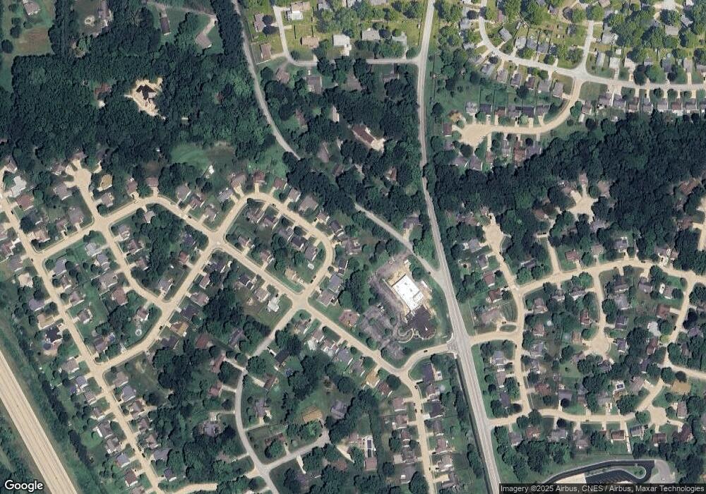
Map
Nearby Homes
- 214 Mccutcheon Dr
- 4108 Westwind Dr
- 4901 Chickadee Dr
- 4902 Osprey Ct
- 122 Detchon Ct
- 825 Ravenstone Dr
- 775 N Admirals Pointe Dr
- 857 Ravenstone Dr
- 880 Drydock Dr
- 892 Ravenstone Dr
- 4654 Flagship Ln
- 5127 Old Us Highway 231 S
- 603 West St
- 0 W 500 S
- 4336 Admirals Cove Dr
- 4254-4268 Admirals Cove Dr
- 1062 N Admirals Pointe Dr
- 5091 Sage St
- 5135 Sage St
- 920 N Wagon Wheel Trail
- 208 Buckingham Cir
- 216 Buckingham Cir
- 4217 Trees Hill Dr
- 220 Buckingham Cir
- 204 Buckingham Cir
- 213 Buckingham Cir
- 4401 Old Romney Rd
- 221 Buckingham Cir
- 4213 Trees Hill Dr
- 200 Buckingham Cir
- 4216 Trees Hill Dr
- 204 Buckingham Dr
- 225 Buckingham Cir
- 229 Buckingham Cir
- 210 Buckingham Dr
- 4210 Mayflower Dr
- 232 Buckingham Cir
- 4212 Trees Hill Dr
- 121 Buckingham Dr
- 4206 Mayflower Dr