212 Burnie Rd Unit 2 Woodstock, GA 30188
Union Hill NeighborhoodEstimated Value: $385,000 - $385,286
3
Beds
2
Baths
2,160
Sq Ft
$178/Sq Ft
Est. Value
About This Home
This home is located at 212 Burnie Rd Unit 2, Woodstock, GA 30188 and is currently estimated at $385,143, approximately $178 per square foot. 212 Burnie Rd Unit 2 is a home located in Cherokee County with nearby schools including Mountain Road Elementary School, Rusk Middle School, and Sequoyah High School.
Ownership History
Date
Name
Owned For
Owner Type
Purchase Details
Closed on
Mar 28, 2002
Sold by
Derosa George
Bought by
Mobley Charles T and Mobley Amanda S
Current Estimated Value
Home Financials for this Owner
Home Financials are based on the most recent Mortgage that was taken out on this home.
Original Mortgage
$121,400
Outstanding Balance
$49,452
Interest Rate
6.85%
Mortgage Type
New Conventional
Estimated Equity
$335,691
Create a Home Valuation Report for This Property
The Home Valuation Report is an in-depth analysis detailing your home's value as well as a comparison with similar homes in the area
Home Values in the Area
Average Home Value in this Area
Purchase History
| Date | Buyer | Sale Price | Title Company |
|---|---|---|---|
| Mobley Charles T | $134,900 | -- |
Source: Public Records
Mortgage History
| Date | Status | Borrower | Loan Amount |
|---|---|---|---|
| Open | Mobley Charles T | $121,400 |
Source: Public Records
Tax History Compared to Growth
Tax History
| Year | Tax Paid | Tax Assessment Tax Assessment Total Assessment is a certain percentage of the fair market value that is determined by local assessors to be the total taxable value of land and additions on the property. | Land | Improvement |
|---|---|---|---|---|
| 2025 | $2,833 | $122,888 | $24,400 | $98,488 |
| 2024 | $2,935 | $128,688 | $24,400 | $104,288 |
| 2023 | $2,219 | $115,328 | $24,400 | $90,928 |
| 2022 | $2,561 | $109,488 | $22,400 | $87,088 |
| 2021 | $2,183 | $83,928 | $20,000 | $63,928 |
| 2020 | $1,897 | $71,488 | $14,800 | $56,688 |
| 2019 | $1,814 | $67,920 | $14,400 | $53,520 |
| 2018 | $1,653 | $60,640 | $14,400 | $46,240 |
| 2017 | $1,540 | $139,300 | $12,800 | $42,920 |
| 2016 | $1,515 | $135,900 | $12,800 | $41,560 |
| 2015 | $1,413 | $125,900 | $11,200 | $39,160 |
| 2014 | $1,370 | $122,000 | $11,200 | $37,600 |
Source: Public Records
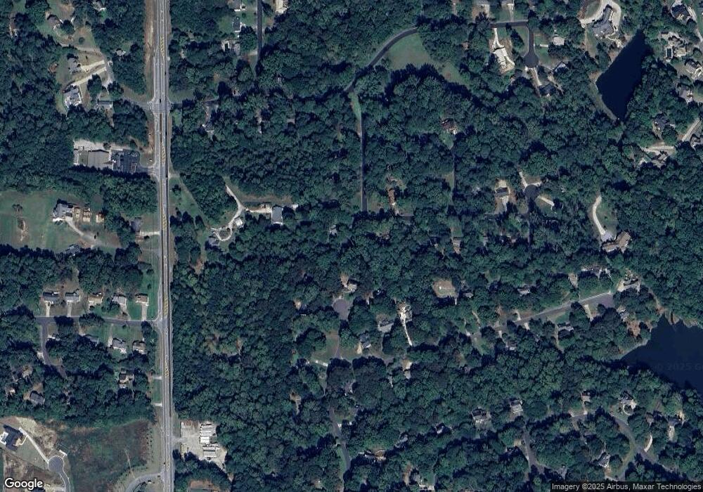
Map
Nearby Homes
- 136 Plantation Trace
- 214 Kingsley Way
- 234 Aberdeen Way
- 239 Aberdeen Way
- 4297 Earney Rd
- 1188 Ridgeview Rd
- 7052 Foundry Dr
- 1168 Ridgeview Rd
- 1058 Arnold Mill Rd
- 528 River Lakeside Ln
- 619 Stoney Creek Rd
- 13795 Arnold Mill Rd
- Payton Plan at Holly Farm - Highlands
- Monteluce Plan at Holly Farm - Highlands
- Antioch Plan at Holly Farm - Highlands
- Roswell Plan at Holly Farm - Highlands
- Hedgerow Plan at Holly Farm - Highlands
- Hendricks Plan at Holly Farm - Highlands
- 210 River Laurel Way
- 1043 Ridgeview Rd
- 518 Falls Way Unit 2
- 210 Burnie Rd
- 214 Burnie Rd
- 517 Falls Way
- 208 Burnie Rd Unit 2
- 516 Falls Way
- 216 Burnie Rd
- 209 Burnie Rd
- 515 Falls Way
- 206 Burnie Rd
- 9895 Hickory Flat Hwy
- 303 Falls Ct Unit 2
- 218 Burnie Rd Unit 3
- 301 Falls Ct Unit 2
- 207 Burnie Rd
- 513 Falls Way
- 204 Burnie Rd
- 305 Falls Ct
- 205 Burnie Rd
- 220 Burnie Rd