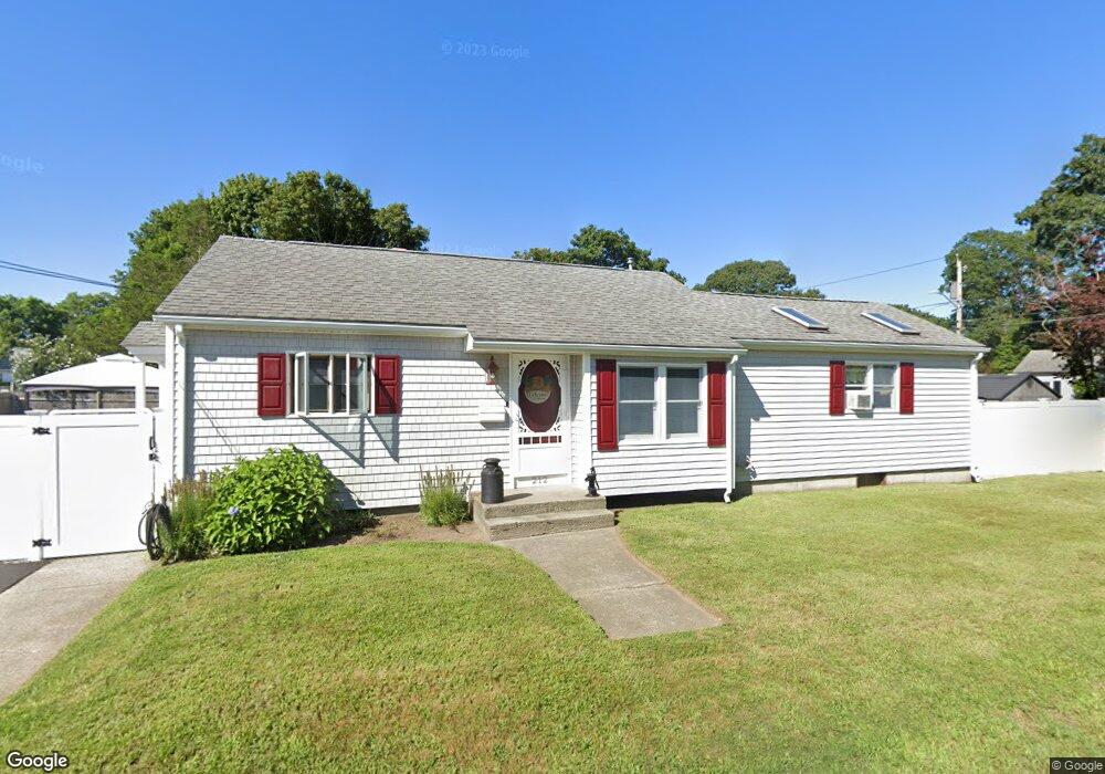
212 Burnside Ave Riverside, RI 02915
Riverside NeighborhoodEstimated Value: $391,955 - $459,000
2
Beds
2
Baths
1,098
Sq Ft
$383/Sq Ft
Est. Value
About This Home
This home is located at 212 Burnside Ave, Riverside, RI 02915 and is currently estimated at $420,989, approximately $383 per square foot. 212 Burnside Ave is a home located in Providence County with nearby schools including East Providence High School, St Mary Academy-Bay View, and St Luke Elementary School.
Ownership History
Date
Name
Owned For
Owner Type
Purchase Details
Closed on
Feb 28, 2013
Sold by
Fedorak Michael J and Fedorak Karen
Bought by
Fedorak Karen and Pekley James
Current Estimated Value
Purchase Details
Closed on
Jul 12, 1984
Bought by
Medina John F and Medina Cathleen A
Create a Home Valuation Report for This Property
The Home Valuation Report is an in-depth analysis detailing your home's value as well as a comparison with similar homes in the area
Home Values in the Area
Average Home Value in this Area
Purchase History
| Date | Buyer | Sale Price | Title Company |
|---|---|---|---|
| Fedorak Karen | -- | -- | |
| Medina John F | $38,000 | -- | |
| Fedorak Karen | -- | -- |
Source: Public Records
Mortgage History
| Date | Status | Borrower | Loan Amount |
|---|---|---|---|
| Previous Owner | Medina John F | $160,000 | |
| Previous Owner | Medina John F | $114,000 | |
| Previous Owner | Medina John F | $74,000 |
Source: Public Records
Tax History
| Year | Tax Paid | Tax Assessment Tax Assessment Total Assessment is a certain percentage of the fair market value that is determined by local assessors to be the total taxable value of land and additions on the property. | Land | Improvement |
|---|---|---|---|---|
| 2025 | $4,639 | $354,900 | $85,500 | $269,400 |
| 2024 | $4,792 | $312,600 | $71,300 | $241,300 |
| 2023 | $4,614 | $312,600 | $71,300 | $241,300 |
| 2022 | $4,468 | $204,400 | $47,500 | $156,900 |
| 2021 | $4,395 | $204,400 | $44,000 | $160,400 |
| 2020 | $4,209 | $204,400 | $44,000 | $160,400 |
| 2019 | $4,092 | $204,400 | $44,000 | $160,400 |
| 2018 | $4,041 | $176,600 | $47,100 | $129,500 |
| 2017 | $3,951 | $176,600 | $47,100 | $129,500 |
| 2016 | $3,931 | $176,600 | $47,100 | $129,500 |
| 2015 | $3,865 | $168,400 | $46,100 | $122,300 |
| 2014 | $3,865 | $168,400 | $46,100 | $122,300 |
Source: Public Records
Map
Nearby Homes
- 25 Winslow St
- 103 Burnside Ave
- 25 Arnold St
- 151 Willett Ave Unit 2
- 14 Benedict St
- 14 Winthrop St
- 33 Pine St Unit 35
- 28 Jefferson Ave
- 43 Bullocks Point Ave Unit 4A
- 72 Stowe Ave
- 25 Bullocks Point Ave Unit 5C
- 33 Bullocks Point Ave Unit 5C
- 15 Claire St
- 6 Fuller Ave
- 85 Hilton Ave
- 15 Plaza Dr
- 10 Booth Ave
- 41 White Ave
- 129 Shore Rd
- 23 Albert Ave
- 29 Somerset Ave
- 38 Rhodes Ave
- 33 Somerset Ave
- 35 Somerset Ave Unit 35F,1
- 37 Somerset Ave
- 25 Somerset Ave
- 30 Rhodes Ave
- 50 Rhodes Ave
- 41 Somerset Ave
- 21 Somerset Ave
- 33 Rhodes Ave
- 26 Rhodes Ave
- 41 Rhodes Ave
- 38 Somerset Ave
- 34 Somerset Ave
- 30 Somerset Ave
- 45 Somerset Ave
- 26 Somerset Ave
- 29 Rhodes Ave
- 52 Rhodes Ave
Your Personal Tour Guide
Ask me questions while you tour the home.