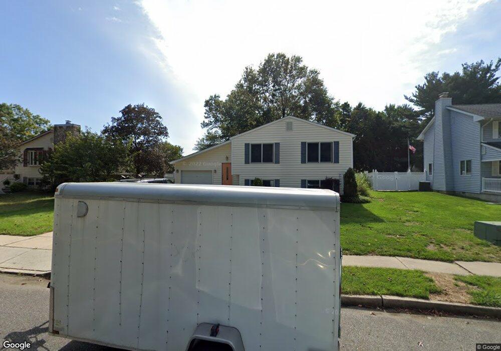
212 Carter Ave Gibbstown, NJ 08027
Greenwich Township NeighborhoodEstimated Value: $205,268 - $369,000
--
Bed
--
Bath
229
Sq Ft
$1,299/Sq Ft
Est. Value
About This Home
This home is located at 212 Carter Ave, Gibbstown, NJ 08027 and is currently estimated at $297,567, approximately $1,299 per square foot. 212 Carter Ave is a home located in Gloucester County with nearby schools including Nehaunsey Middle School and Guardian Angels Regional School.
Ownership History
Date
Name
Owned For
Owner Type
Purchase Details
Closed on
Feb 20, 2002
Sold by
Brynes Marlene
Bought by
Byrnes Michael F
Current Estimated Value
Create a Home Valuation Report for This Property
The Home Valuation Report is an in-depth analysis detailing your home's value as well as a comparison with similar homes in the area
Home Values in the Area
Average Home Value in this Area
Purchase History
| Date | Buyer | Sale Price | Title Company |
|---|---|---|---|
| Byrnes Michael F | $59,065 | -- |
Source: Public Records
Tax History Compared to Growth
Tax History
| Year | Tax Paid | Tax Assessment Tax Assessment Total Assessment is a certain percentage of the fair market value that is determined by local assessors to be the total taxable value of land and additions on the property. | Land | Improvement |
|---|---|---|---|---|
| 2025 | $5,082 | $147,600 | $36,500 | $111,100 |
| 2024 | $4,815 | $147,600 | $36,500 | $111,100 |
| 2023 | $4,815 | $147,600 | $36,500 | $111,100 |
| 2022 | $4,818 | $147,600 | $36,500 | $111,100 |
| 2021 | $4,767 | $147,600 | $36,500 | $111,100 |
| 2020 | $4,834 | $147,600 | $36,500 | $111,100 |
| 2019 | $4,837 | $147,600 | $36,500 | $111,100 |
| 2018 | $4,700 | $147,600 | $36,500 | $111,100 |
| 2017 | $4,586 | $147,600 | $36,500 | $111,100 |
| 2016 | $4,536 | $147,600 | $36,500 | $111,100 |
| 2015 | $4,390 | $147,600 | $36,500 | $111,100 |
| 2014 | $4,201 | $147,600 | $36,500 | $111,100 |
Source: Public Records
Map
Nearby Homes
- W Broad St
- 0 S Democrat Rd Unit NJGL2065008
- 330 Croce Ave
- 0 Swedesboro Ave Unit NJGL2061592
- 219 Vanneman Blvd
- 100 Giammarino Ave
- 342 Democrat Rd
- 344 W Washington St
- 335 W Buck St
- 157 S Poplar St
- L18 20 W Broad St
- 255 Elizabeth Ave
- 431 Washington St
- 269 W Broad St
- 433 Jefferson St
- 1043 Penn Line Rd
- 1224 Heddon Ave
- 1214 Walter Ave
- 227 W Buck St
- 140 142 W Jefferson St
- 218 Carter Ave
- 206 Carter Ave
- 429 Daniel Ave
- 224 Carter Ave
- 423 Daniel Ave
- 200 Carter Ave
- 211 Carter Ave
- 217 Carter Ave
- 230 Carter Ave
- 417 Daniel Ave
- 1461 Memorial Ave
- 1473 Memorial Ave
- 1479 Memorial Ave
- 1455 Memorial Ave
- 436 Daniel Ave
- 411 Daniel Ave
- 430 Daniel Ave
- 1467 Memorial Ave
- 442 Daniel Ave
- 424 Daniel Ave