212 Cessna Blvd Unit 12 Port Orange, FL 32128
Samsula-Spruce Creek NeighborhoodEstimated Value: $1,240,837 - $1,357,000
3
Beds
2
Baths
3,250
Sq Ft
$400/Sq Ft
Est. Value
About This Home
This home is located at 212 Cessna Blvd Unit 12, Port Orange, FL 32128 and is currently estimated at $1,298,919, approximately $399 per square foot. 212 Cessna Blvd Unit 12 is a home located in Volusia County with nearby schools including Cypress Creek Elementary School, Creekside Middle School, and Spruce Creek High School.
Ownership History
Date
Name
Owned For
Owner Type
Purchase Details
Closed on
Feb 20, 2013
Sold by
Stamper Tony and Stamper Teri
Bought by
Happy Turtle Properties Llc
Current Estimated Value
Purchase Details
Closed on
Nov 15, 2005
Sold by
Family Skies Inc
Bought by
Stamper Tony and Stamper Tero
Purchase Details
Closed on
Aug 9, 2001
Sold by
Spreng Gustl
Bought by
Family Skies Inc
Create a Home Valuation Report for This Property
The Home Valuation Report is an in-depth analysis detailing your home's value as well as a comparison with similar homes in the area
Home Values in the Area
Average Home Value in this Area
Purchase History
| Date | Buyer | Sale Price | Title Company |
|---|---|---|---|
| Happy Turtle Properties Llc | $420,000 | Coast Title Of Volusia | |
| Stamper Tony | $390,000 | Aaa Title Insurance Corp Inc | |
| Family Skies Inc | $247,500 | -- |
Source: Public Records
Tax History Compared to Growth
Tax History
| Year | Tax Paid | Tax Assessment Tax Assessment Total Assessment is a certain percentage of the fair market value that is determined by local assessors to be the total taxable value of land and additions on the property. | Land | Improvement |
|---|---|---|---|---|
| 2025 | $8,858 | $585,744 | $195,000 | $390,744 |
| 2024 | $8,858 | $510,071 | $162,500 | $347,571 |
| 2023 | $8,858 | $490,079 | $162,500 | $327,579 |
| 2022 | $389 | $20,362 | $20,362 | $0 |
| 2021 | $8,708 | $440,624 | $162,500 | $278,124 |
| 2020 | $8,156 | $412,015 | $146,250 | $265,765 |
| 2019 | $7,852 | $376,689 | $146,250 | $230,439 |
| 2018 | $7,659 | $360,439 | $130,000 | $230,439 |
| 2017 | $8,778 | $409,100 | $162,500 | $246,600 |
| 2016 | $8,574 | $380,007 | $0 | $0 |
| 2015 | $7,942 | $326,872 | $0 | $0 |
| 2014 | $7,581 | $313,728 | $0 | $0 |
Source: Public Records
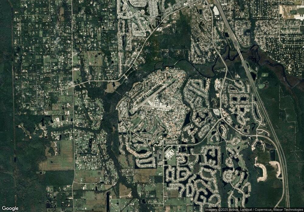
Map
Nearby Homes
- 2633 Slow Flight Dr
- 1795 Earhart Ct
- 1787 Earhart Ct
- 2584 E Spruce Creek Blvd
- 1779 Earhart Ct
- 52 Taxiway Lindy Loop
- 2672 E Spruce Creek Blvd
- 2540 Tail Spin Trail
- 1882 Royal Lytham Ct
- 2536 Tail Spin Trail
- 2690 E Spruce Creek Blvd
- 14 Taxiway Lindy
- 1766 Roscoe Turner Trail
- 1888 Seclusion Dr
- 1889 Seclusion Dr
- 56 Lazy Eight Dr
- 5986 Heron Pond Dr
- 1405 Florida Moss Ln
- 5988 Heron Pond Dr
- 1340 Osprey Nest Ln
- 212 Cessna Blvd Unit 15
- 212 Cessna Blvd Unit 8
- 212 Cessna Blvd Unit 4&9
- 212 Cessna Blvd Unit 6
- 212 Cessna Blvd
- 212 Cessna Blvd Unit 5
- 212 Cessna Blvd Unit 17
- 212 Cessna Blvd Unit 14
- 2629 Slow Flight Dr
- 220 Cessna Blvd
- 1842 Wright Dr
- 2626 Slow Flight Dr
- 2641 Slow Flight Dr
- 210 Cessna Blvd Unit 7
- 210 Cessna Blvd Unit 6
- 210 Cessna Blvd
- 210 Cessna Blvd Unit 9
- 1831 Lindbergh Ln
- 1838 Wright Dr
- 1837 Wright Dr