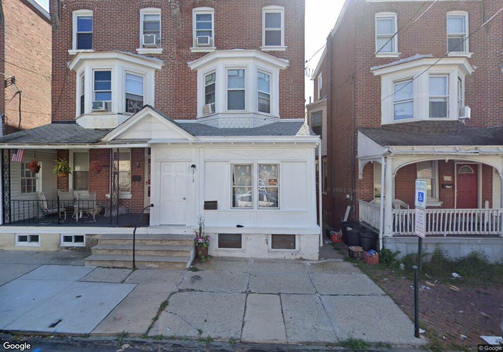
212 Chain St Norristown, PA 19401
Estimated Value: $172,570 - $254,000
5
Beds
1
Bath
1,880
Sq Ft
$113/Sq Ft
Est. Value
About This Home
This home is located at 212 Chain St, Norristown, PA 19401 and is currently estimated at $212,893, approximately $113 per square foot. 212 Chain St is a home located in Montgomery County with nearby schools including Davenport Elementary School, Charles Blockson Middle School, and East Norriton Middle School.
Ownership History
Date
Name
Owned For
Owner Type
Purchase Details
Closed on
Dec 12, 1988
Bought by
Simpkins Eartha
Current Estimated Value
Create a Home Valuation Report for This Property
The Home Valuation Report is an in-depth analysis detailing your home's value as well as a comparison with similar homes in the area
Home Values in the Area
Average Home Value in this Area
Purchase History
| Date | Buyer | Sale Price | Title Company |
|---|---|---|---|
| Simpkins Eartha | $47,000 | -- |
Source: Public Records
Tax History Compared to Growth
Tax History
| Year | Tax Paid | Tax Assessment Tax Assessment Total Assessment is a certain percentage of the fair market value that is determined by local assessors to be the total taxable value of land and additions on the property. | Land | Improvement |
|---|---|---|---|---|
| 2025 | $3,582 | $58,350 | $20,820 | $37,530 |
| 2024 | $3,582 | $58,350 | $20,820 | $37,530 |
| 2023 | $3,550 | $58,350 | $20,820 | $37,530 |
| 2022 | $3,473 | $58,350 | $20,820 | $37,530 |
| 2021 | $3,456 | $58,350 | $20,820 | $37,530 |
| 2020 | $3,297 | $58,350 | $20,820 | $37,530 |
| 2019 | $3,237 | $58,350 | $20,820 | $37,530 |
| 2018 | $1,907 | $58,350 | $20,820 | $37,530 |
| 2017 | $2,972 | $58,350 | $20,820 | $37,530 |
| 2016 | $2,950 | $58,350 | $20,820 | $37,530 |
| 2015 | $2,826 | $58,350 | $20,820 | $37,530 |
| 2014 | $2,826 | $58,350 | $20,820 | $37,530 |
Source: Public Records
Map
Nearby Homes
- 201 Chain St Unit 28
- 208 Stanbridge St Unit 35
- 544 Stanbridge St
- 557 Haws Ave
- 907 W Airy St
- 558 Stanbridge St
- 0 Astor St
- 13 Stanbridge St
- 637 Kohn St
- 1009 W Main St
- 521 Norris St
- 905 W Marshall St
- 324 Cherry St
- 530 Norris St
- 534 Norris St
- 243 Buttonwood St
- 1016 Thomas Barone St
- 654 Stanbridge St
- 701 Haws Ave
- 718 Astor St