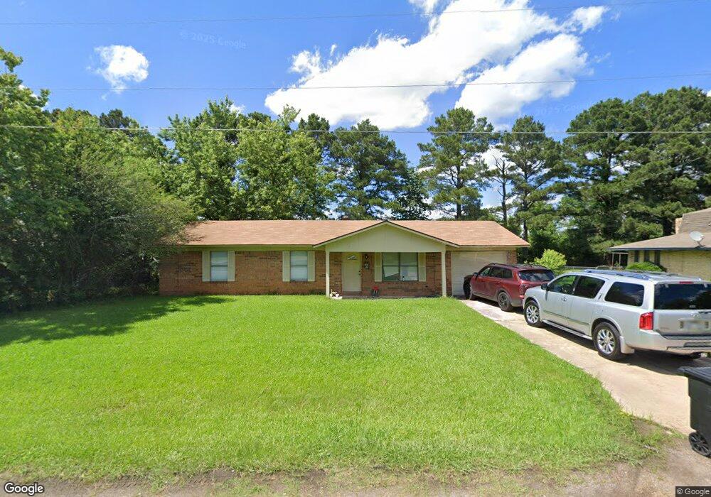
212 Cindy Dr Ashdown, AR 71822
Estimated Value: $114,448 - $176,000
Studio
2
Baths
1,292
Sq Ft
$118/Sq Ft
Est. Value
About This Home
This home is located at 212 Cindy Dr, Ashdown, AR 71822 and is currently estimated at $152,612, approximately $118 per square foot. 212 Cindy Dr is a home located in Little River County with nearby schools including L.F. Henderson Interm. School, Ashdown Elementary School, and Ashdown Junior High School.
Ownership History
Date
Name
Owned For
Owner Type
Purchase Details
Closed on
Aug 17, 2006
Bought by
Estate Of James Jackson
Current Estimated Value
Purchase Details
Closed on
Jun 27, 2006
Bought by
Cook James T
Purchase Details
Closed on
Dec 13, 2004
Bought by
Gribble D E and M E
Purchase Details
Closed on
Jul 12, 2004
Bought by
Gribble D E and M E
Purchase Details
Closed on
Aug 25, 1999
Bought by
Gribble D E and M E
Purchase Details
Closed on
Jun 23, 1999
Bought by
Gribble D E and M E
Purchase Details
Closed on
Jul 1, 1993
Bought by
Gribble D E and M E
Create a Home Valuation Report for This Property
The Home Valuation Report is an in-depth analysis detailing your home's value as well as a comparison with similar homes in the area
Home Values in the Area
Average Home Value in this Area
Purchase History
| Date | Buyer | Sale Price | Title Company |
|---|---|---|---|
| Estate Of James Jackson | -- | -- | |
| Cook James T | -- | -- | |
| Gribble D E | $32,000 | -- | |
| Gribble D E | $32,000 | -- | |
| Gribble D E | -- | -- | |
| Gribble D E | -- | -- | |
| Gribble D E | -- | -- |
Source: Public Records
Tax History
| Year | Tax Paid | Tax Assessment Tax Assessment Total Assessment is a certain percentage of the fair market value that is determined by local assessors to be the total taxable value of land and additions on the property. | Land | Improvement |
|---|---|---|---|---|
| 2025 | $678 | $16,180 | $1,590 | $14,590 |
| 2024 | $678 | $16,180 | $1,590 | $14,590 |
| 2023 | $662 | $16,180 | $1,590 | $14,590 |
| 2022 | $607 | $16,180 | $1,590 | $14,590 |
| 2021 | $552 | $13,170 | $890 | $12,280 |
| 2020 | $552 | $13,170 | $890 | $12,280 |
| 2019 | $552 | $13,170 | $890 | $12,280 |
| 2018 | $552 | $13,170 | $890 | $12,280 |
| 2017 | $524 | $13,170 | $890 | $12,280 |
| 2016 | $476 | $11,360 | $1,040 | $10,320 |
| 2015 | $476 | $11,360 | $1,040 | $10,320 |
| 2014 | $459 | $11,360 | $1,040 | $10,320 |
Source: Public Records
Map
Nearby Homes
- 156 Cindy Dr
- 224 Cindy Dr
- 144 Cindy Dr
- 229 Cindy Dr
- 2330 Parker Ln
- 2341 Parker Ln
- 236 Cindy Dr
- 2310 Parker Ln
- 2331 Parker Ln
- 237 Cindy Dr
- 124 Cindy Dr
- 112 Cindy Dr
- 121 N K Lee Dr
- 160 N K Lee Dr
- 120 N K Lee Dr
- 2310 N Constitution Ave
- 161 N K Lee Dr
- 141 N K Lee Dr
- 140 N K Lee Dr
- 2351 N Constitution Ave
Your Personal Tour Guide
Ask me questions while you tour the home.