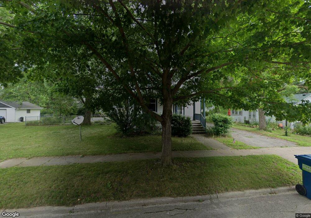
212 Clark St Clinton, MI 49236
Estimated Value: $199,000 - $245,000
4
Beds
2
Baths
1,564
Sq Ft
$143/Sq Ft
Est. Value
About This Home
This home is located at 212 Clark St, Clinton, MI 49236 and is currently estimated at $223,771, approximately $143 per square foot. 212 Clark St is a home located in Lenawee County with nearby schools including Clinton Elementary School, Clinton Middle School, and Clinton High School.
Ownership History
Date
Name
Owned For
Owner Type
Purchase Details
Closed on
Dec 2, 2016
Sold by
Schneider Dennis J and Schneider Amy R
Bought by
Clarke Estrada Jessica
Current Estimated Value
Home Financials for this Owner
Home Financials are based on the most recent Mortgage that was taken out on this home.
Original Mortgage
$135,500
Outstanding Balance
$108,492
Interest Rate
3.25%
Mortgage Type
FHA
Estimated Equity
$115,279
Purchase Details
Closed on
Mar 3, 2005
Sold by
Schneider Amy R and Niethammer Amy R
Bought by
Schneider Dennis J and Schneider Amy R
Home Financials for this Owner
Home Financials are based on the most recent Mortgage that was taken out on this home.
Original Mortgage
$108,000
Interest Rate
5.67%
Mortgage Type
New Conventional
Create a Home Valuation Report for This Property
The Home Valuation Report is an in-depth analysis detailing your home's value as well as a comparison with similar homes in the area
Home Values in the Area
Average Home Value in this Area
Purchase History
| Date | Buyer | Sale Price | Title Company |
|---|---|---|---|
| Clarke Estrada Jessica | $138,000 | None Available | |
| Schneider Dennis J | -- | None Available |
Source: Public Records
Mortgage History
| Date | Status | Borrower | Loan Amount |
|---|---|---|---|
| Open | Clarke Estrada Jessica | $135,500 | |
| Previous Owner | Schneider Dennis J | $108,000 |
Source: Public Records
Tax History
| Year | Tax Paid | Tax Assessment Tax Assessment Total Assessment is a certain percentage of the fair market value that is determined by local assessors to be the total taxable value of land and additions on the property. | Land | Improvement |
|---|---|---|---|---|
| 2025 | $2,230 | $93,900 | $0 | $0 |
| 2024 | $19 | $88,400 | $0 | $0 |
| 2022 | $3,737 | $74,500 | $0 | $0 |
| 2021 | $2,752 | $69,800 | $0 | $0 |
| 2020 | $2,715 | $65,500 | $0 | $0 |
| 2019 | $185,017 | $69,300 | $0 | $0 |
| 2018 | $2,849 | $60,627 | $0 | $0 |
| 2017 | $2,516 | $45,599 | $0 | $0 |
| 2016 | $3,399 | $45,013 | $0 | $0 |
| 2014 | -- | $49,600 | $0 | $0 |
Source: Public Records
Map
Nearby Homes
- 317 Clark St Unit B
- 128 W Church St
- 108 Burton St
- 215 Brown St
- V/L Post Oak Dr
- 10000 Meads Hwy
- 11100 Murphy Hwy
- 9000 Matthews Hwy
- 3888 Kaiser Rd
- 9655 Tecumseh Clinton Hwy
- 20664 Allen Rd
- 100 BLK Pleasant Dr
- 9103 N Union St Unit LOT 46
- 9103 N Union St Unit Lot 93
- 9103 N Union Lot #116 St Unit 116
- 607 Red Maple Dr
- 19740 Lemm Rd
- 919 Pontiac Trail
- 618 Nokomis St
- 766 Eagle View Point
- 216 Clark St
- 208 Clark St
- 206 Clark St
- 202 Clark St
- 306 Tyrrell Ln
- 306 Tyrrell Ln Unit TYRELL LANE
- 207 Clark St
- 215 Clark St
- 211 Clark St
- 201 Clark St
- Clark
- 205 Clark St
- 409 Railroad St
- 215 W Franklin St
- 413 Railroad St
- 207 W Franklin St
- 118 W Franklin St
- 406 Tyrrell Ln
- 202 W Franklin St
- 214 W Franklin St
Your Personal Tour Guide
Ask me questions while you tour the home.