212 Daddy Bobs Dr Burnsville, NC 28714
Estimated Value: $486,000 - $1,196,000
3
Beds
3
Baths
4,069
Sq Ft
$202/Sq Ft
Est. Value
About This Home
This home is located at 212 Daddy Bobs Dr, Burnsville, NC 28714 and is currently estimated at $823,848, approximately $202 per square foot. 212 Daddy Bobs Dr is a home with nearby schools including Mountain Heritage High School.
Ownership History
Date
Name
Owned For
Owner Type
Purchase Details
Closed on
Apr 13, 2017
Sold by
Beverly June Anglin Mitchell
Bought by
Greer Adam and Greer Sara
Current Estimated Value
Home Financials for this Owner
Home Financials are based on the most recent Mortgage that was taken out on this home.
Original Mortgage
$149,473
Outstanding Balance
$123,939
Interest Rate
4.08%
Estimated Equity
$699,909
Purchase Details
Closed on
Sep 10, 2016
Sold by
Harvey Helen Adams and Harvey Danny
Bought by
Greer Adam and Greer Sara
Create a Home Valuation Report for This Property
The Home Valuation Report is an in-depth analysis detailing your home's value as well as a comparison with similar homes in the area
Home Values in the Area
Average Home Value in this Area
Purchase History
| Date | Buyer | Sale Price | Title Company |
|---|---|---|---|
| Greer Adam | -- | -- | |
| Greer Adam | $150,000 | Attorney |
Source: Public Records
Mortgage History
| Date | Status | Borrower | Loan Amount |
|---|---|---|---|
| Open | Greer Adam | $149,473 | |
| Closed | Greer Adam | -- | |
| Closed | Greer Adam | $0 |
Source: Public Records
Tax History
| Year | Tax Paid | Tax Assessment Tax Assessment Total Assessment is a certain percentage of the fair market value that is determined by local assessors to be the total taxable value of land and additions on the property. | Land | Improvement |
|---|---|---|---|---|
| 2025 | $3,059 | $546,200 | $147,600 | $398,600 |
| 2024 | $3,059 | $546,200 | $147,600 | $398,600 |
| 2023 | $1,878 | $293,400 | $63,800 | $229,600 |
| 2022 | $1,840 | $293,400 | $63,800 | $229,600 |
| 2021 | $1,158 | $180,950 | $63,800 | $117,150 |
| 2020 | $408 | $63,800 | $63,800 | $0 |
| 2019 | $408 | $63,800 | $63,800 | $0 |
| 2018 | $408 | $63,800 | $63,800 | $0 |
| 2017 | $408 | $63,800 | $63,800 | $0 |
| 2016 | $618 | $96,590 | $63,900 | $32,690 |
| 2015 | $731 | $135,290 | $102,600 | $32,690 |
| 2014 | $731 | $135,290 | $102,600 | $32,690 |
Source: Public Records
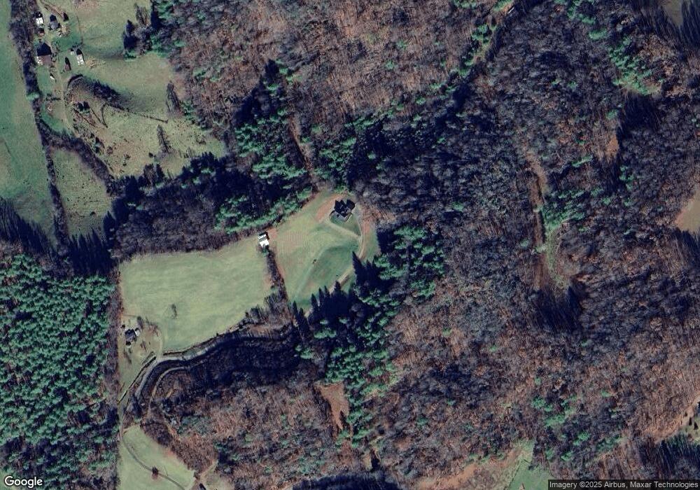
Map
Nearby Homes
- 71 Banks Creek Rd
- TBD Banks Creek Rd
- 000 Mountain Air Dr
- 124 W Dogwood Cir
- 00 Prices Creek Rd
- 00 Riverside Hills Rd Unit 9
- 222 Creekside Way Unit D-101
- 47 Creekside Way Unit H/102
- 47 Creekside Way Unit H/301
- 181 Grinnin Sun Rd
- 37 Grinnin Sun Rd
- 81 River Look Dr
- LOT 13 Austin Mountain Dr Unit 13/3
- 851 Austin Mountain Dr
- Special Parcel 1 Mountain Air Dr
- 324 Austin Mountain Dr
- Lot 20 Heritage Ridge Rd Unit 20/4
- Lot 4 Heritage Ridge Loop
- Lot 3 Heritage Ridge Loop Unit 3/4
- 104 Smokehouse Way
- 1628 Phipps Creek Rd
- 000 Phipps Creek Rd
- 1745 Phipps Creek Rd
- 1784 Phipps Creek Rd
- 0 Daddy Bobs Dr Unit 3246176
- 109 Dahlia Ln
- 235 Daddy Bobs Dr
- 105 Dahlia Ln
- 45 Bitterroot Dr
- 1372 Phipps Creek Rd
- 261 Dahlia Ln
- 221 Daisy Ln
- 1178 Banks Creek Rd
- 1286 Phipps Creek Rd
- 1537 Banks Creek Rd
- 1014 Banks Creek Rd
- 72 Freedom Ln
- 220 Castle Ln
- 54 Daisy Ln
- 180 Southern Comfort Dr
Your Personal Tour Guide
Ask me questions while you tour the home.