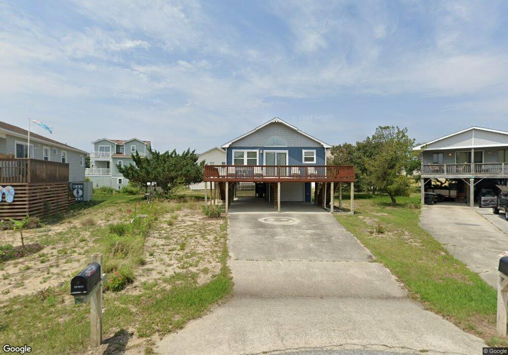
212 David Ln Unit 144 Kill Devil Hills, NC 27948
Estimated Value: $428,482 - $470,000
3
Beds
2
Baths
1,040
Sq Ft
$434/Sq Ft
Est. Value
About This Home
This home is located at 212 David Ln Unit 144, Kill Devil Hills, NC 27948 and is currently estimated at $450,871, approximately $433 per square foot. 212 David Ln Unit 144 is a home located in Dare County with nearby schools including Nags Head Elementary School, First Flight Middle School, and First Flight High School.
Ownership History
Date
Name
Owned For
Owner Type
Purchase Details
Closed on
Jan 8, 2009
Sold by
Jenkins Jack W and Jenkins Frances M
Bought by
Mackay Eric R and Mackay Stephanie A
Current Estimated Value
Home Financials for this Owner
Home Financials are based on the most recent Mortgage that was taken out on this home.
Original Mortgage
$188,000
Outstanding Balance
$123,123
Interest Rate
5.95%
Mortgage Type
Purchase Money Mortgage
Estimated Equity
$327,748
Create a Home Valuation Report for This Property
The Home Valuation Report is an in-depth analysis detailing your home's value as well as a comparison with similar homes in the area
Home Values in the Area
Average Home Value in this Area
Purchase History
| Date | Buyer | Sale Price | Title Company |
|---|---|---|---|
| Mackay Eric R | $235,000 | None Available |
Source: Public Records
Mortgage History
| Date | Status | Borrower | Loan Amount |
|---|---|---|---|
| Open | Mackay Eric R | $188,000 |
Source: Public Records
Tax History
| Year | Tax Paid | Tax Assessment Tax Assessment Total Assessment is a certain percentage of the fair market value that is determined by local assessors to be the total taxable value of land and additions on the property. | Land | Improvement |
|---|---|---|---|---|
| 2025 | $2,261 | $416,200 | $200,600 | $215,600 |
| 2024 | $1,803 | $238,600 | $86,300 | $152,300 |
| 2023 | $956 | $238,600 | $86,300 | $152,300 |
| 2022 | $1,719 | $238,600 | $86,300 | $152,300 |
| 2021 | $1,719 | $238,600 | $86,300 | $152,300 |
| 2020 | $1,719 | $238,600 | $86,300 | $152,300 |
| 2019 | $1,437 | $165,200 | $66,600 | $98,600 |
| 2018 | $1,406 | $165,200 | $66,600 | $98,600 |
| 2017 | $1,399 | $164,400 | $66,600 | $97,800 |
| 2016 | $1,333 | $164,400 | $66,600 | $97,800 |
| 2014 | $1,284 | $164,400 | $66,600 | $97,800 |
Source: Public Records
Map
Nearby Homes
- 1317 Devonshire Rd Unit 36
- 105 Charlotte St Unit Lot 459
- 102 Greensboro St Unit Lot 504
- 1817 Sioux St Unit Lot 7
- 1806 Creek St Unit Lot 13
- 705 W 4th St Unit Lot 23
- 2034 N Virginia Dare Trail Unit Lot 24
- 2035 S Virginia Dare Trail Unit 14
- 106 W Avalon Dr Unit Lot 88
- 1100 W Durham St Unit lot 697
- 1711 Bobby Lee Trail
- 1208 W 4th St Unit 4
- 702 W Avalon Dr Unit 206
- 1204 Indian Dr Unit Lot 29
- 1701 N Virginia Dare Trail Unit C3
- 0 W Palmetto St Unit Lot 21R 129908
- 1005 W Avalon Dr Unit Lot 272
- 1207 W 4th St Unit Lot 45
- 1633 N Virginia Dare Trail Unit 3-A
- 1633 N Virginia Dare Trail Unit C2
Your Personal Tour Guide
Ask me questions while you tour the home.