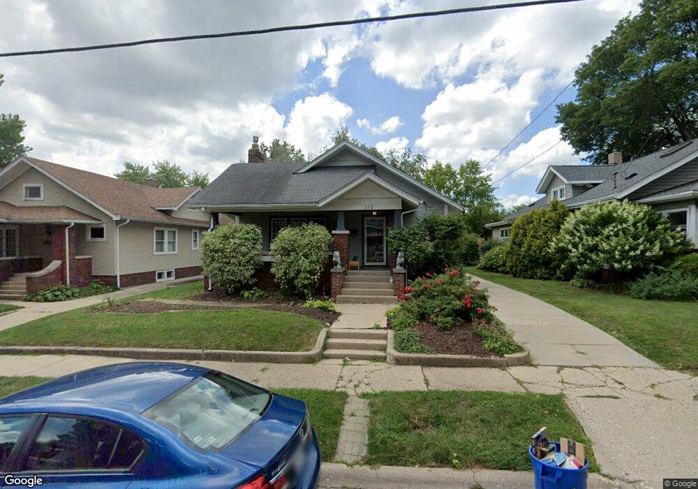
212 Dawson Ave Rockford, IL 61107
North Highland NeighborhoodEstimated Value: $187,297 - $206,000
3
Beds
2
Baths
1,660
Sq Ft
$120/Sq Ft
Est. Value
About This Home
This home is located at 212 Dawson Ave, Rockford, IL 61107 and is currently estimated at $198,574, approximately $119 per square foot. 212 Dawson Ave is a home located in Winnebago County with nearby schools including Maud E. Johnson Elementary School, Abraham Lincoln Middle School, and Rockford East High School.
Ownership History
Date
Name
Owned For
Owner Type
Purchase Details
Closed on
Jul 12, 2024
Sold by
Sheridan Daniel and Sheridan-Bell Danielle
Bought by
Sheridan Individual Declaration Of Living Tru and Sheridan-Bell
Current Estimated Value
Purchase Details
Closed on
May 29, 2014
Bought by
Sheridan Danielle
Create a Home Valuation Report for This Property
The Home Valuation Report is an in-depth analysis detailing your home's value as well as a comparison with similar homes in the area
Home Values in the Area
Average Home Value in this Area
Purchase History
| Date | Buyer | Sale Price | Title Company |
|---|---|---|---|
| Sheridan Individual Declaration Of Living Tru | -- | None Listed On Document | |
| Sheridan Danielle | $87,000 | -- |
Source: Public Records
Tax History Compared to Growth
Tax History
| Year | Tax Paid | Tax Assessment Tax Assessment Total Assessment is a certain percentage of the fair market value that is determined by local assessors to be the total taxable value of land and additions on the property. | Land | Improvement |
|---|---|---|---|---|
| 2024 | $4,450 | $46,954 | $5,247 | $41,707 |
| 2023 | $4,299 | $41,402 | $4,627 | $36,775 |
| 2022 | $4,228 | $37,006 | $4,136 | $32,870 |
| 2021 | $4,159 | $33,931 | $3,792 | $30,139 |
| 2020 | $4,125 | $32,077 | $3,585 | $28,492 |
| 2019 | $3,292 | $30,573 | $3,417 | $27,156 |
| 2018 | $3,238 | $28,812 | $3,220 | $25,592 |
| 2017 | $3,201 | $27,574 | $3,082 | $24,492 |
| 2016 | $3,181 | $27,057 | $3,024 | $24,033 |
| 2015 | $3,221 | $27,057 | $3,024 | $24,033 |
| 2014 | $3,647 | $28,784 | $3,789 | $24,995 |
Source: Public Records
Map
Nearby Homes
- 215 Robert Ave
- 2322 E State St
- 224 N Rockford Ave
- 218 S Rockford Ave
- 233 N Calvin Park Blvd
- 226 Rome Ave
- 121 Paris Ave
- 422 N Rockford Ave
- 413 Hollister Ave
- 404 Vale Ave
- 320 Shaw St
- 430 Hollister Ave
- 335 Saint Louis Ave
- 336 Kenilworth Dr
- 611 Robert Ave
- 320 Vale Ave S
- 430 Shaw St
- 504 Paris Ave
- 701 Lundvall Ave
- 2737 Broadmoor Dr