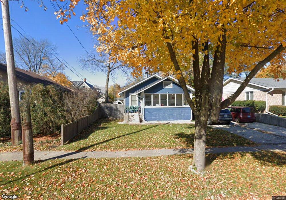
212 Dole Ave Crystal Lake, IL 60014
Estimated Value: $178,000 - $252,000
2
Beds
1
Bath
672
Sq Ft
$316/Sq Ft
Est. Value
About This Home
This home is located at 212 Dole Ave, Crystal Lake, IL 60014 and is currently estimated at $212,094, approximately $315 per square foot. 212 Dole Ave is a home located in McHenry County with nearby schools including South Elementary School, Richard F Bernotas Middle School, and Crystal Lake Central High School.
Ownership History
Date
Name
Owned For
Owner Type
Purchase Details
Closed on
Jul 27, 2005
Sold by
Knospe Barbara J
Bought by
Kachiroubas Nicholas
Current Estimated Value
Home Financials for this Owner
Home Financials are based on the most recent Mortgage that was taken out on this home.
Original Mortgage
$111,120
Outstanding Balance
$58,673
Interest Rate
5.74%
Mortgage Type
Fannie Mae Freddie Mac
Estimated Equity
$153,421
Create a Home Valuation Report for This Property
The Home Valuation Report is an in-depth analysis detailing your home's value as well as a comparison with similar homes in the area
Home Values in the Area
Average Home Value in this Area
Purchase History
| Date | Buyer | Sale Price | Title Company |
|---|---|---|---|
| Kachiroubas Nicholas | $138,900 | Ticor Title Insurance Compan |
Source: Public Records
Mortgage History
| Date | Status | Borrower | Loan Amount |
|---|---|---|---|
| Open | Kachiroubas Nicholas | $111,120 |
Source: Public Records
Tax History Compared to Growth
Tax History
| Year | Tax Paid | Tax Assessment Tax Assessment Total Assessment is a certain percentage of the fair market value that is determined by local assessors to be the total taxable value of land and additions on the property. | Land | Improvement |
|---|---|---|---|---|
| 2024 | $3,819 | $53,110 | $8,142 | $44,968 |
| 2023 | $3,637 | $47,500 | $7,282 | $40,218 |
| 2022 | $2,565 | $33,074 | $7,675 | $25,399 |
| 2021 | $2,396 | $30,812 | $7,150 | $23,662 |
| 2020 | $2,321 | $29,721 | $6,897 | $22,824 |
| 2019 | $2,241 | $28,446 | $6,601 | $21,845 |
| 2018 | $2,179 | $27,398 | $7,296 | $20,102 |
| 2017 | $2,138 | $25,810 | $6,873 | $18,937 |
| 2016 | $2,053 | $24,207 | $6,446 | $17,761 |
| 2013 | -- | $22,582 | $6,014 | $16,568 |
Source: Public Records
Map
Nearby Homes
- 193 Lake Ct
- 191 S Virginia St
- 130 S Virginia St
- 615 Lake Ave
- 421 Lake Ave
- 277 Church St
- 691 Lake Ave
- 221 Uteg St Unit G
- 132 S Mchenry Ave
- 310 2nd Ct
- 501 Coventry Ln Unit 18
- 511 Coventry Ln Unit 2
- 511 Coventry Ln Unit 3
- 100 Pine Ct
- 600 Sussex Ln
- 407 Keith Ave
- 90 W Franklin Ave
- 200 W Woodstock St
- 84 S Caroline St
- 348 Wiltshire Ln