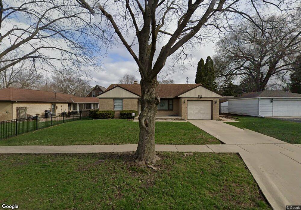
212 Dunning Ave West Dundee, IL 60118
Estimated Value: $291,420 - $331,000
About This Home
This home is located at 212 Dunning Ave, West Dundee, IL 60118 and is currently estimated at $312,105, approximately $264 per square foot. 212 Dunning Ave is a home located in Kane County with nearby schools including Dundee Highlands Elementary School, Dundee Middle School, and Dundee-Crown High School.
Ownership History
We collect this data history from publicly available records. To have your information removed, we recommend requesting removal directly through your county’s website.
Purchase Details
Purchase Details
Purchase Details
Home Values in the Area
Average Home Value in this Area
Purchase History
We collect this data history from publicly available records. To have your information removed, we recommend requesting removal directly through your county’s website.
| Date | Buyer | Sale Price | Title Company |
|---|---|---|---|
| -- | None Listed On Document | ||
| -- | None Listed On Document | ||
| -- | None Available |
Tax History
We collect this data history from publicly available records. To have your information removed, we recommend requesting removal directly through your county’s website.
| Year | Tax Paid | Tax Assessment Tax Assessment Total Assessment is a certain percentage of the fair market value that is determined by local assessors to be the total taxable value of land and additions on the property. | Land | Improvement |
|---|---|---|---|---|
| 2024 | $6,331 | $93,669 | $21,919 | $71,750 |
| 2023 | $5,843 | $84,280 | $19,722 | $64,558 |
| 2022 | $5,572 | $74,252 | $19,722 | $54,530 |
| 2021 | $5,341 | $70,108 | $18,621 | $51,487 |
| 2020 | $5,227 | $68,531 | $18,202 | $50,329 |
| 2019 | $5,025 | $65,057 | $17,279 | $47,778 |
| 2018 | $5,135 | $64,840 | $16,937 | $47,903 |
| 2017 | $4,844 | $60,655 | $15,844 | $44,811 |
| 2016 | $4,399 | $53,729 | $15,341 | $38,388 |
| 2015 | -- | $44,205 | $17,713 | $26,492 |
| 2014 | -- | $42,984 | $17,224 | $25,760 |
| 2013 | -- | $44,300 | $17,751 | $26,549 |
Map
- 610 S 2nd St
- 15N325 Campflint Dr
- 409 S 3rd St
- 305 Oregon Ave
- 206 Oregon Ave
- 306 Johnson St
- 844 Village Quarter Rd Unit B5
- 318 Washington St
- 435 Cavalier Ct Unit 205C
- 1042 Chateau Bluff Ln
- 220 N 5th St
- 628 King Ct Unit 292
- 516 King Ave Unit 244
- 206 North St
- 705 Timothy Ct Unit 705
- 519 Wendt Ave
- 547 Reese Ave
- 2 Summit St
- 410 Barrington Ave
- 408 Barrington Ave
Ask me questions while you tour the home.