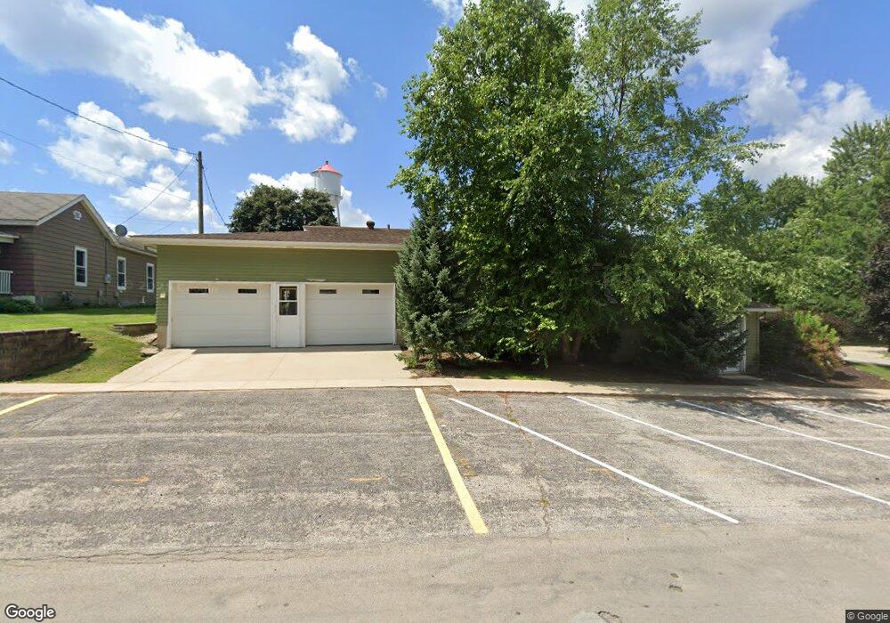
212 E Elm St West Union, IA 52175
Estimated Value: $165,000 - $373,000
4
Beds
6
Baths
2,238
Sq Ft
$134/Sq Ft
Est. Value
About This Home
This home is located at 212 E Elm St, West Union, IA 52175 and is currently estimated at $299,326, approximately $133 per square foot. 212 E Elm St is a home located in Fayette County with nearby schools including North Fayette Valley Middle School and North Fayette Valley H. School.
Ownership History
Date
Name
Owned For
Owner Type
Purchase Details
Closed on
Jul 30, 2010
Sold by
Leahy Donald W and Leahy Marsha K
Bought by
Rogers Steven K and Rogers Pamela J
Current Estimated Value
Purchase Details
Closed on
Nov 2, 2007
Sold by
Marrs Colleen R
Bought by
Leahy Donald W and Leahy Marsha K
Home Financials for this Owner
Home Financials are based on the most recent Mortgage that was taken out on this home.
Original Mortgage
$10,000
Interest Rate
6.45%
Mortgage Type
Commercial
Create a Home Valuation Report for This Property
The Home Valuation Report is an in-depth analysis detailing your home's value as well as a comparison with similar homes in the area
Purchase History
| Date | Buyer | Sale Price | Title Company |
|---|---|---|---|
| Rogers Steven K | $507,000 | None Available | |
| Leahy Donald W | $30,000 | None Available |
Source: Public Records
Mortgage History
| Date | Status | Borrower | Loan Amount |
|---|---|---|---|
| Closed | Leahy Donald W | $10,000 | |
| Closed | Rogers Steven K | $0 |
Source: Public Records
Tax History
| Year | Tax Paid | Tax Assessment Tax Assessment Total Assessment is a certain percentage of the fair market value that is determined by local assessors to be the total taxable value of land and additions on the property. | Land | Improvement |
|---|---|---|---|---|
| 2025 | $8,002 | $392,030 | $23,800 | $368,230 |
| 2024 | $8,022 | $361,110 | $23,800 | $337,310 |
| 2023 | $7,040 | $361,110 | $23,800 | $337,310 |
| 2022 | $6,060 | $310,640 | $20,240 | $290,400 |
| 2021 | $6,060 | $357,710 | $23,800 | $333,910 |
| 2020 | $7,720 | $357,710 | $23,800 | $333,910 |
| 2019 | $5,424 | $254,584 | $0 | $0 |
| 2018 | $5,476 | $254,590 | $0 | $0 |
| 2017 | $5,712 | $152,650 | $0 | $0 |
| 2016 | $5,744 | $234,740 | $0 | $0 |
| 2015 | $5,570 | $0 | $0 | $0 |
| 2014 | $7,466 | $0 | $0 | $0 |
Source: Public Records
Map
Nearby Homes
- 114 S Pine St
- 205 E Main St
- 319 N Pine St
- 502 E Plum St
- 117 Cedar St
- 119 N Wells St
- 10728 E Main St
- 306 W Plum St
- 310 W Plum St
- 110 Lilac Ave
- 701 Northwestern Ave
- 117 W Franklin St
- 302 Hall St
- TBD Lots 5&6 St
- 10290 Echo Valley Lot 2 Rd
- 9413 208th St
- 0 Unit NBR20260667
- 7336 Great River Rd
- 28882 Pine St
- 12546 Main St
- 106 S Pine St
- 112 & 110 S Pine St
- 103 S Walnut St
- 105 S Walnut St
- 101A N Pine St
- 110 S Pine St
- 103 S Pine St
- 215 E Elm St
- 109 S Walnut St
- 112 S Pine St
- 112 S Pine St Unit 110 S Pine Street
- 107 S Pine St
- 115 S Walnut St
- 103 N Pine St
- 111 S Pine St
- 100 N Walnut St
- 104 N Walnut St
- 303 E Elm St
- 105 N Pine St
- 108 S Walnut St
Your Personal Tour Guide
Ask me questions while you tour the home.