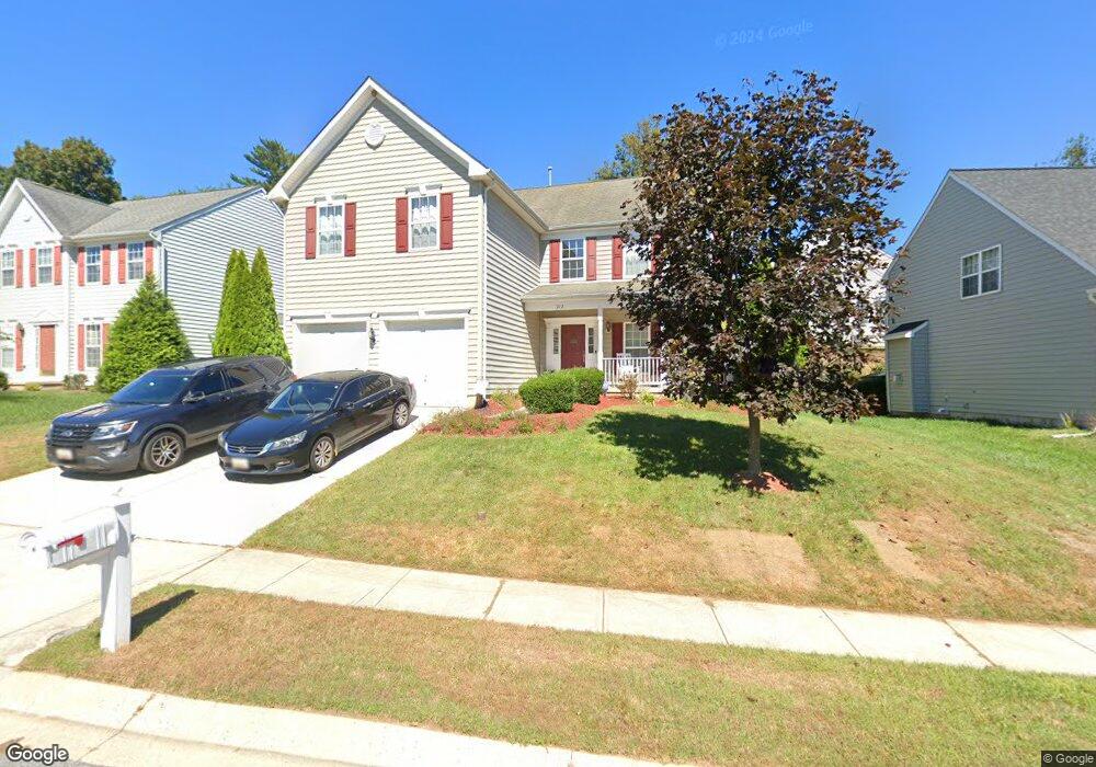
212 Earhart Ct Owings Mills, MD 21117
Estimated Value: $594,713 - $661,000
4
Beds
3
Baths
2,992
Sq Ft
$210/Sq Ft
Est. Value
About This Home
This home is located at 212 Earhart Ct, Owings Mills, MD 21117 and is currently estimated at $629,178, approximately $210 per square foot. 212 Earhart Ct is a home located in Baltimore County with nearby schools including Owings Mills Elementary School, Deer Park Middle Magnet School, and Owings Mills High School.
Ownership History
Date
Name
Owned For
Owner Type
Purchase Details
Closed on
Apr 3, 2006
Sold by
Foster Communities Of Maryl& Inc
Bought by
Mustipher Sam and Mustipher Patricia
Current Estimated Value
Home Financials for this Owner
Home Financials are based on the most recent Mortgage that was taken out on this home.
Original Mortgage
$87,360
Outstanding Balance
$68,304
Interest Rate
6.31%
Mortgage Type
Stand Alone Second
Estimated Equity
$560,874
Purchase Details
Closed on
Jan 20, 2006
Sold by
Foster Communities Of Maryl& Inc
Bought by
Mustipher Sam and Mustipher Patricia
Home Financials for this Owner
Home Financials are based on the most recent Mortgage that was taken out on this home.
Original Mortgage
$349,440
Interest Rate
5.5%
Mortgage Type
Purchase Money Mortgage
Create a Home Valuation Report for This Property
The Home Valuation Report is an in-depth analysis detailing your home's value as well as a comparison with similar homes in the area
Home Values in the Area
Average Home Value in this Area
Purchase History
| Date | Buyer | Sale Price | Title Company |
|---|---|---|---|
| Mustipher Sam | $436,800 | -- | |
| Mustipher Sam | $436,800 | -- | |
| Mustipher Sam | $436,800 | -- | |
| Mustipher Sam | $436,800 | -- |
Source: Public Records
Mortgage History
| Date | Status | Borrower | Loan Amount |
|---|---|---|---|
| Open | Mustipher Sam | $87,360 | |
| Open | Mustipher Sam | $349,440 | |
| Closed | Mustipher Sam | $87,360 | |
| Previous Owner | Mustipher Sam | $349,440 | |
| Previous Owner | Mustipher Sam | $87,360 |
Source: Public Records
Tax History Compared to Growth
Tax History
| Year | Tax Paid | Tax Assessment Tax Assessment Total Assessment is a certain percentage of the fair market value that is determined by local assessors to be the total taxable value of land and additions on the property. | Land | Improvement |
|---|---|---|---|---|
| 2025 | $5,852 | $434,300 | -- | -- |
| 2024 | $5,852 | $402,500 | $84,700 | $317,800 |
| 2023 | $2,732 | $391,967 | $0 | $0 |
| 2022 | $5,299 | $381,433 | $0 | $0 |
| 2021 | $6,494 | $370,900 | $84,700 | $286,200 |
| 2020 | $6,494 | $363,933 | $0 | $0 |
| 2019 | $6,466 | $356,967 | $0 | $0 |
| 2018 | $5,480 | $350,000 | $84,700 | $265,300 |
| 2017 | $5,181 | $347,100 | $0 | $0 |
| 2016 | $5,353 | $344,200 | $0 | $0 |
| 2015 | $5,353 | $341,300 | $0 | $0 |
| 2014 | $5,353 | $341,300 | $0 | $0 |
Source: Public Records
Map
Nearby Homes
- 921 Academy Ave
- 923 Academy Ave
- 21 Samantha Ct
- 25 Samantha Ct
- 37 Blue Sky Dr
- 805 Joshua Tree Ct
- 19 Pleasant Hill Rd
- 32 Pleasant Hill Rd
- 923A Academy Ave
- 305 Wyndham Cir Unit 305K
- 610 Academy Ave
- 202 Embleton Rd
- 604 Academy Ave
- 60 S Ritters Ln
- 156 S Ritters Ln
- 39 Legacy Dr
- 57 Chins Ct
- 16 Garrison Ridge Ct
- 331 Bryanstone Rd
- 301 Kearney Dr
- 210 Earhart Ct
- 214 Earhart Ct
- 228 Earhart Ct
- 208 Earhart Ct
- 211 Earhart Ct
- 206 Earhart Ct
- 209 Earhart Ct
- 230 Earhart Ct
- 207 Earhart Ct
- 204 Earhart Ct
- 219 Earhart Ct
- 221 Earhart Ct
- 223 Earhart Ct
- 14 Morrisway Rd
- 22 Morrisway Rd
- 20 Morrisway Rd
- 225 Earhart Ct
- 10 Morrisway Rd
- 202 Earhart Ct
- 201 Earhart Ct