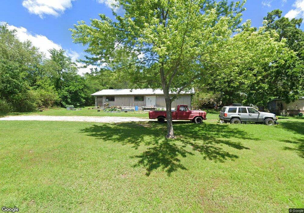
212 Grove St Unit END Marshall, AR 72650
Estimated Value: $147,838 - $205,000
--
Bed
2
Baths
2,000
Sq Ft
$86/Sq Ft
Est. Value
About This Home
This home is located at 212 Grove St Unit END, Marshall, AR 72650 and is currently estimated at $171,960, approximately $85 per square foot. 212 Grove St Unit END is a home located in Searcy County with nearby schools including Marshall Elementary School, Leslie Elementary School, and Marshall High School.
Ownership History
Date
Name
Owned For
Owner Type
Purchase Details
Closed on
Apr 15, 2021
Sold by
Horton Edward and Horton Clarissa
Bought by
Milholland Eddie D and Milholland Sara M
Current Estimated Value
Home Financials for this Owner
Home Financials are based on the most recent Mortgage that was taken out on this home.
Original Mortgage
$80,000
Outstanding Balance
$72,230
Interest Rate
3%
Mortgage Type
Future Advance Clause Open End Mortgage
Estimated Equity
$99,730
Purchase Details
Closed on
Aug 13, 1998
Bought by
Feemster Joseph M
Purchase Details
Closed on
Mar 1, 1995
Bought by
Feemster Joseph M and Karla France
Purchase Details
Closed on
Mar 1, 1985
Bought by
Wilson
Create a Home Valuation Report for This Property
The Home Valuation Report is an in-depth analysis detailing your home's value as well as a comparison with similar homes in the area
Home Values in the Area
Average Home Value in this Area
Purchase History
| Date | Buyer | Sale Price | Title Company |
|---|---|---|---|
| Milholland Eddie D | $110,000 | First National Title Company | |
| Feemster Joseph M | -- | -- | |
| Feemster Joseph M | $70,000 | -- | |
| Wilson | $45,000 | -- |
Source: Public Records
Mortgage History
| Date | Status | Borrower | Loan Amount |
|---|---|---|---|
| Open | Milholland Eddie D | $80,000 | |
| Previous Owner | Wilson | $74,360 |
Source: Public Records
Tax History Compared to Growth
Tax History
| Year | Tax Paid | Tax Assessment Tax Assessment Total Assessment is a certain percentage of the fair market value that is determined by local assessors to be the total taxable value of land and additions on the property. | Land | Improvement |
|---|---|---|---|---|
| 2024 | $1,246 | $23,710 | $1,550 | $22,160 |
| 2023 | $1,246 | $23,710 | $1,550 | $22,160 |
| 2022 | $1,246 | $23,710 | $1,550 | $22,160 |
| 2021 | $962 | $18,490 | $1,550 | $16,940 |
| 2020 | $587 | $18,480 | $1,550 | $16,930 |
| 2019 | $605 | $18,480 | $1,550 | $16,930 |
| 2018 | $605 | $18,480 | $1,550 | $16,930 |
| 2017 | $545 | $16,370 | $1,550 | $14,820 |
| 2016 | $484 | $16,370 | $1,550 | $14,820 |
| 2015 | $484 | $16,370 | $1,550 | $14,820 |
| 2014 | $834 | $16,370 | $1,550 | $14,820 |
Source: Public Records
Map
Nearby Homes
- 211 W Campus St
- 301 W Campus St
- 303 W Campus St
- 111 S Spring St
- 117 S Spring St
- 00 Arkansas 27
- 9227 Arkansas 27
- 9505 Arkansas 27
- 8883 Arkansas 27
- 100 E College St
- 705 S 27 Hwy
- 300 Range St
- 203 Range St
- 400 Canaan Rd
- 705 E Main St
- 00 S 65 (W Range St Easement Access) Hwy
- 401 E Main St
- 102 Pecan St
- 100 Pecan St
- 104 Boyd Cir