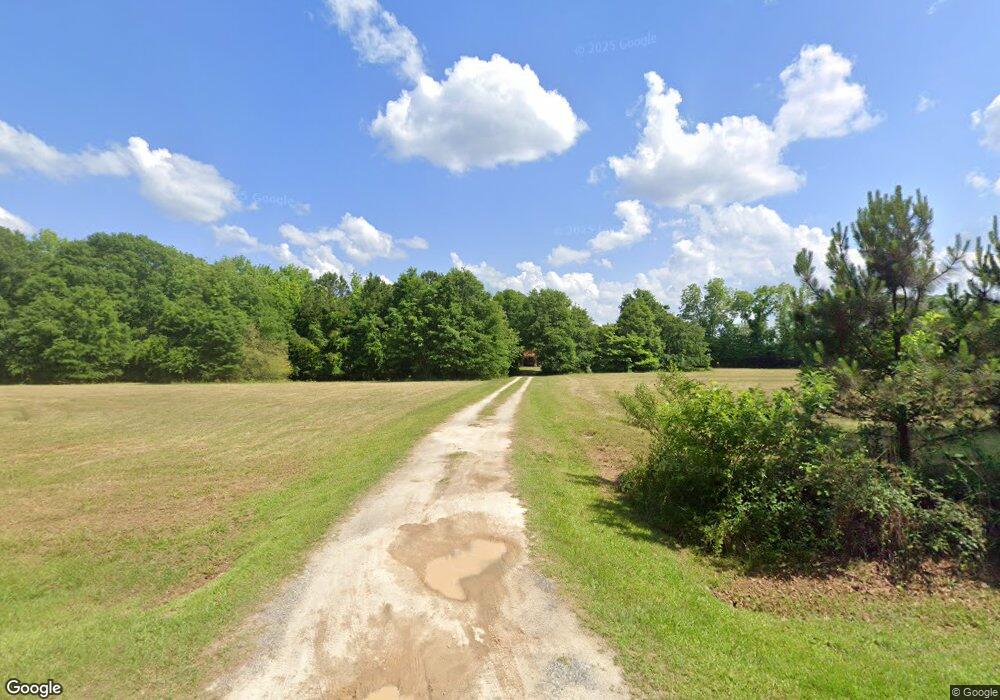
212 Halls Bridge Rd Jackson, GA 30233
Estimated Value: $227,797 - $275,000
--
Bed
2
Baths
1,446
Sq Ft
$176/Sq Ft
Est. Value
About This Home
This home is located at 212 Halls Bridge Rd, Jackson, GA 30233 and is currently estimated at $255,199, approximately $176 per square foot. 212 Halls Bridge Rd is a home located in Butts County with nearby schools including Jackson High School.
Ownership History
Date
Name
Owned For
Owner Type
Purchase Details
Closed on
Mar 21, 2022
Sold by
Mangham Ricky Alan
Bought by
Dean Ronald Chadwick
Current Estimated Value
Home Financials for this Owner
Home Financials are based on the most recent Mortgage that was taken out on this home.
Original Mortgage
$207,070
Outstanding Balance
$192,962
Interest Rate
3.69%
Mortgage Type
New Conventional
Estimated Equity
$62,237
Purchase Details
Closed on
Jan 22, 2019
Sold by
Mangham Ricky Alan
Bought by
Mangham Mangham Dennis Glenn Dennis Glenn and Mangham Shroder Cindy
Create a Home Valuation Report for This Property
The Home Valuation Report is an in-depth analysis detailing your home's value as well as a comparison with similar homes in the area
Home Values in the Area
Average Home Value in this Area
Purchase History
| Date | Buyer | Sale Price | Title Company |
|---|---|---|---|
| Dean Ronald Chadwick | $205,000 | -- | |
| Mangham Mangham Dennis Glenn Dennis Glenn | -- | -- |
Source: Public Records
Mortgage History
| Date | Status | Borrower | Loan Amount |
|---|---|---|---|
| Open | Dean Ronald Chadwick | $207,070 |
Source: Public Records
Tax History Compared to Growth
Tax History
| Year | Tax Paid | Tax Assessment Tax Assessment Total Assessment is a certain percentage of the fair market value that is determined by local assessors to be the total taxable value of land and additions on the property. | Land | Improvement |
|---|---|---|---|---|
| 2024 | $2,019 | $87,780 | $24,800 | $62,980 |
| 2023 | $2,070 | $69,978 | $17,360 | $52,618 |
| 2022 | $1,663 | $61,286 | $17,360 | $43,926 |
| 2021 | $1,606 | $55,277 | $17,360 | $37,917 |
| 2020 | $1,554 | $51,520 | $17,360 | $34,160 |
| 2019 | $1,499 | $51,404 | $17,360 | $34,044 |
| 2018 | $1,268 | $41,661 | $12,810 | $28,851 |
| 2017 | $1,238 | $39,976 | $12,810 | $27,166 |
| 2016 | $944 | $39,976 | $12,810 | $27,166 |
| 2015 | $926 | $39,976 | $12,810 | $27,166 |
| 2014 | $929 | $38,186 | $12,810 | $25,376 |
Source: Public Records
Map
Nearby Homes
- 131 Taylor Rd
- 119 Taylor Rd
- 285 Taylor Rd
- 104 Creekside Ct
- 143 Valley Hills Rd
- 1263 Highway 16 E
- 110 Panther Ln
- 14 Weaver St
- 0 Macon Ave Unit 179549
- 0 Macon Ave Unit 10514173
- 1375 Highway 42 S
- 0 Morningside Ct Unit 10557547
- 347 Ww Carr Ave
- 1065 Nelson St
- 147 Princess Ct
- 375 Saint Andrews Dr
- 965 Nelson St
- 244 Queens Ct
- 908 Nelson St
- 321 Kirts Ridge
- 186 Halls Bridge Rd
- 112 Loblolly Ln
- 108 Loblolly Ln
- 120 Longleaf Dr
- 0 Loblolly Ln Unit LOT 6 7013332
- 0 Loblolly Ln Unit LOT 6 7126768
- 0 Loblolly Ln Unit 7468336
- 105 Loblolly Ln
- 104 Loblolly Ln
- 101 Loblolly Ln
- LOT 6 Loblolly Ln
- 124 Longleaf Dr
- 104 Longleaf Dr
- 128 Longleaf Dr
- 108 Longleaf Dr
- 115 Longleaf Dr
- 179 Halls Bridge Rd
- 100 Longleaf Dr
- LOT 11 Longleaf Dr
- 257 Halls Bridge Rd
