Estimated Value: $276,000 - $305,000
3
Beds
2
Baths
1,912
Sq Ft
$151/Sq Ft
Est. Value
About This Home
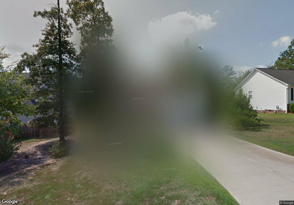
This home is located at 212 High Bluff Ln, Irmo, SC 29063 and is currently estimated at $288,307, approximately $150 per square foot. 212 High Bluff Ln is a home located in Richland County with nearby schools including Oak Pointe Elementary School, Dutch Fork Middle School, and Dutch Fork High School.
Ownership History
Date
Name
Owned For
Owner Type
Purchase Details
Closed on
Oct 31, 2001
Sold by
C & C Builders Of Columbia Inc
Bought by
Cordovano Janet
Current Estimated Value
Home Financials for this Owner
Home Financials are based on the most recent Mortgage that was taken out on this home.
Original Mortgage
$134,460
Outstanding Balance
$52,631
Interest Rate
6.74%
Estimated Equity
$235,676
Purchase Details
Closed on
Aug 20, 2001
Sold by
Seaboard Flour Corporation
Bought by
C & C Builders Of Columbia Inc
Create a Home Valuation Report for This Property
The Home Valuation Report is an in-depth analysis detailing your home's value as well as a comparison with similar homes in the area
Home Values in the Area
Average Home Value in this Area
Purchase History
| Date | Buyer | Sale Price | Title Company |
|---|---|---|---|
| Cordovano Janet | $141,540 | -- | |
| C & C Builders Of Columbia Inc | $23,800 | -- |
Source: Public Records
Mortgage History
| Date | Status | Borrower | Loan Amount |
|---|---|---|---|
| Open | Cordovano Janet | $134,460 |
Source: Public Records
Tax History
| Year | Tax Paid | Tax Assessment Tax Assessment Total Assessment is a certain percentage of the fair market value that is determined by local assessors to be the total taxable value of land and additions on the property. | Land | Improvement |
|---|---|---|---|---|
| 2024 | $1,400 | $189,400 | $0 | $0 |
| 2023 | $1,346 | $6,588 | $0 | $0 |
| 2022 | $1,470 | $164,700 | $23,900 | $140,800 |
| 2021 | $1,476 | $6,590 | $0 | $0 |
| 2020 | $1,540 | $6,590 | $0 | $0 |
| 2019 | $1,518 | $6,590 | $0 | $0 |
| 2018 | $1,202 | $5,730 | $0 | $0 |
| 2017 | $1,173 | $5,730 | $0 | $0 |
| 2016 | $1,168 | $5,730 | $0 | $0 |
| 2015 | $1,173 | $5,730 | $0 | $0 |
| 2014 | $1,171 | $143,200 | $0 | $0 |
| 2013 | -- | $5,730 | $0 | $0 |
Source: Public Records
Map
Nearby Homes
- 10 Saints Creek Place
- 4 Saints Creek Place
- 202 Saints Creek Ln
- 208 Saints Creek Ln
- 204 Saints Creek Ln
- 409 Maypop Ln
- 121 Black Creek Ln
- 424 Maypop Ln
- 1175 Old Brickyard Rd
- 530 Crawfish Ln
- 0 TBD PARCEL B Eleazer Rd
- 574 Crawfish Ln
- 1141 Old Brickyard Rd
- 207 Hope Creek Dr
- 15 Falbrook Ct
- 1064 Kingston Village Loop
- 247 Boseman Rd
- 20 Persimmon Wood Ct
- 18 Persimmon Wood Ct
- 265 Boseman Rd
- 210 High Bluff Ln
- 300 High Bluff Ln
- 208 High Bluff Ln
- 302 High Bluff Ln
- 100 Johns Hill Ln
- 101 Johns Hill Ln
- 206 High Bluff Ln
- 11 Saints Creek Ct
- 9 Saints Creek Ct
- 101 Round Hill Ct
- 304 High Bluff Ln
- 103 Johns Hill Ln
- 205 High Bluff Ln
- 7 Saints Creek Ct
- 204 High Bluff Ln
- 103 Round Hill Ct
- 2 Johns Hill Ct
- 4 Johns Hill Ct
- 306 High Bluff Ln
- 203 High Bluff Ln
Your Personal Tour Guide
Ask me questions while you tour the home.