Estimated Value: $180,000 - $185,000
2
Beds
2
Baths
1,092
Sq Ft
$167/Sq Ft
Est. Value
About This Home
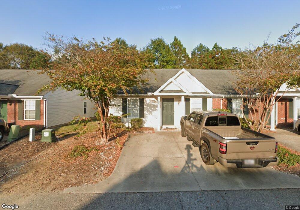
This home is located at 212 High Point Way, Evans, GA 30809 and is currently estimated at $182,685, approximately $167 per square foot. 212 High Point Way is a home located in Columbia County with nearby schools including Riverside Elementary School, Riverside Middle School, and Greenbrier High School.
Ownership History
Date
Name
Owned For
Owner Type
Purchase Details
Closed on
Nov 29, 2005
Sold by
Suntrust Bank
Bought by
Randolph Victoria Marie
Current Estimated Value
Home Financials for this Owner
Home Financials are based on the most recent Mortgage that was taken out on this home.
Original Mortgage
$75,905
Outstanding Balance
$42,071
Interest Rate
6.23%
Mortgage Type
New Conventional
Estimated Equity
$140,614
Purchase Details
Closed on
Oct 4, 2005
Sold by
Newton Robert J
Bought by
Suntrust Bank
Home Financials for this Owner
Home Financials are based on the most recent Mortgage that was taken out on this home.
Original Mortgage
$75,905
Outstanding Balance
$42,071
Interest Rate
6.23%
Mortgage Type
New Conventional
Estimated Equity
$140,614
Purchase Details
Closed on
Jul 15, 2004
Sold by
Gb Development Llc
Bought by
Newton Robert J
Home Financials for this Owner
Home Financials are based on the most recent Mortgage that was taken out on this home.
Original Mortgage
$77,503
Interest Rate
6.25%
Mortgage Type
Purchase Money Mortgage
Create a Home Valuation Report for This Property
The Home Valuation Report is an in-depth analysis detailing your home's value as well as a comparison with similar homes in the area
Home Values in the Area
Average Home Value in this Area
Purchase History
| Date | Buyer | Sale Price | Title Company |
|---|---|---|---|
| Randolph Victoria Marie | $79,900 | -- | |
| Suntrust Bank | -- | -- | |
| Newton Robert J | $79,900 | -- |
Source: Public Records
Mortgage History
| Date | Status | Borrower | Loan Amount |
|---|---|---|---|
| Open | Randolph Victoria Marie | $75,905 | |
| Previous Owner | Newton Robert J | $77,503 | |
| Closed | Newton Robert J | $2,397 |
Source: Public Records
Tax History
| Year | Tax Paid | Tax Assessment Tax Assessment Total Assessment is a certain percentage of the fair market value that is determined by local assessors to be the total taxable value of land and additions on the property. | Land | Improvement |
|---|---|---|---|---|
| 2025 | $1,800 | $75,536 | $14,104 | $61,432 |
| 2024 | $1,818 | $72,782 | $13,404 | $59,378 |
| 2023 | $1,818 | $63,246 | $12,604 | $50,642 |
| 2022 | $1,413 | $54,420 | $10,504 | $43,916 |
| 2021 | $1,236 | $45,488 | $9,004 | $36,484 |
| 2020 | $1,099 | $39,621 | $8,004 | $31,617 |
| 2019 | $1,052 | $37,917 | $7,504 | $30,413 |
| 2018 | $1,030 | $37,007 | $7,204 | $29,803 |
| 2017 | $983 | $35,198 | $7,004 | $28,194 |
| 2016 | $908 | $33,721 | $6,680 | $27,041 |
| 2015 | $867 | $32,144 | $6,380 | $25,764 |
| 2014 | $907 | $33,185 | $6,680 | $26,505 |
Source: Public Records
Map
Nearby Homes
- 231 High Point Way
- 232 High Point Way
- 4832 Washington Rd
- 915 Kate Dr
- 916 Kate Dr
- 1 Harding Ct
- 4793 Silver Lake Dr
- 1459 Knob Hill Cir
- 2034 Summerton Cir
- 996 Woody Hill Cir
- 230 Callahan Dr
- 2967 William Few Pkwy
- 1134 Blackfoot Dr
- 503 Avrett Ct
- 5107 Windmill Place
- 1005 Mitchell Ln
- 510 Avrett Ct
- 1037 Spotswood Cir
- 1610 Jamestown Ave
- 5123 Windmill Place
- 214 High Point Way
- 210 High Point Way
- 216 High Point Way
- 208 High Point Way
- 218 High Point Way
- 206 High Point Way
- 213 High Point Way
- 211 High Point Way
- 215 High Point Way
- 204 High Point Way
- 220 High Point Way
- 209 High Point Way
- 217 High Point Way
- 4906 Washington Rd
- 207 High Point Way
- 219 High Point Way
- 222 High Point Way
- 205 High Point Way
- 203 High Point Way
- 221 High Point Way
Your Personal Tour Guide
Ask me questions while you tour the home.