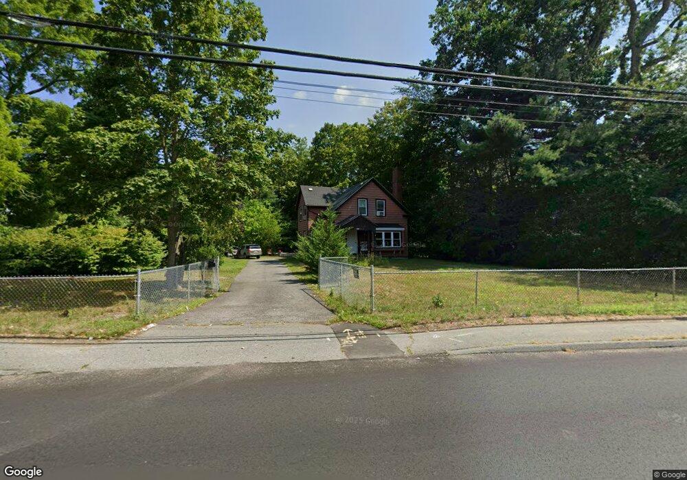
212 High St Taunton, MA 02780
City Center NeighborhoodEstimated Value: $408,000 - $533,000
4
Beds
1
Bath
1,470
Sq Ft
$313/Sq Ft
Est. Value
About This Home
This home is located at 212 High St, Taunton, MA 02780 and is currently estimated at $460,087, approximately $312 per square foot. 212 High St is a home located in Bristol County with nearby schools including Elizabeth Pole School, Taunton High School, and Joseph H. Martin.
Ownership History
Date
Name
Owned For
Owner Type
Purchase Details
Closed on
Apr 4, 2019
Sold by
Fnma
Bought by
Potvin Timothy and Potvin Dennis J
Current Estimated Value
Home Financials for this Owner
Home Financials are based on the most recent Mortgage that was taken out on this home.
Original Mortgage
$223,978
Outstanding Balance
$196,916
Interest Rate
4.3%
Mortgage Type
FHA
Estimated Equity
$263,171
Purchase Details
Closed on
Jul 14, 2017
Sold by
Barros Barbara M
Bought by
Federal National Mortgage Association
Purchase Details
Closed on
Apr 7, 2016
Sold by
Barros Barbara M Est
Bought by
Jones Edwin
Purchase Details
Closed on
May 3, 1984
Bought by
Jones Edwin
Create a Home Valuation Report for This Property
The Home Valuation Report is an in-depth analysis detailing your home's value as well as a comparison with similar homes in the area
Home Values in the Area
Average Home Value in this Area
Purchase History
| Date | Buyer | Sale Price | Title Company |
|---|---|---|---|
| Potvin Timothy | $195,000 | -- | |
| Federal National Mortgage Association | $230,000 | -- | |
| Jones Edwin | -- | -- | |
| Jones Edwin | -- | -- |
Source: Public Records
Mortgage History
| Date | Status | Borrower | Loan Amount |
|---|---|---|---|
| Open | Potvin Timothy | $223,978 | |
| Previous Owner | Jones Edwin | $114,750 | |
| Previous Owner | Jones Edwin | $97,000 | |
| Previous Owner | Jones Edwin | $32,316 |
Source: Public Records
Tax History Compared to Growth
Tax History
| Year | Tax Paid | Tax Assessment Tax Assessment Total Assessment is a certain percentage of the fair market value that is determined by local assessors to be the total taxable value of land and additions on the property. | Land | Improvement |
|---|---|---|---|---|
| 2025 | $4,430 | $404,900 | $129,900 | $275,000 |
| 2024 | $4,038 | $360,900 | $129,900 | $231,000 |
| 2023 | $3,992 | $331,300 | $129,900 | $201,400 |
| 2022 | $3,740 | $283,800 | $103,500 | $180,300 |
| 2021 | $3,461 | $243,700 | $84,500 | $159,200 |
| 2020 | $3,333 | $224,300 | $84,500 | $139,800 |
| 2019 | $3,365 | $213,500 | $94,800 | $118,700 |
| 2018 | $3,287 | $209,100 | $94,600 | $114,500 |
| 2017 | $2,977 | $189,500 | $90,300 | $99,200 |
| 2016 | $2,960 | $188,800 | $92,400 | $96,400 |
| 2015 | $2,942 | $196,000 | $94,400 | $101,600 |
| 2014 | $2,885 | $197,500 | $94,400 | $103,100 |
Source: Public Records
Map
Nearby Homes
- 215 High St Unit 21
- 215 High St Unit 18
- 6 W Summer St
- 99 Summer St
- 0 M64 L39 Knapp St
- 0, M64 L50 Knapp St
- 0, M64 L51 Knapp St
- 0, M64 L49 Knapp St
- 30 Harrison St
- 29 E Walnut St
- 12 Chestnut St Unit A
- 46 Harrison St Unit 5
- 46 Harrison St Unit 4
- 46 Harrison St Unit 2
- 38 Trescott St
- 2 Elmhurst St
- 4 Parkin Ct
- 14 Presbrey Ave
- 25 Fayette Place
- 5 Dean Ave
- 216 High St
- 206 High St
- 218 High St
- 209 High St
- 5 Riverside Ave
- 207 High St
- 215 High St
- 215 High St Unit 20
- 215 High St Unit 14
- 215 High St Unit 13
- 215 High St Unit 11
- 215 High St Unit 12
- 215 High St Unit 8
- 215 High St Unit 9
- 215 High St Unit 5
- 215 High St Unit 7
- 215 High St Unit 6
- 215 High St Unit 4
- 215 High St Unit 3
- 215 High St Unit 2