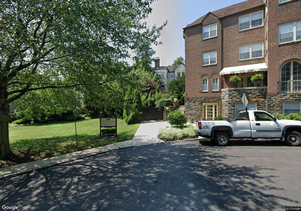
212 Idris Rd Unit D1 Merion Station, PA 19066
Estimated Value: $401,361 - $525,000
2
Beds
2
Baths
1,544
Sq Ft
$296/Sq Ft
Est. Value
About This Home
This home is located at 212 Idris Rd Unit D1, Merion Station, PA 19066 and is currently estimated at $456,340, approximately $295 per square foot. 212 Idris Rd Unit D1 is a home located in Montgomery County with nearby schools including Merion Elementary School, Bala-Cynwyd Middle School, and Lower Merion High School.
Ownership History
Date
Name
Owned For
Owner Type
Purchase Details
Closed on
May 24, 2010
Sold by
Idris 212 Lp
Bought by
Fine Philip and Fine Barbara L
Current Estimated Value
Home Financials for this Owner
Home Financials are based on the most recent Mortgage that was taken out on this home.
Original Mortgage
$288,000
Outstanding Balance
$193,601
Interest Rate
5.11%
Estimated Equity
$262,739
Create a Home Valuation Report for This Property
The Home Valuation Report is an in-depth analysis detailing your home's value as well as a comparison with similar homes in the area
Home Values in the Area
Average Home Value in this Area
Purchase History
| Date | Buyer | Sale Price | Title Company |
|---|---|---|---|
| Fine Philip | $360,000 | None Available |
Source: Public Records
Mortgage History
| Date | Status | Borrower | Loan Amount |
|---|---|---|---|
| Open | Fine Philip | $288,000 |
Source: Public Records
Tax History Compared to Growth
Tax History
| Year | Tax Paid | Tax Assessment Tax Assessment Total Assessment is a certain percentage of the fair market value that is determined by local assessors to be the total taxable value of land and additions on the property. | Land | Improvement |
|---|---|---|---|---|
| 2025 | $5,425 | $129,910 | -- | -- |
| 2024 | $5,425 | $129,910 | -- | -- |
| 2023 | $5,199 | $129,910 | $0 | $0 |
| 2022 | $5,103 | $129,910 | $0 | $0 |
| 2021 | $4,987 | $129,910 | $0 | $0 |
| 2020 | $4,865 | $129,910 | $0 | $0 |
| 2019 | $4,779 | $129,910 | $0 | $0 |
| 2018 | $4,779 | $129,910 | $0 | $0 |
| 2017 | $4,603 | $129,910 | $0 | $0 |
| 2016 | $4,552 | $129,910 | $0 | $0 |
| 2015 | $4,244 | $129,910 | $0 | $0 |
| 2014 | $4,244 | $129,910 | $0 | $0 |
Source: Public Records
Map
Nearby Homes
- 662 S Highland Ave
- 345 Valley Rd
- 404 Merwyn Rd
- 415 City Ave Unit I-2
- 415 City Ave Unit H2
- 346 Winding Way
- 209 Merion Ave
- 146 Merion Ave
- 142 Merion Ave
- 275 Brookway Rd
- 5939 Drexel Rd
- 6323 Sherwood Rd
- 251 Stoneway Ln
- 40 Old Lancaster Rd Unit 605
- 40 Old Lancaster Rd Unit 215
- 40 Old Lancaster Rd Unit 205
- 40 Old Lancaster Rd Unit 302
- 212 Upland Rd
- 5725 Drexel Rd
- 6386 Sherwood Rd
- 212 Idris Rd Unit J3
- 212 Idris Rd Unit A2
- 212 Idris Rd Unit D3
- 212 Idris Rd Unit B3
- 212 Idris Rd Unit G3
- 212 Idris Rd Unit C2
- 212 Idris Rd Unit H2
- 212 Idris Rd Unit I-2
- 212 Idris Rd Unit F2
- 212 Idris Rd Unit E-1
- 212 Idris Rd Unit E3
- 212 Idris Rd Unit I-3
- 212 Idris Rd Unit H1
- 212 Idris Rd Unit E-2
- 212 Idris Rd Unit C1
- 212 Idris Rd Unit A3
- 212 Idris Rd Unit A1
- 212 Idris Rd Unit J1
- 212 Idris Rd Unit D2
- 212 Idris Rd Unit I1