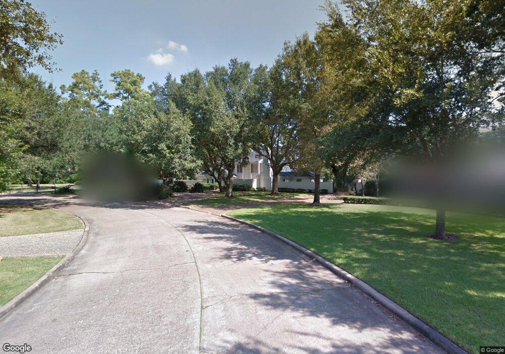
212 Kensington Ct Houston, TX 77024
Estimated Value: $2,984,000 - $3,282,000
4
Beds
4
Baths
5,511
Sq Ft
$570/Sq Ft
Est. Value
About This Home
This home is located at 212 Kensington Ct, Houston, TX 77024 and is currently estimated at $3,142,486, approximately $570 per square foot. 212 Kensington Ct is a home located in Harris County with nearby schools including Memorial Drive Elementary School, Spring Branch Middle School, and Memorial High School.
Ownership History
Date
Name
Owned For
Owner Type
Purchase Details
Closed on
Apr 1, 2002
Sold by
Young H Edwin and Young Jo Beth Landrum
Bought by
Hamouie Osama and Hamouie Perwin
Current Estimated Value
Home Financials for this Owner
Home Financials are based on the most recent Mortgage that was taken out on this home.
Original Mortgage
$300,700
Outstanding Balance
$124,387
Interest Rate
6.78%
Estimated Equity
$3,018,099
Purchase Details
Closed on
Jan 1, 1994
Sold by
Second Baptist Church Of Houston
Bought by
Young H Edwin and Young Jo Beth Landrum
Create a Home Valuation Report for This Property
The Home Valuation Report is an in-depth analysis detailing your home's value as well as a comparison with similar homes in the area
Home Values in the Area
Average Home Value in this Area
Purchase History
| Date | Buyer | Sale Price | Title Company |
|---|---|---|---|
| Hamouie Osama | -- | Stewart Title | |
| Young H Edwin | -- | -- |
Source: Public Records
Mortgage History
| Date | Status | Borrower | Loan Amount |
|---|---|---|---|
| Open | Hamouie Osama | $300,700 | |
| Closed | Hamouie Osama | $54,300 |
Source: Public Records
Tax History Compared to Growth
Tax History
| Year | Tax Paid | Tax Assessment Tax Assessment Total Assessment is a certain percentage of the fair market value that is determined by local assessors to be the total taxable value of land and additions on the property. | Land | Improvement |
|---|---|---|---|---|
| 2025 | $20,278 | $2,599,995 | $2,215,400 | $384,595 |
| 2024 | $20,278 | $2,166,276 | $1,908,000 | $258,276 |
| 2023 | $20,278 | $2,039,076 | $1,780,800 | $258,276 |
| 2022 | $38,751 | $1,858,677 | $1,568,800 | $289,877 |
| 2021 | $40,208 | $1,851,066 | $1,568,800 | $282,266 |
| 2020 | $40,230 | $1,811,937 | $1,568,800 | $243,137 |
| 2019 | $44,365 | $1,918,678 | $1,568,800 | $349,878 |
| 2018 | $8,390 | $1,920,438 | $1,568,800 | $351,638 |
| 2017 | $38,919 | $1,920,438 | $1,568,800 | $351,638 |
| 2016 | $35,381 | $1,920,438 | $1,568,800 | $351,638 |
| 2015 | $21,105 | $1,917,739 | $1,568,800 | $348,939 |
| 2014 | $21,105 | $1,713,315 | $1,272,000 | $441,315 |
Source: Public Records
Map
Nearby Homes
- 247 Piney Point Rd
- 1 Chuckanut Ln
- 11323 Iris Lee Ln
- 252 Piney Point Rd
- 220 Merrie Way Ln
- 140 Quail Creek Ct
- 7 Carlton Park Ct
- 11606 Blalock Ln
- 354 Piney Point Rd
- 148 Sugarberry Cir
- 11711 Memorial Dr Unit 570
- 11711 Memorial Dr Unit 55
- 11711 Memorial Dr Unit 21
- 11711 Memorial Dr Unit 565
- 11711 Memorial Dr Unit 695
- 11711 Memorial Dr Unit 644
- 11711 Memorial Dr Unit 285
- 11711 Memorial Dr Unit 371
- 11711 Memorial Dr Unit 129
- 11711 Memorial Dr Unit 251
- 216 Kensington Ct
- 208 Kensington Ct
- 11334 Piney Point Cir
- 239 Piney Point Rd
- 226 Piney Point Rd
- 213 Kensington Ct
- 11335 Piney Point Cir
- 2 Chuckanut Ln
- 243 Piney Point Rd
- 204 Kensington Ct
- 4 Chuckanut Ln
- 11333 Iris Lee Ln
- 221 Kensington Ct
- 11326 Piney Point Cir
- 11327 Piney Point Cir
- 209 Kensington Ct
- 6 Chuckanut Ln
- 217 Kensington Ct
- 200 Kensington Ct
- 11318 Piney Point Cir