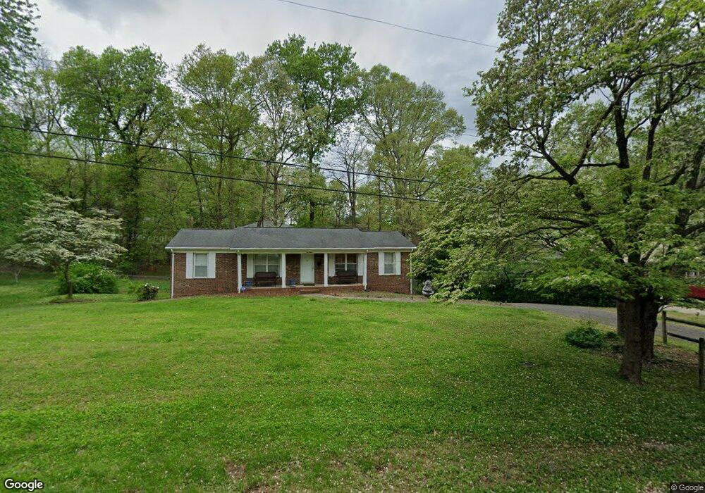
212 Kerrybrook Ln Winston Salem, NC 27104
South Fork NeighborhoodEstimated Value: $260,915 - $283,000
3
Beds
2
Baths
1,375
Sq Ft
$198/Sq Ft
Est. Value
About This Home
This home is located at 212 Kerrybrook Ln, Winston Salem, NC 27104 and is currently estimated at $271,979, approximately $197 per square foot. 212 Kerrybrook Ln is a home located in Forsyth County with nearby schools including South Fork Elementary School, Wiley Magnet Middle School, and Reynolds High School.
Ownership History
Date
Name
Owned For
Owner Type
Purchase Details
Closed on
Jul 30, 2001
Sold by
Marshall Brian G and Marshall Ginger W
Bought by
Silveri Michael A and Silveri Deborah J
Current Estimated Value
Home Financials for this Owner
Home Financials are based on the most recent Mortgage that was taken out on this home.
Original Mortgage
$96,000
Outstanding Balance
$37,286
Interest Rate
7.09%
Estimated Equity
$234,693
Create a Home Valuation Report for This Property
The Home Valuation Report is an in-depth analysis detailing your home's value as well as a comparison with similar homes in the area
Home Values in the Area
Average Home Value in this Area
Purchase History
| Date | Buyer | Sale Price | Title Company |
|---|---|---|---|
| Silveri Michael A | $120,000 | -- |
Source: Public Records
Mortgage History
| Date | Status | Borrower | Loan Amount |
|---|---|---|---|
| Open | Silveri Michael A | $96,000 |
Source: Public Records
Tax History Compared to Growth
Tax History
| Year | Tax Paid | Tax Assessment Tax Assessment Total Assessment is a certain percentage of the fair market value that is determined by local assessors to be the total taxable value of land and additions on the property. | Land | Improvement |
|---|---|---|---|---|
| 2024 | $1,805 | $134,800 | $21,300 | $113,500 |
| 2023 | $1,805 | $134,800 | $21,300 | $113,500 |
| 2022 | $1,771 | $134,800 | $21,300 | $113,500 |
| 2021 | $1,739 | $134,800 | $21,300 | $113,500 |
| 2020 | $1,754 | $127,000 | $20,400 | $106,600 |
| 2019 | $1,766 | $127,000 | $20,400 | $106,600 |
| 2018 | $1,678 | $127,000 | $20,400 | $106,600 |
| 2016 | $1,669 | $126,762 | $20,400 | $106,362 |
| 2015 | -- | $126,762 | $20,400 | $106,362 |
| 2014 | -- | $126,762 | $20,400 | $106,362 |
Source: Public Records
Map
Nearby Homes
- 5591 Hydrangea St
- 5597 Hydrangea St
- 5585 Hydrangea St
- 5579 Hydrangea St
- 5567 Hydrangea St
- 5519 Hydrangea St
- 5561 Hydrangea St
- 5543 Hydrangea St
- 4813 Tiffany Ave
- 4624 Frandale Dr
- 4855 Tiffany Ave
- 4205 Club Pointe Ct
- 310 Coventry Park Ln
- 204 Bradberry Ln
- 435 Burkes Crossing Dr
- 296 Flintshire Rd
- 435 Lynhaven Dr
- 157 N Peace Haven Rd
- 431 Hearthside Dr
- 4011 Dresden Dr
- 200 Kerrybrook Ln
- 220 Kerrybrook Ln
- 207 Piccadilly Dr
- 217 Piccadilly Dr
- 175 Piccadilly Dr
- 215 Kerrybrook Ln
- 235 Bogart Cir
- 136 Kerrybrook Ln
- 300 Kerrybrook Ln
- 221 Piccadilly Dr
- 165 Piccadilly Dr
- 240 Blake St
- 231 Bogart Cir
- 130 Kerrybrook Ln
- 310 Kerrybrook Ln
- 206 Piccadilly Dr
- 131 Kerrybrook Ln
- 157 Piccadilly Dr
- 245 Blake St
- 210 Piccadilly Dr