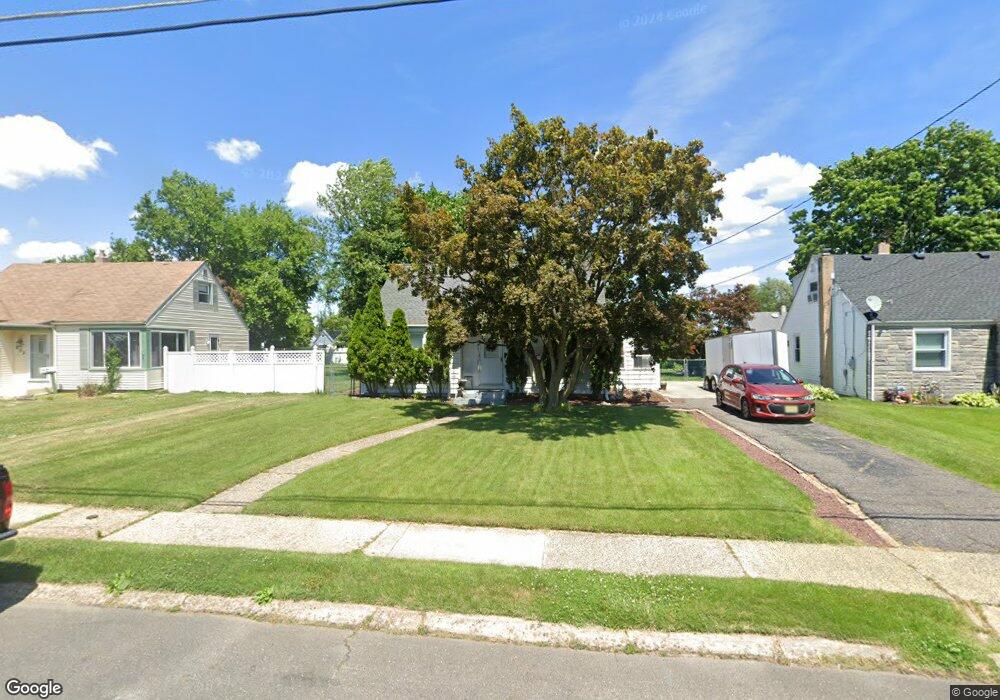
212 Knight Ave Runnemede, NJ 08078
Estimated Value: $236,287 - $351,000
--
Bed
--
Bath
1,180
Sq Ft
$259/Sq Ft
Est. Value
About This Home
This home is located at 212 Knight Ave, Runnemede, NJ 08078 and is currently estimated at $305,322, approximately $258 per square foot. 212 Knight Ave is a home located in Camden County with nearby schools including Mary E. Volz Elementary School, Downing Elementary School, and Triton High School.
Ownership History
Date
Name
Owned For
Owner Type
Purchase Details
Closed on
Aug 18, 1994
Sold by
Hosan James A
Bought by
Harvey John P and Harvey Lisa A
Current Estimated Value
Home Financials for this Owner
Home Financials are based on the most recent Mortgage that was taken out on this home.
Original Mortgage
$847,000
Interest Rate
8.55%
Mortgage Type
VA
Create a Home Valuation Report for This Property
The Home Valuation Report is an in-depth analysis detailing your home's value as well as a comparison with similar homes in the area
Home Values in the Area
Average Home Value in this Area
Purchase History
| Date | Buyer | Sale Price | Title Company |
|---|---|---|---|
| Harvey John P | $83,000 | -- |
Source: Public Records
Mortgage History
| Date | Status | Borrower | Loan Amount |
|---|---|---|---|
| Previous Owner | Harvey John P | $847,000 |
Source: Public Records
Tax History Compared to Growth
Tax History
| Year | Tax Paid | Tax Assessment Tax Assessment Total Assessment is a certain percentage of the fair market value that is determined by local assessors to be the total taxable value of land and additions on the property. | Land | Improvement |
|---|---|---|---|---|
| 2025 | $6,326 | $140,400 | $46,200 | $94,200 |
| 2024 | $6,134 | $140,400 | $46,200 | $94,200 |
| 2023 | $6,134 | $140,400 | $46,200 | $94,200 |
| 2022 | $5,939 | $140,400 | $46,200 | $94,200 |
| 2021 | $5,549 | $140,400 | $46,200 | $94,200 |
| 2020 | $5,741 | $140,400 | $46,200 | $94,200 |
| 2019 | $5,636 | $140,400 | $46,200 | $94,200 |
| 2018 | $5,528 | $140,400 | $46,200 | $94,200 |
| 2017 | $5,386 | $140,400 | $46,200 | $94,200 |
| 2016 | $5,318 | $140,400 | $46,200 | $94,200 |
| 2015 | $5,084 | $140,400 | $46,200 | $94,200 |
| 2014 | $5,015 | $140,400 | $46,200 | $94,200 |
Source: Public Records
Map
Nearby Homes
- 200 Knight Ave
- 230 E Evesham Rd Unit B-1
- 230 E Evesham Rd Unit C15
- 14 E Evesham Rd
- 39 E 2nd Ave
- 1100 Central Ave
- 30 12th Ave
- 108 Schubert Ave
- 2400 Hartford Dr
- 27 E 3rd Ave
- 27 Lillian Place
- 21 S Oakland Ave
- 329 Union Ave
- 200 E 9th Ave
- 232 Garden Terrace
- 13 Albert Rd
- 37 Whaler Ave
- 41 Whaler Ave
- 43 Whaler Ave
- 45 Whaler Ave
- 216 Knight Ave
- 208 Knight Ave
- 209 Paul Place
- 220 Knight Ave
- 204 Knight Ave
- 213 Paul Place
- 209 Knight Ave
- 213 Knight Ave
- 205 Johnson Ave
- 224 Knight Ave
- 205 Knight Ave
- 217 Knight Ave
- 205 Paul Place
- 217 Paul Place
- 201 Johnson Ave
- 201 Knight Ave
- 209 Johnson Ave
- 221 Knight Ave
- 132 Knight Ave
- 228 Knight Ave