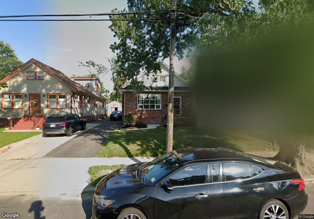
212 Landis Ave Oaklyn, NJ 08107
Estimated Value: $266,426 - $388,000
--
Bed
--
Bath
1,039
Sq Ft
$325/Sq Ft
Est. Value
About This Home
This home is located at 212 Landis Ave, Oaklyn, NJ 08107 and is currently estimated at $337,357, approximately $324 per square foot. 212 Landis Ave is a home located in Camden County with nearby schools including Oaklyn Public School.
Ownership History
Date
Name
Owned For
Owner Type
Purchase Details
Closed on
Nov 30, 2017
Sold by
Watson Arlene M
Bought by
Marchini Daniel J
Current Estimated Value
Home Financials for this Owner
Home Financials are based on the most recent Mortgage that was taken out on this home.
Original Mortgage
$124,160
Outstanding Balance
$104,532
Interest Rate
3.94%
Mortgage Type
New Conventional
Estimated Equity
$232,825
Purchase Details
Closed on
Jul 8, 1971
Bought by
Watson John J and Watson Arlene M
Create a Home Valuation Report for This Property
The Home Valuation Report is an in-depth analysis detailing your home's value as well as a comparison with similar homes in the area
Home Values in the Area
Average Home Value in this Area
Purchase History
| Date | Buyer | Sale Price | Title Company |
|---|---|---|---|
| Marchini Daniel J | $128,000 | American Home Title Agency | |
| Watson John J | $22,500 | -- |
Source: Public Records
Mortgage History
| Date | Status | Borrower | Loan Amount |
|---|---|---|---|
| Open | Marchini Daniel J | $124,160 |
Source: Public Records
Tax History Compared to Growth
Tax History
| Year | Tax Paid | Tax Assessment Tax Assessment Total Assessment is a certain percentage of the fair market value that is determined by local assessors to be the total taxable value of land and additions on the property. | Land | Improvement |
|---|---|---|---|---|
| 2025 | $8,731 | $165,200 | $46,400 | $118,800 |
| 2024 | $8,420 | $165,200 | $46,400 | $118,800 |
| 2023 | $8,420 | $165,200 | $46,400 | $118,800 |
| 2022 | $7,997 | $165,200 | $46,400 | $118,800 |
| 2021 | $7,830 | $165,200 | $46,400 | $118,800 |
| 2020 | $7,716 | $165,200 | $46,400 | $118,800 |
| 2019 | $747 | $165,200 | $46,400 | $118,800 |
| 2018 | $7,350 | $165,200 | $46,400 | $118,800 |
| 2017 | $7,198 | $165,200 | $46,400 | $118,800 |
| 2016 | $7,115 | $165,200 | $46,400 | $118,800 |
| 2015 | $6,983 | $165,200 | $46,400 | $118,800 |
| 2014 | $6,722 | $165,200 | $46,400 | $118,800 |
Source: Public Records
Map
Nearby Homes
- 167 Kendall Blvd
- 211 Landis Ave
- 127 Manor Ave
- 325 Landis Ave
- 300 W Holly Ave
- 505 Newton Ave
- 28 W Greenwood Ave
- 16 W Greenwood Ave
- 604 White Horse Pike
- 412 W Cedar Ave
- 211 Newton Ave
- 4 E Haddon Ave
- 37 W Lakeview Ave
- 35 W Lakeview Ave
- 24 E Holly Ave
- 2 Creston Ave
- 107 E Bettlewood Ave
- 49 E Greenwood Ave
- 117 E Holly Ave
- 50 E Collingswood Ave
- 214 Landis Ave
- 210 Landis Ave
- 208 Landis Ave
- 216 Landis Ave
- 165 Kendall Blvd
- 206 Landis Ave
- 204 Landis Ave
- 169 Kendall Blvd
- 202 Landis Ave
- 213 Landis Ave
- 215 Landis Ave
- 118 Manor Ave
- 168 Kendall Blvd
- 166 Kendall Blvd
- 170 Kendall Blvd
- 209 Landis Ave
- 219 Landis Ave
- 164 Kendall Blvd
- 122 Manor Ave
- 207 Landis Ave