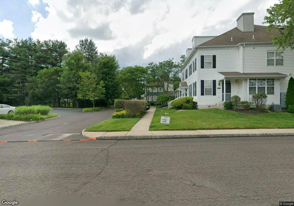
212 Lantern Dr Unit 105 Doylestown, PA 18901
Estimated Value: $470,000 - $486,000
3
Beds
3
Baths
1,600
Sq Ft
$299/Sq Ft
Est. Value
About This Home
This home is located at 212 Lantern Dr Unit 105, Doylestown, PA 18901 and is currently estimated at $478,929, approximately $299 per square foot. 212 Lantern Dr Unit 105 is a home located in Bucks County with nearby schools including Doyle El School, Lenape Middle School, and Central Bucks High School-West.
Ownership History
Date
Name
Owned For
Owner Type
Purchase Details
Closed on
May 29, 2020
Sold by
Mulderrig Virginia M
Bought by
Luchette Joseph A and Eaton Wendy L
Current Estimated Value
Home Financials for this Owner
Home Financials are based on the most recent Mortgage that was taken out on this home.
Original Mortgage
$232,500
Outstanding Balance
$206,478
Interest Rate
3.3%
Mortgage Type
New Conventional
Estimated Equity
$272,451
Purchase Details
Closed on
Dec 14, 2007
Sold by
Eves Brian C
Bought by
Mulderrig Virginia M
Home Financials for this Owner
Home Financials are based on the most recent Mortgage that was taken out on this home.
Original Mortgage
$301,150
Interest Rate
5.75%
Mortgage Type
Purchase Money Mortgage
Purchase Details
Closed on
Oct 21, 2002
Sold by
Lantern Hill At Doylestown Lp
Bought by
Eves Brian C
Home Financials for this Owner
Home Financials are based on the most recent Mortgage that was taken out on this home.
Original Mortgage
$177,550
Interest Rate
6.2%
Create a Home Valuation Report for This Property
The Home Valuation Report is an in-depth analysis detailing your home's value as well as a comparison with similar homes in the area
Home Values in the Area
Average Home Value in this Area
Purchase History
| Date | Buyer | Sale Price | Title Company |
|---|---|---|---|
| Luchette Joseph A | $310,000 | Principle Abstract & Setmnt | |
| Mulderrig Virginia M | $317,000 | None Available | |
| Eves Brian C | $197,310 | -- |
Source: Public Records
Mortgage History
| Date | Status | Borrower | Loan Amount |
|---|---|---|---|
| Open | Luchette Joseph A | $232,500 | |
| Previous Owner | Mulderrig Virginia M | $301,150 | |
| Previous Owner | Eves Brian C | $177,550 |
Source: Public Records
Tax History Compared to Growth
Tax History
| Year | Tax Paid | Tax Assessment Tax Assessment Total Assessment is a certain percentage of the fair market value that is determined by local assessors to be the total taxable value of land and additions on the property. | Land | Improvement |
|---|---|---|---|---|
| 2025 | $5,549 | $30,800 | $2,760 | $28,040 |
| 2024 | $5,549 | $30,800 | $2,760 | $28,040 |
| 2023 | $5,286 | $30,800 | $2,760 | $28,040 |
| 2022 | $5,213 | $30,800 | $2,760 | $28,040 |
| 2021 | $5,156 | $30,800 | $2,760 | $28,040 |
| 2020 | $5,099 | $30,800 | $2,760 | $28,040 |
| 2019 | $5,043 | $30,800 | $2,760 | $28,040 |
| 2018 | $4,981 | $30,800 | $2,760 | $28,040 |
| 2017 | $4,929 | $30,800 | $2,760 | $28,040 |
| 2016 | $4,929 | $30,800 | $2,760 | $28,040 |
| 2015 | -- | $30,800 | $2,760 | $28,040 |
| 2014 | -- | $30,800 | $2,760 | $28,040 |
Source: Public Records
Map
Nearby Homes
- 418 North St
- 333 Dorset Ct Unit 333
- 215 N Franklin St
- 169 N Main St
- 146 N Church St
- 1 Gatehouse Ln
- 90 Chapman Ave
- 146 E Court St
- 37 N Clinton St
- 20 E Court St
- 194 Victoria Ct Unit 143
- 4 Old Colonial Dr Unit 254
- 4 Barnes Ct
- 62 Constitution Ave
- 121 Cottage St
- 114 Blackfriars Cir
- 69 E Oakland Ave
- 100 Bishops Gate Ln Unit 67
- 155 E Oakland Ave
- 110 E Ashland St
- 210 Lantern Dr Unit 104
- 206 Lantern Dr Unit 100
- 208 Lantern Dr
- 204 Lantern Dr Unit 101
- 8 Edison Ln Unit 6
- 112 Lantern Dr
- 306 Lantern Dr Unit 106
- 110 Lantern Dr
- 12 Edison Ln Unit 4
- 304 Lantern Dr Unit 107
- 108 Lantern Dr
- 108 Lantern Dr Unit 97
- 10 Edison Ln Unit 5
- 14 Edison Ln Unit 9
- 16 Edison Ln Unit 8
- 312 Lantern Dr Unit 111
- 106 Lantern Dr Unit 94
- 18 Edison Ln Unit 7
- 310 Lantern Dr Unit 110
- 308 Lantern Dr Unit 109