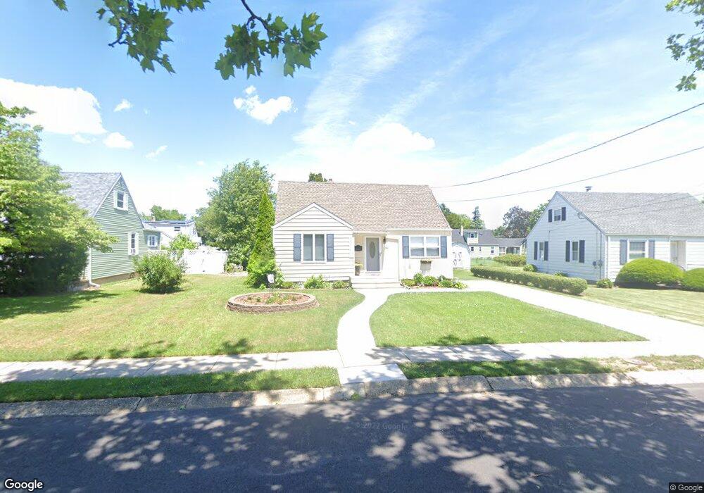
212 Lindsey Ave Runnemede, NJ 08078
Estimated Value: $230,012 - $323,000
--
Bed
--
Bath
1,252
Sq Ft
$233/Sq Ft
Est. Value
About This Home
This home is located at 212 Lindsey Ave, Runnemede, NJ 08078 and is currently estimated at $291,503, approximately $232 per square foot. 212 Lindsey Ave is a home located in Camden County with nearby schools including Mary E. Volz Elementary School, Downing Elementary School, and Triton High School.
Ownership History
Date
Name
Owned For
Owner Type
Purchase Details
Closed on
Jul 28, 2000
Sold by
Mack Sylvia L
Bought by
Ottaway Michael and Farrell Judianne
Current Estimated Value
Home Financials for this Owner
Home Financials are based on the most recent Mortgage that was taken out on this home.
Original Mortgage
$65,000
Outstanding Balance
$23,369
Interest Rate
8.1%
Estimated Equity
$268,134
Create a Home Valuation Report for This Property
The Home Valuation Report is an in-depth analysis detailing your home's value as well as a comparison with similar homes in the area
Home Values in the Area
Average Home Value in this Area
Purchase History
| Date | Buyer | Sale Price | Title Company |
|---|---|---|---|
| Ottaway Michael | $60,000 | -- |
Source: Public Records
Mortgage History
| Date | Status | Borrower | Loan Amount |
|---|---|---|---|
| Open | Ottaway Michael | $65,000 |
Source: Public Records
Tax History Compared to Growth
Tax History
| Year | Tax Paid | Tax Assessment Tax Assessment Total Assessment is a certain percentage of the fair market value that is determined by local assessors to be the total taxable value of land and additions on the property. | Land | Improvement |
|---|---|---|---|---|
| 2025 | $5,578 | $123,800 | $46,200 | $77,600 |
| 2024 | $5,409 | $123,800 | $46,200 | $77,600 |
| 2023 | $5,409 | $123,800 | $46,200 | $77,600 |
| 2022 | $5,237 | $123,800 | $46,200 | $77,600 |
| 2021 | $5,113 | $123,800 | $46,200 | $77,600 |
| 2020 | $5,062 | $123,800 | $46,200 | $77,600 |
| 2019 | $4,969 | $123,800 | $46,200 | $77,600 |
| 2018 | $4,874 | $123,800 | $46,200 | $77,600 |
| 2017 | $4,749 | $123,800 | $46,200 | $77,600 |
| 2016 | $4,690 | $123,800 | $46,200 | $77,600 |
| 2015 | $4,703 | $123,800 | $46,200 | $77,600 |
| 2014 | $4,643 | $123,800 | $46,200 | $77,600 |
Source: Public Records
Map
Nearby Homes
- 200 Knight Ave
- 230 E Evesham Rd Unit B-1
- 230 E Evesham Rd Unit C15
- 14 E Evesham Rd
- 1100 Central Ave
- 30 12th Ave
- 39 E 2nd Ave
- 2400 Hartford Dr
- 200 E 9th Ave
- 21 S Oakland Ave
- 27 Lillian Place
- 27 E 3rd Ave
- 218 High St
- 37 Whaler Ave
- 41 Whaler Ave
- 43 Whaler Ave
- 45 Whaler Ave
- 47 Whaler Dr
- 108 Schubert Ave
- 329 Union Ave
- 208 Lindsey Ave
- 216 Lindsey Ave
- 213 Knight Ave
- 217 Knight Ave
- 204 Lindsey Ave
- 209 Knight Ave
- 221 Knight Ave
- 220 Lindsey Ave
- 149 Ardmore Ave
- 126 Haverford Rd
- 200 Lindsey Ave
- 209 Lindsey Ave
- 205 Knight Ave
- 225 Knight Ave
- 201 Knight Ave
- 136 Lindsey Ave
- 135 Ardmore Ave
- 118 Haverford Rd
- 216 Knight Ave
- 220 Knight Ave