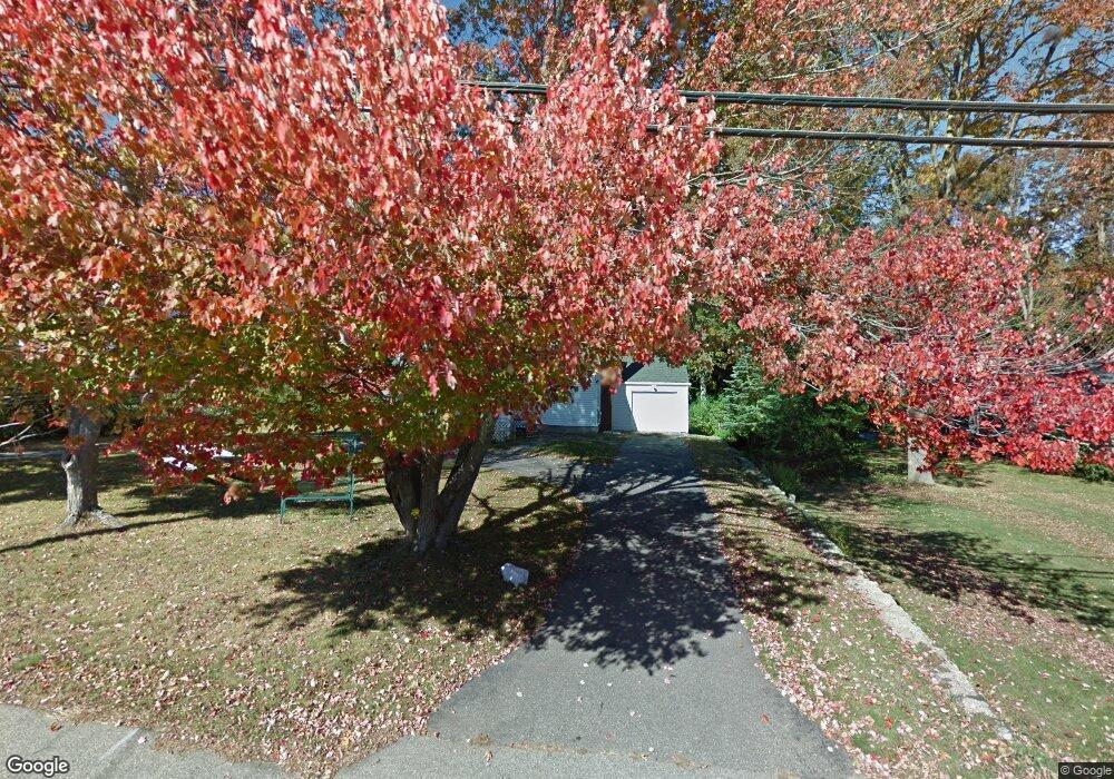
212 Long Sands Rd York, ME 03909
York Harbor NeighborhoodEstimated Value: $813,000 - $1,253,000
4
Beds
3
Baths
2,715
Sq Ft
$386/Sq Ft
Est. Value
About This Home
This home is located at 212 Long Sands Rd, York, ME 03909 and is currently estimated at $1,049,320, approximately $386 per square foot. 212 Long Sands Rd is a home located in York County with nearby schools including Coastal Ridge Elementary School, Village Elementary School, and York Middle School.
Ownership History
Date
Name
Owned For
Owner Type
Purchase Details
Closed on
Nov 12, 2021
Sold by
Lamont Lorraine L
Bought by
Lamont David T and Lamont Patricia A
Current Estimated Value
Home Financials for this Owner
Home Financials are based on the most recent Mortgage that was taken out on this home.
Original Mortgage
$240,000
Outstanding Balance
$219,980
Interest Rate
3.01%
Mortgage Type
Purchase Money Mortgage
Estimated Equity
$829,340
Create a Home Valuation Report for This Property
The Home Valuation Report is an in-depth analysis detailing your home's value as well as a comparison with similar homes in the area
Home Values in the Area
Average Home Value in this Area
Purchase History
| Date | Buyer | Sale Price | Title Company |
|---|---|---|---|
| Lamont David T | -- | None Available |
Source: Public Records
Mortgage History
| Date | Status | Borrower | Loan Amount |
|---|---|---|---|
| Open | Lamont David T | $240,000 |
Source: Public Records
Tax History Compared to Growth
Tax History
| Year | Tax Paid | Tax Assessment Tax Assessment Total Assessment is a certain percentage of the fair market value that is determined by local assessors to be the total taxable value of land and additions on the property. | Land | Improvement |
|---|---|---|---|---|
| 2024 | $7,665 | $912,500 | $375,200 | $537,300 |
| 2023 | $6,002 | $710,300 | $267,300 | $443,000 |
| 2022 | $3,692 | $431,800 | $215,700 | $216,100 |
| 2021 | $3,932 | $395,200 | $206,300 | $188,900 |
| 2020 | $4,238 | $343,000 | $187,600 | $155,400 |
| 2019 | $4,129 | $294,700 | $140,700 | $154,000 |
| 2018 | $1,606 | $285,300 | $131,300 | $154,000 |
| 2017 | $870 | $274,200 | $131,300 | $142,900 |
| 2016 | $3,057 | $274,200 | $131,300 | $142,900 |
| 2015 | $2,985 | $271,400 | $131,300 | $140,100 |
| 2014 | $2,904 | $271,400 | $131,300 | $140,100 |
| 2013 | $2,831 | $271,400 | $131,300 | $140,100 |
Source: Public Records
Map
Nearby Homes
- 208 Long Sands Rd
- 15 Summer Breeze Unit A & B
- 361 Long Beach Ave
- 23 Kerry Rd
- 6 Dingle Rd Unit 4
- 6 Dingle Rd Unit 5
- 2 Roaring Rock Rd
- 8 Roaring Rock Rd
- 277 Long Beach Ave
- 589 York St Unit 11
- 294 York St Unit 1
- 294 York St Unit 2
- 294 York St Unit 3
- 8 Wavecrest Dr
- 281 York St
- 12 Norwood Farms Rd Unit 1
- 10 Yorke Ridge Way
- 11 Ruch Ln
- 801 Us Rt 1 Yorke Woods Unit K-3
- 60 Barrell Ln Unit 3
- 216 Long Sands Rd
- 27 Ferncroft Rd
- 218 Long Sands Rd
- 25 Ferncroft Rd
- 213 Long Sands Rd
- 29 Ferncroft Rd
- 211 Long Sands Rd
- 23 Ferncroft Rd
- 203 Long Sands Rd
- 204 Long Sands Rd
- 5 Lobster Cove Rd
- 17 Ferncroft Rd
- 8 Lobster Cove Rd
- 5 Ferncroft Rd
- 31 Ferncroft Rd
- 5 Lobster Cove Rd
- 33 Ferncroft Rd
- 7 Lobster Cove Rd
- TBD Long Sands
- 200 Long Sands Rd