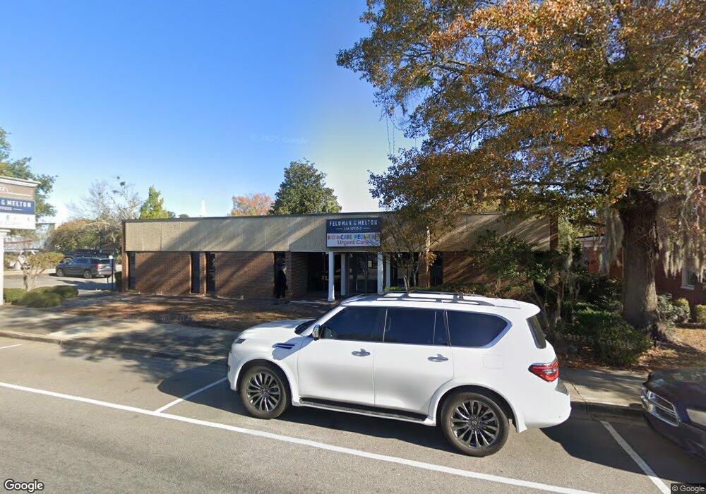
212 Main St Conway, SC 29526
Estimated Value: $468,104
--
Bed
--
Bath
4,984
Sq Ft
$94/Sq Ft
Est. Value
About This Home
This home is located at 212 Main St, Conway, SC 29526 and is currently estimated at $468,104, approximately $93 per square foot. 212 Main St is a home located in Horry County with nearby schools including Conway Elementary School, Conway Middle School, and Conway High School.
Ownership History
Date
Name
Owned For
Owner Type
Purchase Details
Closed on
Dec 28, 2010
Sold by
Jimmy Edwards Construction
Bought by
Solan Properties Llc
Current Estimated Value
Purchase Details
Closed on
Apr 18, 2005
Sold by
Pee Dee Production Credit Assn
Bought by
Jimmy Edwards Construction Co Inc
Home Financials for this Owner
Home Financials are based on the most recent Mortgage that was taken out on this home.
Original Mortgage
$318,750
Interest Rate
5.88%
Mortgage Type
Commercial
Create a Home Valuation Report for This Property
The Home Valuation Report is an in-depth analysis detailing your home's value as well as a comparison with similar homes in the area
Home Values in the Area
Average Home Value in this Area
Purchase History
| Date | Buyer | Sale Price | Title Company |
|---|---|---|---|
| Solan Properties Llc | $122,010 | -- | |
| Jimmy Edwards Construction Co Inc | $375,000 | -- |
Source: Public Records
Mortgage History
| Date | Status | Borrower | Loan Amount |
|---|---|---|---|
| Previous Owner | Jimmy Edwards Construction Co Inc | $318,750 |
Source: Public Records
Tax History Compared to Growth
Tax History
| Year | Tax Paid | Tax Assessment Tax Assessment Total Assessment is a certain percentage of the fair market value that is determined by local assessors to be the total taxable value of land and additions on the property. | Land | Improvement |
|---|---|---|---|---|
| 2024 | $7,204 | $34,436 | $10,892 | $23,544 |
| 2023 | $7,204 | $20,408 | $9,076 | $11,332 |
| 2021 | $5,378 | $23,560 | $9,076 | $14,484 |
| 2020 | $5,200 | $23,560 | $9,076 | $14,484 |
| 2019 | $5,200 | $23,560 | $9,076 | $14,484 |
| 2018 | $0 | $17,746 | $9,076 | $8,670 |
| 2017 | $4,755 | $17,746 | $9,076 | $8,670 |
| 2016 | -- | $17,746 | $9,076 | $8,670 |
| 2015 | $4,755 | $17,746 | $9,076 | $8,670 |
| 2014 | $4,627 | $17,746 | $9,076 | $8,670 |
Source: Public Records
Map
Nearby Homes
- TBD U S 501 Business
- Hunting Swamp Rd
- Lot 1 & 2 College Park Rd Unit COLLEGE PARK
- 14 Laurel St Unit 14
- TBD Kates Bay Hwy
- 509 Beaty St
- 3691 S Carolina 905
- 1520 4th Ave
- TBD1150 U S 501 Business
- 2208 6th Ave
- 12.64 Acs E Highway 501
- TBD 4.48 acres E Highway 501
- TBD HWY 501 E Highway 501
- 411 Apple Ln
- TBD Highway 378
- 1003 Winding Rd
- 1305 Forest View Rd
- 503 Alston St
- 1011 Hickory Cir
- 443 Myrtle St Unit Lot 148
- 206 Main St
- Lot 84 Kingston Rd
- 913 3rd Ave
- 219 Kingston St
- 903 3rd Ave
- 1013 3rd Ave
- 904 3rd Ave
- 123 U S 501 Business
- 304 Main St
- TBD Kingston St Unit Parcel 3-B
- 910 3rd Ave
- 303 Main St
- 301 Main St
- 301 Main St
- TBD Norman Alley Unit Building between Nor
- 108 N Main St Unit Riverfront
- 108 N Main St
- 1017 3rd Ave Unit Between Main Street
- 911 Norman St
- 308 N Main St