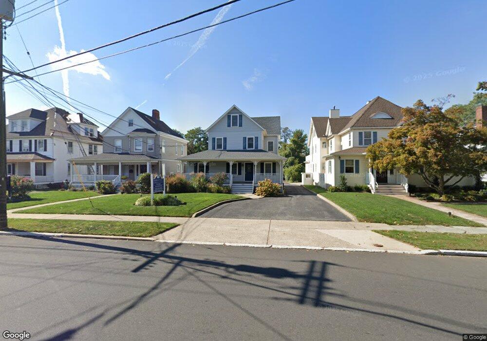
212 Maple Ave Unit 1 Red Bank, NJ 07701
Estimated Value: $1,032,471
--
Bed
--
Bath
495
Sq Ft
$2,086/Sq Ft
Est. Value
About This Home
This home is located at 212 Maple Ave Unit 1, Red Bank, NJ 07701 and is currently estimated at $1,032,471, approximately $2,085 per square foot. 212 Maple Ave Unit 1 is a home located in Monmouth County with nearby schools including Red Bank Primary School, Red Bank Middle School, and Red Bank Regional High School.
Ownership History
Date
Name
Owned For
Owner Type
Purchase Details
Closed on
Aug 15, 2016
Sold by
Auerbach Phillip G and Auerbach Cynthia
Bought by
Kornstick Properties Llc
Current Estimated Value
Home Financials for this Owner
Home Financials are based on the most recent Mortgage that was taken out on this home.
Original Mortgage
$350,000
Outstanding Balance
$278,717
Interest Rate
3.42%
Mortgage Type
Commercial
Estimated Equity
$753,754
Purchase Details
Closed on
Jul 22, 2002
Sold by
Waldman Daniel
Bought by
Auerbach Phillip and Auerbach Cynthia
Create a Home Valuation Report for This Property
The Home Valuation Report is an in-depth analysis detailing your home's value as well as a comparison with similar homes in the area
Home Values in the Area
Average Home Value in this Area
Purchase History
| Date | Buyer | Sale Price | Title Company |
|---|---|---|---|
| Kornstick Properties Llc | $499,900 | Trident Abstract Title | |
| Auerbach Phillip | $450,000 | -- |
Source: Public Records
Mortgage History
| Date | Status | Borrower | Loan Amount |
|---|---|---|---|
| Open | Kornstick Properties Llc | $350,000 |
Source: Public Records
Tax History Compared to Growth
Tax History
| Year | Tax Paid | Tax Assessment Tax Assessment Total Assessment is a certain percentage of the fair market value that is determined by local assessors to be the total taxable value of land and additions on the property. | Land | Improvement |
|---|---|---|---|---|
| 2025 | $13,363 | $757,200 | $353,800 | $403,400 |
| 2024 | $13,301 | $707,400 | $315,400 | $392,000 |
| 2023 | $13,301 | $696,000 | $315,400 | $380,600 |
| 2022 | $12,623 | $629,000 | $293,400 | $335,600 |
| 2021 | $12,623 | $564,300 | $244,500 | $319,800 |
| 2020 | $12,748 | $561,100 | $244,500 | $316,600 |
| 2019 | $12,280 | $555,400 | $244,500 | $310,900 |
| 2018 | $11,760 | $537,700 | $244,500 | $293,200 |
| 2017 | $11,333 | $537,100 | $244,500 | $292,600 |
| 2016 | $11,197 | $531,400 | $244,500 | $286,900 |
| 2015 | $10,620 | $522,400 | $278,600 | $243,800 |
| 2014 | $11,103 | $580,400 | $309,500 | $270,900 |
Source: Public Records
Map
Nearby Homes
- 59 Leroy Place
- 17 Leroy Place Unit 3B
- 17 Leroy Place Unit 2B
- 3 Cedar Crossing
- 24 Cedar Crossing
- 23 Cedar Crossing
- 59 Peters Place
- 171-173 Bridge Ave
- 159 Bridge Ave
- 70 Hudson Ave
- 58 Hudson Ave
- 48 Hudson Ave
- 44 Hudson Ave
- 39 Sunset Ave E
- 19 Sunset Ave E
- 38 Bank St
- 23 Wallace St Unit 306
- 121 Catherine St
- 82 Linden Place
- 44 Sunset Ave W
- 212 Maple Ave Unit 3
- 212 Maple Ave
- 212 Maple Ave Unit 2
- 208 Maple Ave Unit 4
- 216 Maple Ave
- 218 Maple Ave Unit 220
- 200 Maple Ave
- 224 Maple Ave
- 228 Maple Ave
- 215 Maple Ave
- 223 Maple Ave Unit 3
- 223 Maple Ave Unit 2
- 223 Maple Ave Unit 3
- 219 Maple Ave
- 195 Maple Ave
- 227 Maple Ave Unit 229
- 227 Maple Ave
- 191 Maple Ave
- 55 Irving Place
- 231 Maple Ave