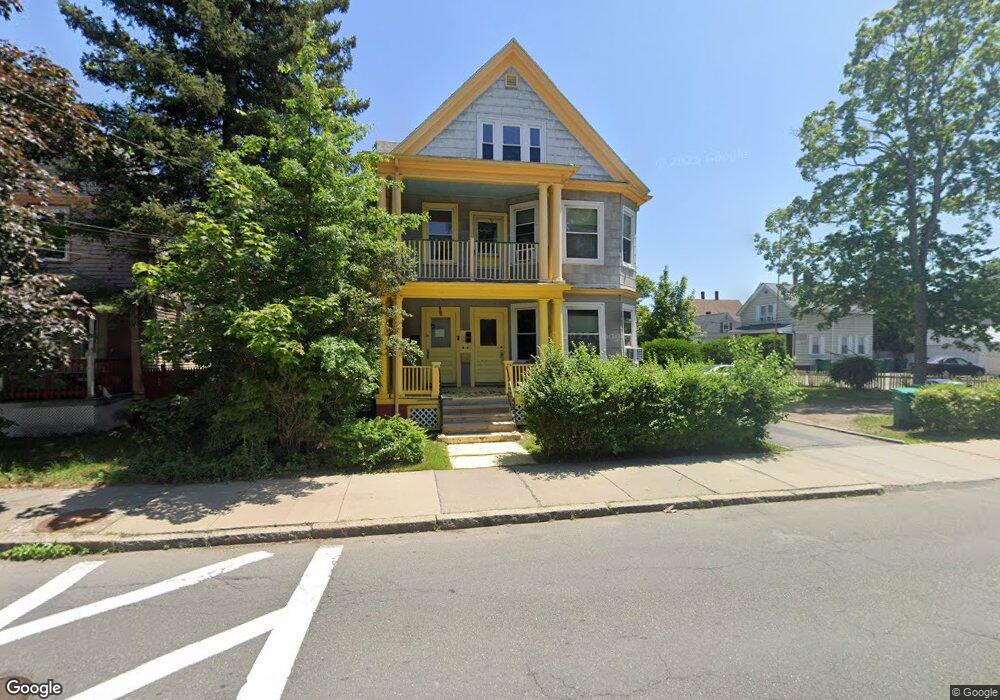
212 Maple St Unit 214 Lynn, MA 01904
Lynn English NeighborhoodEstimated Value: $767,000 - $930,000
10
Beds
2
Baths
3,591
Sq Ft
$233/Sq Ft
Est. Value
About This Home
This home is located at 212 Maple St Unit 214, Lynn, MA 01904 and is currently estimated at $835,247, approximately $232 per square foot. 212 Maple St Unit 214 is a home located in Essex County with nearby schools including Edward A. Sisson Elementary School, William R. Fallon School, and Pickering Middle School.
Ownership History
Date
Name
Owned For
Owner Type
Purchase Details
Closed on
Mar 28, 2018
Sold by
Pnagopoulos Milton P
Bought by
Maple Street Rt
Current Estimated Value
Purchase Details
Closed on
Feb 10, 2011
Sold by
Est Ruth James J and Ruth Richard J
Bought by
Panagopoulos Milton P
Home Financials for this Owner
Home Financials are based on the most recent Mortgage that was taken out on this home.
Original Mortgage
$170,000
Interest Rate
4.88%
Mortgage Type
Purchase Money Mortgage
Create a Home Valuation Report for This Property
The Home Valuation Report is an in-depth analysis detailing your home's value as well as a comparison with similar homes in the area
Home Values in the Area
Average Home Value in this Area
Purchase History
| Date | Buyer | Sale Price | Title Company |
|---|---|---|---|
| Maple Street Rt | -- | -- | |
| Panagopoulos Milton P | $260,000 | -- |
Source: Public Records
Mortgage History
| Date | Status | Borrower | Loan Amount |
|---|---|---|---|
| Previous Owner | Panagopoulos Milton P | $170,000 |
Source: Public Records
Tax History Compared to Growth
Tax History
| Year | Tax Paid | Tax Assessment Tax Assessment Total Assessment is a certain percentage of the fair market value that is determined by local assessors to be the total taxable value of land and additions on the property. | Land | Improvement |
|---|---|---|---|---|
| 2025 | $8,534 | $823,766 | $221,600 | $602,166 |
| 2024 | $8,150 | $774,000 | $216,600 | $557,400 |
| 2023 | $8,048 | $721,800 | $203,600 | $518,200 |
| 2022 | $7,969 | $641,100 | $160,800 | $480,300 |
| 2021 | $7,694 | $590,500 | $162,800 | $427,700 |
| 2020 | $7,064 | $527,200 | $146,800 | $380,400 |
| 2019 | $6,857 | $479,500 | $138,300 | $341,200 |
| 2018 | $6,307 | $416,300 | $128,800 | $287,500 |
| 2017 | $6,039 | $387,100 | $113,800 | $273,300 |
| 2016 | $5,611 | $346,800 | $105,200 | $241,600 |
| 2015 | $5,466 | $326,300 | $111,700 | $214,600 |
Source: Public Records
Map
Nearby Homes
- 22 Clovelly St
- 27-29 Graves Ave
- 106 Goodridge St
- 35 Allen Ave
- 30 Linden Terrace
- 325 Western Ave
- 101 Maple St
- 6A Goodridge St
- 64 Allerton St
- 20 Saratoga St
- 20 Lexington St
- 431-433 Chatham St
- 69 Hawthorne St
- 32 Haviland Ave
- 21 Lake View Place
- 49 Haviland Ave
- 48 Eutaw Ave
- 44 Eutaw Ave
- 185 Hamilton Ave
- 32 Clarendon Ave
- 9 Mapleton Place
- 7 Sanborn Terrace
- 210 Maple St
- 11 Mapleton Place
- 11 Sanborn Terrace
- 20 Mapleton Place
- 220 Maple St
- 220 Maple St Unit 1
- 220 Maple St Unit 2
- 8 Mapleton Place
- 16 Mapleton Place
- 15 Sanborn Terrace
- 12 Mapleton Place
- 10 Graves Place
- 222-224 Maple St
- 222 Maple St Unit 224
- 14 Graves Place
- 8 Cross St
- 20 Graves Place
- 20 Graves Place Unit 1