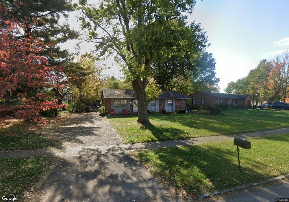
212 Markham Dr Georgetown, KY 40324
Mount Vernon NeighborhoodEstimated Value: $191,000 - $238,000
3
Beds
1
Bath
1,215
Sq Ft
$177/Sq Ft
Est. Value
About This Home
This home is located at 212 Markham Dr, Georgetown, KY 40324 and is currently estimated at $215,574, approximately $177 per square foot. 212 Markham Dr is a home located in Scott County with nearby schools including Southern Elementary School, Georgetown Middle School, and Scott County High School.
Ownership History
Date
Name
Owned For
Owner Type
Purchase Details
Closed on
Mar 25, 2016
Sold by
Martin Susan and Martin Kyle
Bought by
Escareno Emilio D and Escareno Erika
Current Estimated Value
Home Financials for this Owner
Home Financials are based on the most recent Mortgage that was taken out on this home.
Original Mortgage
$92,569
Interest Rate
3.65%
Mortgage Type
New Conventional
Create a Home Valuation Report for This Property
The Home Valuation Report is an in-depth analysis detailing your home's value as well as a comparison with similar homes in the area
Home Values in the Area
Average Home Value in this Area
Purchase History
| Date | Buyer | Sale Price | Title Company |
|---|---|---|---|
| Escareno Emilio D | $96,000 | Attorney |
Source: Public Records
Mortgage History
| Date | Status | Borrower | Loan Amount |
|---|---|---|---|
| Previous Owner | Escareno Emilio D | $92,569 |
Source: Public Records
Tax History
| Year | Tax Paid | Tax Assessment Tax Assessment Total Assessment is a certain percentage of the fair market value that is determined by local assessors to be the total taxable value of land and additions on the property. | Land | Improvement |
|---|---|---|---|---|
| 2025 | $1,335 | $149,900 | $0 | $0 |
| 2024 | $1,293 | $143,800 | $0 | $0 |
| 2023 | $1,227 | $135,300 | $32,000 | $103,300 |
| 2022 | $1,101 | $129,500 | $25,000 | $104,500 |
| 2021 | $1,094 | $116,100 | $25,000 | $91,100 |
| 2020 | $977 | $113,700 | $25,000 | $88,700 |
| 2019 | $929 | $106,400 | $0 | $0 |
| 2018 | $876 | $100,900 | $0 | $0 |
| 2017 | $837 | $96,000 | $0 | $0 |
| 2016 | $730 | $90,600 | $0 | $0 |
| 2015 | $725 | $90,610 | $0 | $0 |
| 2014 | $751 | $90,610 | $0 | $0 |
| 2011 | $56 | $90,610 | $0 | $0 |
Source: Public Records
Map
Nearby Homes
- 139 E Showalter Dr
- 230 E Showalter Dr
- 104 Bronte Place
- 1117 Pawnee Trail
- 305 Yorktown Ct
- 100 Hemingway Ct
- 206 Hiawatha Trail
- 1003 Parkside Dr
- 1026 Parkside Dr
- 159 Irving Ln
- 134 Hemingway Place
- 118 Chamberlain Dr
- 402 Hiawatha Trail
- 115 Victor Place
- 106 Ransom Trace
- 113 Walden Cove Unit 3I
- 111 E College St
- 210 Hazelwood Dr
- 208 Montgomery Ave
- 103 Crescent Way
- 208 Markham Dr
- 216 Markham Dr
- 220 Markham Dr
- 204 Markham Dr
- 139A Towson Way Unit 139B
- 141A Towson Way Unit 141B
- 139 Towson Way
- 139 Towson Way Unit A&B
- 139 Towson Way Unit : A&B
- 141 Towson Way Unit B
- 141 Towson Way Unit A&B
- 141 Towson Way Unit A
- 141 Towson Way Unit : A&B
- 224 Markham Dr
- 137 Towson Way Unit A & B
- 215 Markham Dr
- 143A Towson Way Unit 143B
- 217 Markham Dr
- 213 Markham Dr
- 200 Markham Dr
Your Personal Tour Guide
Ask me questions while you tour the home.