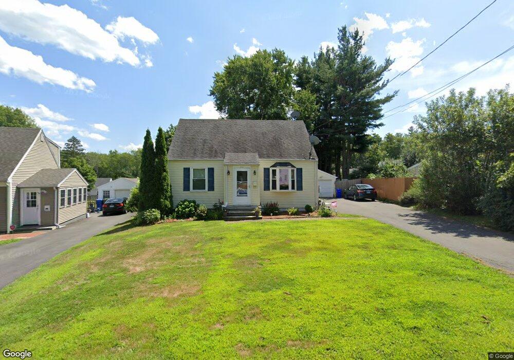
212 Markham St Middletown, CT 06457
Westfield NeighborhoodEstimated Value: $277,273 - $296,000
4
Beds
2
Baths
1,008
Sq Ft
$286/Sq Ft
Est. Value
About This Home
This home is located at 212 Markham St, Middletown, CT 06457 and is currently estimated at $287,818, approximately $285 per square foot. 212 Markham St is a home located in Middlesex County with nearby schools including Wilbert Snow Elementary School, St John Paul II School, and Mercy High School.
Ownership History
Date
Name
Owned For
Owner Type
Purchase Details
Closed on
Mar 30, 2001
Sold by
Lemar Kenneth C
Bought by
Walden Michele D
Current Estimated Value
Home Financials for this Owner
Home Financials are based on the most recent Mortgage that was taken out on this home.
Original Mortgage
$90,000
Interest Rate
10.5%
Create a Home Valuation Report for This Property
The Home Valuation Report is an in-depth analysis detailing your home's value as well as a comparison with similar homes in the area
Home Values in the Area
Average Home Value in this Area
Purchase History
| Date | Buyer | Sale Price | Title Company |
|---|---|---|---|
| Walden Michele D | $112,500 | -- |
Source: Public Records
Mortgage History
| Date | Status | Borrower | Loan Amount |
|---|---|---|---|
| Open | Walden Michele D | $192,000 | |
| Closed | Walden Michele D | $130,000 | |
| Closed | Walden Michele D | $124,200 | |
| Closed | Walden Michele D | $90,000 | |
| Closed | Walden Michele D | $22,500 |
Source: Public Records
Tax History Compared to Growth
Tax History
| Year | Tax Paid | Tax Assessment Tax Assessment Total Assessment is a certain percentage of the fair market value that is determined by local assessors to be the total taxable value of land and additions on the property. | Land | Improvement |
|---|---|---|---|---|
| 2025 | $5,520 | $141,900 | $58,210 | $83,690 |
| 2024 | $5,222 | $141,900 | $58,210 | $83,690 |
| 2023 | $4,981 | $141,900 | $58,210 | $83,690 |
| 2022 | $4,380 | $99,550 | $38,810 | $60,740 |
| 2021 | $4,380 | $99,550 | $38,810 | $60,740 |
| 2020 | $4,400 | $99,550 | $38,810 | $60,740 |
| 2019 | $4,420 | $99,550 | $38,810 | $60,740 |
| 2018 | $4,560 | $104,350 | $38,810 | $65,540 |
| 2017 | $4,236 | $99,900 | $45,170 | $54,730 |
| 2016 | $4,116 | $99,900 | $45,170 | $54,730 |
| 2015 | $3,956 | $99,900 | $45,170 | $54,730 |
| 2014 | $3,996 | $99,900 | $45,170 | $54,730 |
Source: Public Records
Map
Nearby Homes
- 40 Batt St
- 17 Mckenna Dr
- 574 Butternut St
- 81 Aresco Dr
- 237 Boston Rd
- 160 Boston Rd
- 498 Pine St
- 55 Lorelei Cir
- 10 Lorelei Cir
- 27 Barbara Rd
- 491 Long Hill Rd
- 60 Old Mill Rd
- 1271 Washington St Unit 7
- 128 Highland Ave
- 9 Sunset Dr
- 30 Orange Rd Unit 30
- 84 Camp St
- 31 Broadview Pkwy
- 18 Phedon Pkwy
- 1 Nathan Hale Rd
- 208 Markham St
- 216 Hendley St
- 224 Hendley St
- 202 Markham St
- 232 Hendley St
- 418 Wadsworth St
- 412 Wadsworth St
- 424 Wadsworth St
- 200 Hendley St
- 196 Markham St
- 205 Markham St
- 406 Wadsworth St
- 242 Hendley St
- 217 Hendley St
- 192 Hendley St
- 398 Wadsworth St
- 199 Markham St
- 209 Hendley St
- 192 Markham St
- 229 Hendley St