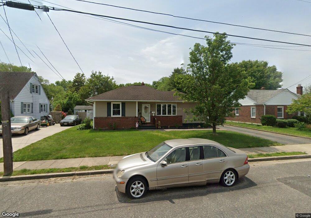
212 Marsden Ave Penns Grove, NJ 08069
Estimated Value: $205,988 - $277,000
3
Beds
1
Bath
1,122
Sq Ft
$222/Sq Ft
Est. Value
About This Home
This home is located at 212 Marsden Ave, Penns Grove, NJ 08069 and is currently estimated at $249,247, approximately $222 per square foot. 212 Marsden Ave is a home located in Salem County with nearby schools including Lafayette-Pershing Elementary School, Field Street Elementary School, and Paul W. Carleton Elementary School.
Ownership History
Date
Name
Owned For
Owner Type
Purchase Details
Closed on
Oct 31, 2011
Sold by
Bicknell James F and Bicknell Denise L
Bought by
Frazier Cherronna
Current Estimated Value
Home Financials for this Owner
Home Financials are based on the most recent Mortgage that was taken out on this home.
Original Mortgage
$158,163
Outstanding Balance
$108,164
Interest Rate
4.08%
Mortgage Type
Purchase Money Mortgage
Estimated Equity
$141,083
Create a Home Valuation Report for This Property
The Home Valuation Report is an in-depth analysis detailing your home's value as well as a comparison with similar homes in the area
Home Values in the Area
Average Home Value in this Area
Purchase History
| Date | Buyer | Sale Price | Title Company |
|---|---|---|---|
| Frazier Cherronna | $155,000 | -- |
Source: Public Records
Mortgage History
| Date | Status | Borrower | Loan Amount |
|---|---|---|---|
| Open | Frazier Cherronna | $158,163 |
Source: Public Records
Tax History Compared to Growth
Tax History
| Year | Tax Paid | Tax Assessment Tax Assessment Total Assessment is a certain percentage of the fair market value that is determined by local assessors to be the total taxable value of land and additions on the property. | Land | Improvement |
|---|---|---|---|---|
| 2025 | $3,779 | $194,500 | $53,100 | $141,400 |
| 2024 | $3,649 | $102,500 | $30,900 | $71,600 |
| 2023 | $3,649 | $102,500 | $30,900 | $71,600 |
| 2022 | $3,434 | $102,500 | $30,900 | $71,600 |
| 2021 | $3,401 | $102,500 | $30,900 | $71,600 |
| 2020 | $3,431 | $102,500 | $30,900 | $71,600 |
| 2019 | $3,459 | $102,500 | $30,900 | $71,600 |
| 2018 | $3,681 | $116,900 | $32,400 | $84,500 |
| 2017 | $3,432 | $116,900 | $32,400 | $84,500 |
| 2016 | $4,150 | $146,700 | $39,400 | $107,300 |
| 2015 | $3,957 | $146,700 | $39,400 | $107,300 |
| 2014 | $3,745 | $146,700 | $39,400 | $107,300 |
Source: Public Records
Map
Nearby Homes
- 15 1/2 N Miller Ave
- 279 Logwood Ave
- 45 S Virginia Ave
- 150 Penns Grove Auburn Rd
- 114 Deming Ave
- 83 Willis St
- 65 S Miller Ave
- 0 Cumberland Ave
- 39 41 Cumberland Ave
- 0 Lincoln Avenue & Cumberland
- 253 Dixie Dr
- 59-61 Walnut St
- 32 Walnut St
- 55 57 Walnut St
- 34 38 Cumberland Ave
- 210 Penns Grove Auburn Rd
- 99 N Virginia Ave
- 136 Penns Grove Auburn Rd
- 5 Dixie Dr
- 32 Westminster Ave
- 208 Marsden Ave
- 214 Marsden Ave
- 219 Morgan Ave
- 218 Marsden Ave
- 209 Marsden Ave
- 207 Marsden Ave
- 211 Marsden Ave
- 202 Marsden Ave
- 0 Torton St
- 220 Marsden Ave
- 217 Marsden Ave
- 212 Morgan Ave
- 201 Marsden Ave
- 30 Torton Ave
- 200 Marsden Ave
- 221 Marsden Ave
- 223 Morgan Ave
- 224 Marsden Ave
- 219 Fisher Ave
- 54 Gary Ave