212 Mountview Ln Onalaska, WA 98570
Estimated Value: $522,369 - $564,000
3
Beds
2
Baths
1,880
Sq Ft
$291/Sq Ft
Est. Value
About This Home
This home is located at 212 Mountview Ln, Onalaska, WA 98570 and is currently estimated at $546,456, approximately $290 per square foot. 212 Mountview Ln is a home located in Lewis County with nearby schools including Onalaska Elementary School and Onalaska High School.
Ownership History
Date
Name
Owned For
Owner Type
Purchase Details
Closed on
Aug 7, 2009
Sold by
Baker Keith T and Baker Angela R
Bought by
Roe Brandon W
Current Estimated Value
Purchase Details
Closed on
Jun 16, 2005
Sold by
Emerson Ralph W and Emerson June B
Bought by
Baker Keith T and Baker Angela R
Home Financials for this Owner
Home Financials are based on the most recent Mortgage that was taken out on this home.
Original Mortgage
$30,000
Interest Rate
5.56%
Mortgage Type
Purchase Money Mortgage
Create a Home Valuation Report for This Property
The Home Valuation Report is an in-depth analysis detailing your home's value as well as a comparison with similar homes in the area
Home Values in the Area
Average Home Value in this Area
Purchase History
| Date | Buyer | Sale Price | Title Company |
|---|---|---|---|
| Roe Brandon W | $35,823 | None Available | |
| Baker Keith T | -- | None Available |
Source: Public Records
Mortgage History
| Date | Status | Borrower | Loan Amount |
|---|---|---|---|
| Previous Owner | Baker Keith T | $30,000 |
Source: Public Records
Tax History Compared to Growth
Tax History
| Year | Tax Paid | Tax Assessment Tax Assessment Total Assessment is a certain percentage of the fair market value that is determined by local assessors to be the total taxable value of land and additions on the property. | Land | Improvement |
|---|---|---|---|---|
| 2025 | $3,192 | $423,900 | $114,900 | $309,000 |
| 2024 | $3,192 | $505,400 | $119,400 | $386,000 |
| 2023 | $3,190 | $486,700 | $88,000 | $398,700 |
| 2022 | $2,800 | $366,500 | $69,700 | $296,800 |
| 2021 | $2,779 | $366,500 | $69,700 | $296,800 |
| 2020 | $2,800 | $322,900 | $58,100 | $264,800 |
| 2019 | $2,497 | $304,500 | $58,100 | $246,400 |
| 2018 | $2,357 | $267,200 | $51,000 | $216,200 |
| 2017 | $2,163 | $228,900 | $50,700 | $178,200 |
| 2016 | $2,045 | $210,300 | $48,300 | $162,000 |
| 2015 | $419 | $193,300 | $46,000 | $147,300 |
| 2013 | $419 | $124,600 | $46,000 | $78,600 |
Source: Public Records
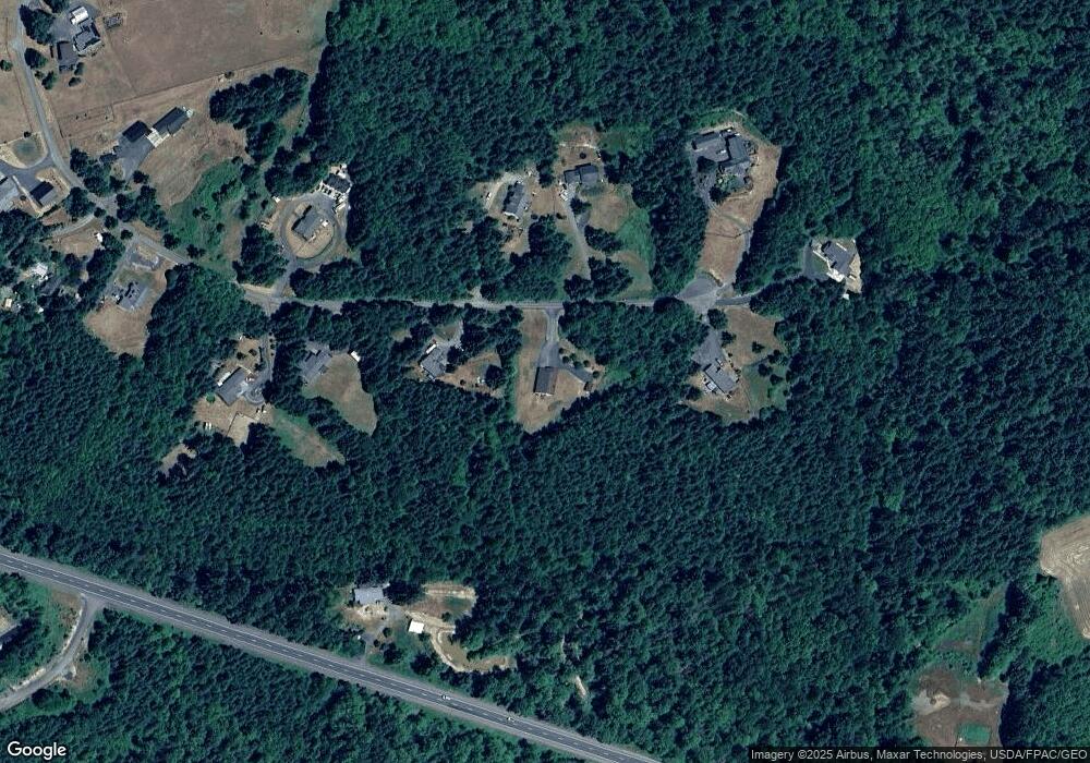
Map
Nearby Homes
- 0 Kiser Rd Unit NWM2399084
- 0 Kiser Rd Unit 24178603
- 1296 U S 12
- 235 Allison Rd
- 233 Allison Rd
- 112 Jenny Kay Ln
- 129 Jenny Kay Ln
- 137 Jenny Kay Ln
- 0 Nicholson Rd Unit NWM2416744
- 0 Nicholson Rd Unit 238408117
- 310 Oyler Rd
- 565 Oyler Rd
- 0 X Oyler Rd
- 0 State Hwy 12
- 595 Oyler Rd
- 142 Nicholson Rd
- 225 Blue Eagle Dr
- 0 State 508
- 0 Gore Rd Unit NWM2370858
- 461 Avery Rd E Unit 35
- 207 Mountview Ln
- 200 Mountview Ln
- 228 Mountview Ln
- 194 Mountview Ln
- 231 Mountview Ln
- 231 Mountview Ln
- 189 Mountview Ln
- 230 Mountview Ln
- 188 Mountview Ln
- 1057 Us Hwy 12
- 176 Mountview Ln
- 169 Mountview Ln
- 356 Larmon Rd
- 168 Mountview Ln
- 147 Mountview Ln
- 0 Volcano Ln Unit 1795293
- 0 Lot 6 Volcano Ln
- 0 Volcano Ln Unit 1626706
- 5 Volcano Rd