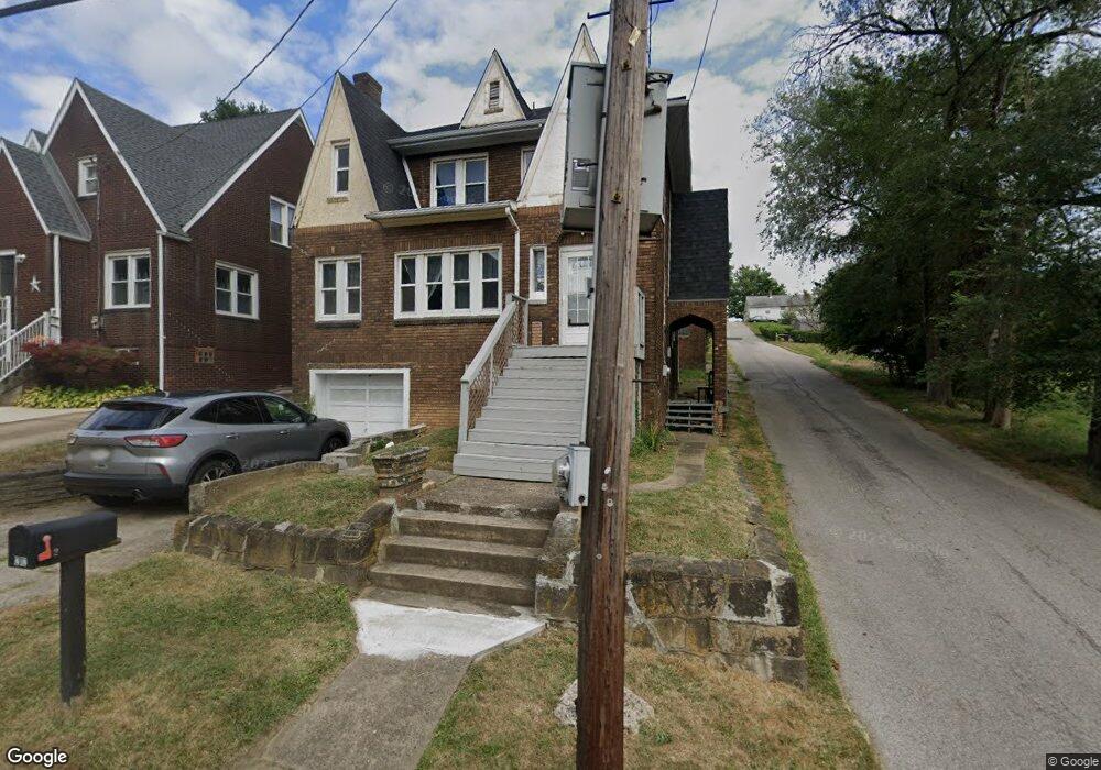
212 N 10th St Weirton, WV 26062
Estimated Value: $91,000 - $143,000
3
Beds
1
Bath
1,898
Sq Ft
$60/Sq Ft
Est. Value
About This Home
This home is located at 212 N 10th St, Weirton, WV 26062 and is currently estimated at $113,667, approximately $59 per square foot. 212 N 10th St is a home located in Hancock County with nearby schools including St. Joseph the Worker Grade School, St. Paul School, and Weirton Madonna High School.
Ownership History
Date
Name
Owned For
Owner Type
Purchase Details
Closed on
Aug 8, 2024
Sold by
Guglielmo Karen D and Guglielmo Karen M
Bought by
Guglielmo Eugene J
Current Estimated Value
Home Financials for this Owner
Home Financials are based on the most recent Mortgage that was taken out on this home.
Original Mortgage
$850,000
Outstanding Balance
$827,330
Interest Rate
6.73%
Mortgage Type
New Conventional
Estimated Equity
-$713,663
Create a Home Valuation Report for This Property
The Home Valuation Report is an in-depth analysis detailing your home's value as well as a comparison with similar homes in the area
Home Values in the Area
Average Home Value in this Area
Purchase History
| Date | Buyer | Sale Price | Title Company |
|---|---|---|---|
| Guglielmo Eugene J | -- | None Listed On Document |
Source: Public Records
Mortgage History
| Date | Status | Borrower | Loan Amount |
|---|---|---|---|
| Open | Guglielmo Eugene J | $850,000 |
Source: Public Records
Tax History Compared to Growth
Tax History
| Year | Tax Paid | Tax Assessment Tax Assessment Total Assessment is a certain percentage of the fair market value that is determined by local assessors to be the total taxable value of land and additions on the property. | Land | Improvement |
|---|---|---|---|---|
| 2024 | $592 | $37,140 | $3,120 | $34,020 |
| 2023 | $567 | $36,840 | $2,820 | $34,020 |
| 2022 | $570 | $36,840 | $2,820 | $34,020 |
| 2021 | $558 | $35,940 | $2,820 | $33,120 |
| 2020 | $532 | $34,380 | $2,640 | $31,740 |
| 2019 | $521 | $33,300 | $2,400 | $30,900 |
| 2018 | $503 | $31,980 | $1,980 | $30,000 |
| 2017 | $485 | $30,600 | $1,800 | $28,800 |
| 2016 | $483 | $30,480 | $1,680 | $28,800 |
| 2015 | $513 | $28,980 | $1,680 | $27,300 |
| 2014 | $513 | $27,600 | $1,620 | $25,980 |
Source: Public Records
Map
Nearby Homes
- 0 Owings St
- 164 Franklin St
- 330 Fairview St
- 1053 Pennsylvania Ave
- 0 Surrounding Rose Garden Unit 5114539
- 112 Hardy St
- 204 Beech Rd
- 117 N 13th St
- 121 Pikeview Rd
- 135 Eva St
- 119 S 13th St
- 122 Mason St
- 0 Locust St
- 146 N 15th St
- 126 Cropper St
- 90 View St
- 212 Wayne Ave
- 127 Mineral Ave
- 116 Arena Dr
- 156 Mayfair St
- 216 N 10th St
- 220 N 10th St
- 214 N 10th St
- 219 N 10th St
- 224 N 10th St
- 228 N 10th St
- 234 N 10th St
- 211 Fairview St
- 213 Fairview St Unit 215
- 215 Fairview St
- 215 Fairview St
- 223 N 10th St
- 173 Franklin St
- 219 Fairview St
- 223 Fairview St
- 227 Fairview St
- 203 Franklin St Unit 205
- 168 Oak St
- 225 N 10th St
- 236 N 10th St