212 N Gorham Rd Gorham, ME 04038
North Gorham NeighborhoodEstimated Value: $410,000 - $475,000
3
Beds
1
Bath
960
Sq Ft
$452/Sq Ft
Est. Value
About This Home
This home is located at 212 N Gorham Rd, Gorham, ME 04038 and is currently estimated at $434,280, approximately $452 per square foot. 212 N Gorham Rd is a home with nearby schools including Great Falls Elementary School, Gorham Middle School, and Gorham High School.
Create a Home Valuation Report for This Property
The Home Valuation Report is an in-depth analysis detailing your home's value as well as a comparison with similar homes in the area
Home Values in the Area
Average Home Value in this Area
Tax History Compared to Growth
Tax History
| Year | Tax Paid | Tax Assessment Tax Assessment Total Assessment is a certain percentage of the fair market value that is determined by local assessors to be the total taxable value of land and additions on the property. | Land | Improvement |
|---|---|---|---|---|
| 2024 | $4,830 | $328,600 | $100,100 | $228,500 |
| 2023 | $4,518 | $328,600 | $100,100 | $228,500 |
| 2022 | $4,223 | $328,600 | $100,100 | $228,500 |
| 2021 | $3,240 | $167,000 | $76,900 | $90,100 |
| 2020 | $3,173 | $167,000 | $76,900 | $90,100 |
| 2019 | $3,165 | $167,000 | $76,900 | $90,100 |
| 2018 | $3,039 | $167,000 | $76,900 | $90,100 |
| 2017 | $2,856 | $167,000 | $76,900 | $90,100 |
| 2016 | $2,841 | $167,100 | $77,000 | $90,100 |
| 2015 | $2,724 | $167,100 | $77,000 | $90,100 |
| 2014 | $3,035 | $174,400 | $81,400 | $93,000 |
| 2013 | $3,017 | $174,400 | $81,400 | $93,000 |
Source: Public Records
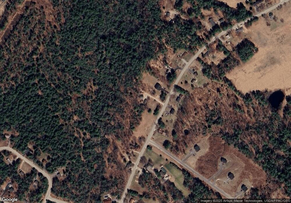
Map
Nearby Homes
- 2 Presumpscot Ridge Dr
- 3 Presumpscot Ridge Dr
- Lot 2 Presumpscot Ridge Dr
- Lot 1 Presumpscot Ridge Dr
- Lot 3 Presumpscot Ridge Dr
- Lot 4 Presumpscot Ridge Dr
- Lot5 Presumpscot Ridge Dr
- 207 N Gorham Rd
- 207 N Gorham Rd
- 220 N Gorham Rd
- lot 2 Presumpscot Ridge
- 204 N Gorham Rd
- 219 N Gorham Rd
- 22 Presumpscot Ridge Dr
- 13 Brookwood Dr
- 224 N Gorham Rd
- 14 Brookwood Dr
- 195 N Gorham Rd
- 198 N Gorham Rd
- 225 N Gorham Rd