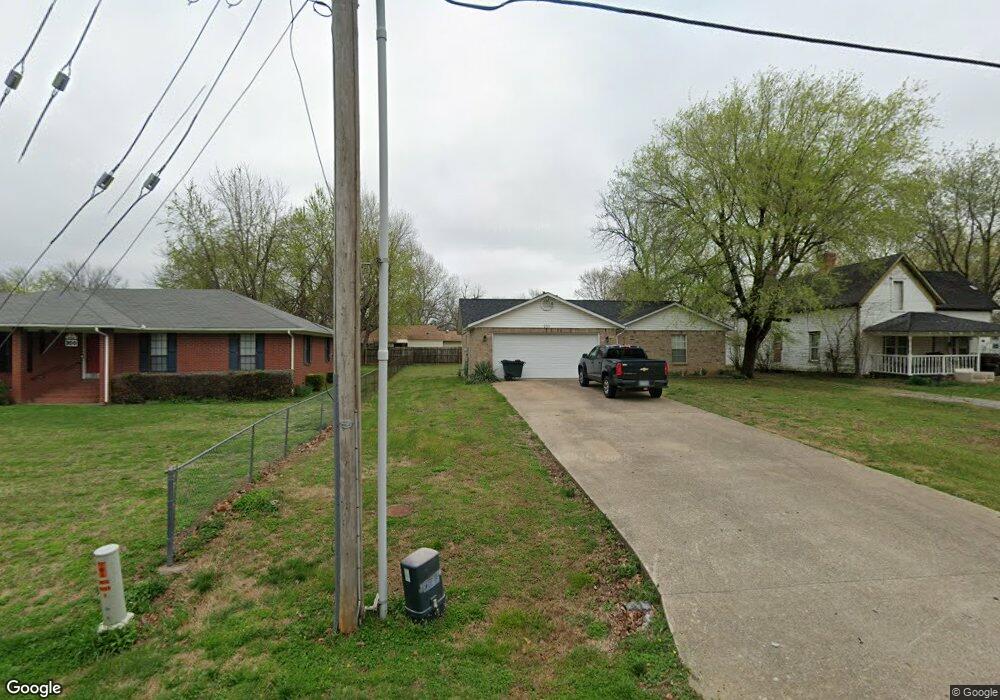
212 N West Ave Lincoln, AR 72744
Estimated Value: $204,402 - $229,000
--
Bed
2
Baths
1,202
Sq Ft
$177/Sq Ft
Est. Value
About This Home
This home is located at 212 N West Ave, Lincoln, AR 72744 and is currently estimated at $212,851, approximately $177 per square foot. 212 N West Ave is a home located in Washington County with nearby schools including Lincoln Elementary School and Lincoln High School.
Ownership History
Date
Name
Owned For
Owner Type
Purchase Details
Closed on
May 21, 2004
Sold by
Propps Lovena
Bought by
Sorrell Robbie L and Sorrell Iva F
Current Estimated Value
Home Financials for this Owner
Home Financials are based on the most recent Mortgage that was taken out on this home.
Original Mortgage
$82,500
Outstanding Balance
$39,229
Interest Rate
5.81%
Mortgage Type
Purchase Money Mortgage
Estimated Equity
$173,622
Purchase Details
Closed on
Apr 10, 1995
Bought by
Helm Delbert Neil and Doris Jean
Purchase Details
Closed on
Jan 1, 1985
Bought by
Davis Paul L
Create a Home Valuation Report for This Property
The Home Valuation Report is an in-depth analysis detailing your home's value as well as a comparison with similar homes in the area
Home Values in the Area
Average Home Value in this Area
Purchase History
| Date | Buyer | Sale Price | Title Company |
|---|---|---|---|
| Sorrell Robbie L | $83,000 | Landtrust Title & Closing In | |
| Helm Delbert Neil | $53,000 | -- | |
| Davis Paul L | -- | -- |
Source: Public Records
Mortgage History
| Date | Status | Borrower | Loan Amount |
|---|---|---|---|
| Open | Sorrell Robbie L | $82,500 |
Source: Public Records
Tax History Compared to Growth
Tax History
| Year | Tax Paid | Tax Assessment Tax Assessment Total Assessment is a certain percentage of the fair market value that is determined by local assessors to be the total taxable value of land and additions on the property. | Land | Improvement |
|---|---|---|---|---|
| 2025 | $642 | $31,150 | $6,000 | $25,150 |
| 2024 | $688 | $31,150 | $6,000 | $25,150 |
| 2023 | $726 | $31,150 | $6,000 | $25,150 |
| 2022 | $721 | $20,630 | $2,520 | $18,110 |
| 2021 | $673 | $20,630 | $2,520 | $18,110 |
| 2020 | $625 | $20,630 | $2,520 | $18,110 |
| 2019 | $578 | $17,580 | $2,400 | $15,180 |
| 2018 | $603 | $17,580 | $2,400 | $15,180 |
| 2017 | $594 | $17,580 | $2,400 | $15,180 |
| 2016 | $594 | $17,580 | $2,400 | $15,180 |
| 2015 | $594 | $17,580 | $2,400 | $15,180 |
| 2014 | $578 | $17,290 | $2,630 | $14,660 |
Source: Public Records
Map
Nearby Homes
- 204 N Starr Ave
- 116 N West Ave
- 210 N Main Ave
- 0 Shady St
- 711 Applegate Ln
- 511 W North St
- 108 Short Ave
- 301 W Bean St
- 108 N Main Ave
- 724 Applegate Ln
- 733 Applegate Ln
- 523 & 525 W North St
- 0 W Bean St
- 304 Shady St
- 313 E North St
- 394 E North St
- 17948 W Highway 62
- 310 E Bean St
- 312 E Bean St
- 603 Sugar Hill Rd
- 208 N West Ave
- 300 N West Ave
- 205 N Starr Ave
- 201 N Starr Ave
- 207 N West Ave
- 205 S West Ave
- 205 N West Ave
- 305 N West Ave
- 308 N West Ave
- 0 Tbd Starr (1 15 Ac) Ave Unit 1142490
- 201 N West Ave
- 201 S West Ave
- 0 N A N Starr Ave Unit 1224569
- 207 Starr Ave
- TBD Starr Ave
- 207 N Starr Dr
- TBD (.82 ac) Starr Ave
- 312 West Ave
- 311 N West Ave
- 309 N West Ave