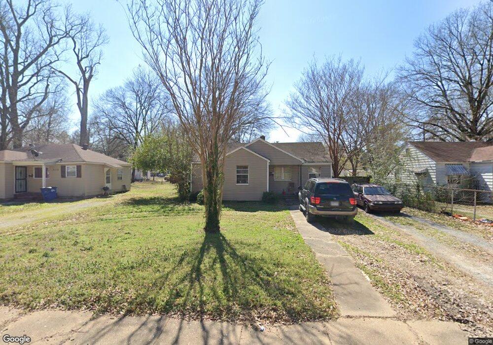
212 N Worthington Dr West Memphis, AR 72301
Estimated Value: $81,262 - $113,000
3
Beds
1
Bath
912
Sq Ft
$108/Sq Ft
Est. Value
About This Home
This home is located at 212 N Worthington Dr, West Memphis, AR 72301 and is currently estimated at $98,816, approximately $108 per square foot. 212 N Worthington Dr is a home located in Crittenden County with nearby schools including Bragg Elementary School, West Junior High School, and The Academies of West Memphis Charter School.
Ownership History
Date
Name
Owned For
Owner Type
Purchase Details
Closed on
Mar 30, 2015
Sold by
Williams Shea O and Williams Jennifer
Bought by
Jones Dorsey E
Current Estimated Value
Purchase Details
Closed on
Nov 17, 2006
Sold by
Not Provided
Bought by
Williams Shea O and Williams Jennifer
Purchase Details
Closed on
Nov 16, 2006
Sold by
Walker Edna Skelton
Bought by
Williams Shea O
Purchase Details
Closed on
Aug 31, 2006
Sold by
Walker Edna S
Bought by
Walker Edna Mae Skelton
Create a Home Valuation Report for This Property
The Home Valuation Report is an in-depth analysis detailing your home's value as well as a comparison with similar homes in the area
Home Values in the Area
Average Home Value in this Area
Purchase History
| Date | Buyer | Sale Price | Title Company |
|---|---|---|---|
| Jones Dorsey E | $59,900 | -- | |
| Williams Shea O | $47,000 | -- | |
| Williams Shea O | -- | -- | |
| Walker Edna Mac Skelton | -- | -- | |
| Walker Edna Mae Skelton | -- | -- |
Source: Public Records
Mortgage History
| Date | Status | Borrower | Loan Amount |
|---|---|---|---|
| Closed | Jones Dorsey E | $0 |
Source: Public Records
Tax History Compared to Growth
Tax History
| Year | Tax Paid | Tax Assessment Tax Assessment Total Assessment is a certain percentage of the fair market value that is determined by local assessors to be the total taxable value of land and additions on the property. | Land | Improvement |
|---|---|---|---|---|
| 2024 | $33 | $10,490 | $2,500 | $7,990 |
| 2023 | $83 | $10,490 | $2,500 | $7,990 |
| 2022 | $133 | $10,490 | $2,500 | $7,990 |
| 2021 | $133 | $10,490 | $2,500 | $7,990 |
| 2020 | $475 | $10,490 | $2,500 | $7,990 |
| 2019 | $387 | $10,230 | $2,700 | $7,530 |
| 2018 | $69 | $10,230 | $2,700 | $7,530 |
| 2017 | $69 | $10,230 | $2,700 | $7,530 |
| 2016 | $391 | $10,230 | $2,700 | $7,530 |
| 2015 | $73 | $10,230 | $2,700 | $7,530 |
| 2014 | $423 | $10,230 | $2,700 | $7,530 |
Source: Public Records
Map
Nearby Homes
- 1397 N Missouri St
- 1399 N Missouri St
- Lot 1-A N Missouri St
- 703-707 N Missouri St
- 321 S Worthington Dr
- 1404 Chester Ln
- 112 Ross Ave
- 104 Ross Ave
- 221 W Barton Ave
- 235 W Barton Ave
- 506 Dover Rd
- 508 Arlington Dr
- 500 Balfour Rd
- 216 Roosevelt Ave
- 413 Gibson Ave
- 519 S Roselawn Dr
- 511 Balfour Rd
- 210 W Cooper Ave
- 307 W Cooper Ave
- 603 Highland Dr
- 214 N Worthington Dr
- 210 N Worthington Dr
- 216 N Worthington Dr
- 213 N Center Dr
- 206 N Worthington Dr
- 215 N Center Dr
- 207 N Worthington Dr
- 209 N Center Dr
- 217 N Center Dr
- 218 N Worthington Dr
- 205 N Worthington Dr
- 202 N Worthington Dr
- 207 N Center Dr
- 219 N Center Dr
- 1102 N Redding St
- 203 N Worthington Dr
- 205 N Center Dr
- 1110 N Redding St
- 212 N Center Dr
- 300 N Worthington Dr