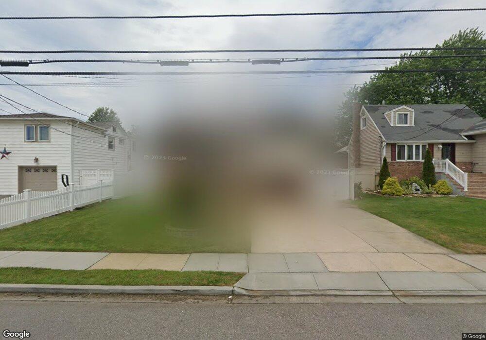
212 Nassau Ave Freeport, NY 11520
Estimated Value: $581,000 - $695,000
3
Beds
1
Bath
1,008
Sq Ft
$628/Sq Ft
Est. Value
About This Home
This home is located at 212 Nassau Ave, Freeport, NY 11520 and is currently estimated at $633,257, approximately $628 per square foot. 212 Nassau Ave is a home located in Nassau County with nearby schools including Columbus Avenue School, Caroline G. Atkinson Intermediate School, and John W Dodd Middle School.
Ownership History
Date
Name
Owned For
Owner Type
Purchase Details
Closed on
Sep 17, 2021
Sold by
Smalls Cynthia and Smalls Daryl
Bought by
Skillern Lori M
Current Estimated Value
Home Financials for this Owner
Home Financials are based on the most recent Mortgage that was taken out on this home.
Original Mortgage
$380,000
Outstanding Balance
$342,743
Interest Rate
2.8%
Mortgage Type
New Conventional
Estimated Equity
$290,514
Purchase Details
Closed on
Apr 2, 1997
Sold by
Estate Aji Frank
Bought by
Smalls Cynthia and Smalls Daryl
Create a Home Valuation Report for This Property
The Home Valuation Report is an in-depth analysis detailing your home's value as well as a comparison with similar homes in the area
Home Values in the Area
Average Home Value in this Area
Purchase History
| Date | Buyer | Sale Price | Title Company |
|---|---|---|---|
| Skillern Lori M | $500,000 | Titlevest | |
| Smalls Cynthia | $135,000 | -- |
Source: Public Records
Mortgage History
| Date | Status | Borrower | Loan Amount |
|---|---|---|---|
| Open | Skillern Lori M | $380,000 |
Source: Public Records
Tax History
| Year | Tax Paid | Tax Assessment Tax Assessment Total Assessment is a certain percentage of the fair market value that is determined by local assessors to be the total taxable value of land and additions on the property. | Land | Improvement |
|---|---|---|---|---|
| 2025 | $8,043 | $373 | $150 | $223 |
| 2024 | $819 | $373 | $150 | $223 |
| 2023 | $7,861 | $373 | $150 | $223 |
| 2022 | $7,861 | $373 | $150 | $223 |
| 2021 | $9,415 | $358 | $144 | $214 |
| 2020 | $5,740 | $481 | $441 | $40 |
| 2019 | $798 | $481 | $342 | $139 |
| 2018 | $4,118 | $620 | $0 | $0 |
| 2017 | $6,218 | $633 | $441 | $192 |
| 2016 | $7,168 | $609 | $441 | $168 |
| 2015 | $880 | $609 | $441 | $168 |
| 2014 | $880 | $609 | $441 | $168 |
| 2013 | $707 | $518 | $375 | $143 |
Source: Public Records
Map
Nearby Homes
- 322 Miller Ave
- 310 Miller Ave
- 494 S Ocean Ave Unit 1M
- 494 S Ocean Ave Unit 1H
- 494 S Ocean Ave Unit 3A
- 267 Roosevelt Ave
- 265 Roosevelt Ave
- 470 Miller Ave
- 226 Westside Ave Unit B
- 173 Cedar St
- 119 S Bay Ave
- 208 Sportsmans Ave
- 160 Saint Marks Ave
- 16 Layton St
- 335 Arthur St
- 22 Wilshire Ct
- 177 Sportsmans Ave
- 292 Westside Ave
- 39 Layton St
- 587 S Bayview Ave
- 220 Nassau Ave
- 220 Nassau Ave
- 208 Nassau Ave
- 561 S Long Beach Ave
- 202 Nassau Ave
- 555 S Long Beach Ave
- 567 S Long Beach Ave
- 219 Nassau Ave
- 549 S Long Beach Ave
- 186 Nassau Ave
- 573 S Long Beach Ave
- 225 Nassau Ave
- 228 Nassau Ave
- 201 Nassau Ave
- 543 S Long Beach Ave
- 579 S Long Beach Ave
- 233 Nassau Ave
- 184 Nassau Ave
- 380 Miller Ave
- 384 Miller Ave
Your Personal Tour Guide
Ask me questions while you tour the home.