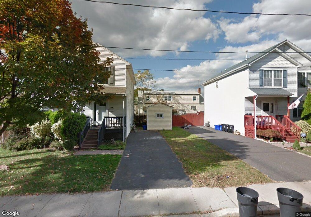
212 North St Manville, NJ 08835
Estimated Value: $561,274
--
Bed
--
Bath
1,694
Sq Ft
$331/Sq Ft
Est. Value
About This Home
This home is located at 212 North St, Manville, NJ 08835 and is currently estimated at $561,274, approximately $331 per square foot. 212 North St is a home located in Somerset County with nearby schools including Weston Elementary School, Roosevelt School, and Alexander Batcho Intermediate School (ABIS).
Ownership History
Date
Name
Owned For
Owner Type
Purchase Details
Closed on
Aug 28, 2015
Sold by
Lipari Joseph and Lipari Barbara
Bought by
The State Of New Jersey and Department Of Environmental Protection
Current Estimated Value
Purchase Details
Closed on
Jun 25, 1996
Sold by
Guastella John
Bought by
Lipari Joe and Lipari Barbara
Home Financials for this Owner
Home Financials are based on the most recent Mortgage that was taken out on this home.
Original Mortgage
$130,000
Interest Rate
8.05%
Create a Home Valuation Report for This Property
The Home Valuation Report is an in-depth analysis detailing your home's value as well as a comparison with similar homes in the area
Home Values in the Area
Average Home Value in this Area
Purchase History
| Date | Buyer | Sale Price | Title Company |
|---|---|---|---|
| The State Of New Jersey | $254,429 | Attorney | |
| Lipari Joe | $135,000 | -- |
Source: Public Records
Mortgage History
| Date | Status | Borrower | Loan Amount |
|---|---|---|---|
| Previous Owner | Lipari Joe | $130,000 |
Source: Public Records
Tax History Compared to Growth
Tax History
| Year | Tax Paid | Tax Assessment Tax Assessment Total Assessment is a certain percentage of the fair market value that is determined by local assessors to be the total taxable value of land and additions on the property. | Land | Improvement |
|---|---|---|---|---|
| 2025 | -- | $273,100 | $60,800 | $212,300 |
| 2024 | -- | $272,300 | $60,800 | $211,500 |
| 2023 | -- | $273,400 | $60,800 | $212,600 |
| 2022 | -- | $264,100 | $60,800 | $203,300 |
| 2021 | $7,120 | $245,100 | $60,800 | $184,300 |
| 2020 | $0 | $239,200 | $60,800 | $178,400 |
| 2019 | $7,120 | $226,700 | $60,800 | $165,900 |
| 2018 | $0 | $229,000 | $60,800 | $168,200 |
| 2017 | $0 | $233,600 | $60,800 | $172,800 |
| 2016 | $7,819 | $233,600 | $60,800 | $172,800 |
| 2015 | $7,819 | $323,500 | $145,400 | $178,100 |
| 2014 | $7,664 | $323,500 | $145,400 | $178,100 |
Source: Public Records
Map
Nearby Homes
- 218 North St
- 206 North St
- 223 Wyoming Place
- 8 N 3rd Ave
- 202 North St
- 207 Wyoming Place
- 57 N 3rd Ave
- 9 N 3rd Ave
- 217 Wyoming Place
- 221 Brooks Blvd
- 215 Brooks Blvd
- 23 N 3rd Ave
- 44 South St
- 229 Brooks Blvd
- 207 Brooks Blvd
- 12 N 4th Ave
- 314 North St
- 314 North St Unit 314
- 314 North St Unit B
- 40 South St Unit 5