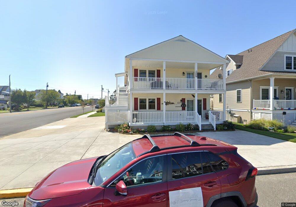
212 North St Unit 14 Ocean City, NJ 08226
Estimated Value: $1,020,000 - $1,720,000
--
Bed
--
Bath
2,322
Sq Ft
$572/Sq Ft
Est. Value
About This Home
This home is located at 212 North St Unit 14, Ocean City, NJ 08226 and is currently estimated at $1,329,037, approximately $572 per square foot. 212 North St Unit 14 is a home located in Cape May County with nearby schools including Ocean City Primary School, Ocean City Intermediate School, and Ocean City High School.
Ownership History
Date
Name
Owned For
Owner Type
Purchase Details
Closed on
Jan 4, 2018
Sold by
Robert T&M E Prescott Ret and Prescott Tr Robert T
Bought by
Scanzaroli Donna P and Worrell Deborah-I
Current Estimated Value
Purchase Details
Closed on
Jul 24, 2009
Sold by
Prescott Robert T and Prescott Lorraine E
Bought by
Prescott Robert T and Prescott Lorraine E
Purchase Details
Closed on
Jun 30, 2005
Sold by
Prescott Robert T and Prescott Lorraine E
Bought by
Prescott Robert T and Prescott Lorraine E
Purchase Details
Closed on
Oct 28, 1996
Sold by
Laudermilk William A
Bought by
Prescott Robert T and Prescott Lorraine E
Home Financials for this Owner
Home Financials are based on the most recent Mortgage that was taken out on this home.
Original Mortgage
$89,000
Interest Rate
8.07%
Create a Home Valuation Report for This Property
The Home Valuation Report is an in-depth analysis detailing your home's value as well as a comparison with similar homes in the area
Home Values in the Area
Average Home Value in this Area
Purchase History
| Date | Buyer | Sale Price | Title Company |
|---|---|---|---|
| Scanzaroli Donna P | -- | -- | |
| Prescott Robert T | -- | None Available | |
| Prescott Robert T | -- | -- | |
| Prescott Robert T | $165,000 | -- |
Source: Public Records
Mortgage History
| Date | Status | Borrower | Loan Amount |
|---|---|---|---|
| Previous Owner | Prescott Robert T | $89,000 |
Source: Public Records
Tax History Compared to Growth
Tax History
| Year | Tax Paid | Tax Assessment Tax Assessment Total Assessment is a certain percentage of the fair market value that is determined by local assessors to be the total taxable value of land and additions on the property. | Land | Improvement |
|---|---|---|---|---|
| 2025 | $5,499 | $490,100 | $237,500 | $252,600 |
| 2024 | $5,499 | $490,100 | $237,500 | $252,600 |
| 2023 | $5,249 | $490,100 | $237,500 | $252,600 |
| 2022 | $5,043 | $490,100 | $237,500 | $252,600 |
| 2021 | $3,656 | $490,100 | $237,500 | $252,600 |
| 2020 | $4,793 | $490,100 | $237,500 | $252,600 |
| 2019 | $4,739 | $490,100 | $237,500 | $252,600 |
| 2018 | $4,695 | $490,100 | $237,500 | $252,600 |
| 2017 | $4,622 | $490,100 | $237,500 | $252,600 |
| 2016 | $4,445 | $490,100 | $237,500 | $252,600 |
| 2015 | $4,386 | $490,100 | $237,500 | $252,600 |
| 2014 | $4,033 | $410,100 | $300,200 | $109,900 |
Source: Public Records
Map
Nearby Homes
- 24 Haven Ave
- 3408 Haven Ave Unit 301
- 3408 Haven Ave Unit 223
- 57 Central Ave
- 51 Simpson Rd Unit 2
- 50 Wesley Rd
- 137 Central #2 Ave Unit 2
- 129 Simpson Ave Unit 1
- 312 W Surf Rd
- 336 W Surf Rd
- 201 West Ave Unit B
- 201 West Ave Unit C
- 112 W Atlantic Blvd
- 132 Simpson Ave
- 116 Ocean Ave Unit 2
- 140 Simpson Ave
- 703 North St Unit 5
- 70 Bay Rd
- 226 Asbury Ave
- 210 Simpson Ave Unit 2nd Floor