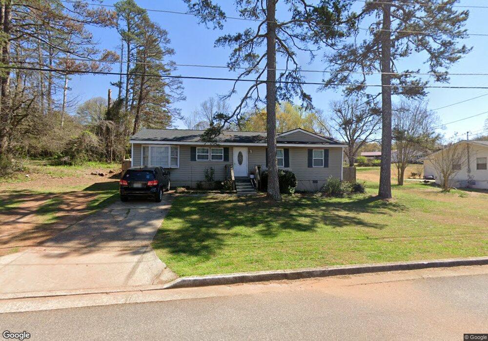
212 Nunn St Commerce, GA 30529
Commerce Township Downtown NeighborhoodEstimated Value: $199,000 - $258,000
4
Beds
2
Baths
1,200
Sq Ft
$188/Sq Ft
Est. Value
About This Home
This home is located at 212 Nunn St, Commerce, GA 30529 and is currently estimated at $225,046, approximately $187 per square foot. 212 Nunn St is a home located in Jackson County with nearby schools including Commerce Primary School, Commerce Elementary School, and Commerce Middle School.
Ownership History
Date
Name
Owned For
Owner Type
Purchase Details
Closed on
May 4, 2022
Sold by
Commerce Slp Llc
Bought by
Brown James
Current Estimated Value
Purchase Details
Closed on
Jan 28, 2014
Sold by
Ds Johnson Properties Llc
Bought by
Commerce Slp Llc
Purchase Details
Closed on
Nov 18, 2013
Sold by
Miller Patricia H
Bought by
Ds Johnson Properties Llc
Purchase Details
Closed on
Jul 21, 2001
Sold by
Woodall Terry C
Bought by
Miller Patricia
Create a Home Valuation Report for This Property
The Home Valuation Report is an in-depth analysis detailing your home's value as well as a comparison with similar homes in the area
Home Values in the Area
Average Home Value in this Area
Purchase History
| Date | Buyer | Sale Price | Title Company |
|---|---|---|---|
| Brown James | $185,000 | -- | |
| Commerce Slp Llc | -- | -- | |
| Ds Johnson Properties Llc | $25,800 | -- | |
| Miller Patricia | -- | -- |
Source: Public Records
Tax History Compared to Growth
Tax History
| Year | Tax Paid | Tax Assessment Tax Assessment Total Assessment is a certain percentage of the fair market value that is determined by local assessors to be the total taxable value of land and additions on the property. | Land | Improvement |
|---|---|---|---|---|
| 2024 | $1,537 | $49,560 | $12,000 | $37,560 |
| 2023 | $1,368 | $45,000 | $12,000 | $33,000 |
| 2022 | $1,097 | $33,840 | $8,000 | $25,840 |
| 2021 | $1,095 | $33,840 | $8,000 | $25,840 |
| 2020 | $1,042 | $28,760 | $8,000 | $20,760 |
| 2019 | $1,057 | $28,760 | $8,000 | $20,760 |
| 2018 | $1,010 | $27,720 | $8,000 | $19,720 |
| 2017 | $906 | $24,421 | $8,000 | $16,421 |
| 2016 | $851 | $22,821 | $6,400 | $16,421 |
| 2015 | $870 | $22,821 | $6,400 | $16,421 |
| 2014 | $397 | $19,114 | $6,400 | $12,714 |
| 2013 | -- | $24,668 | $6,400 | $18,268 |
Source: Public Records
Map
Nearby Homes
- 119 Beth Ann Ln
- 268 Barber St
- 91 Neal St
- 184 Ashford Ln
- 92 Belmont Park Dr
- 102 Barber St
- 495 Shankle Heights
- 554 Spring St
- 0 Harmony Gates Dr Unit Tract 24 CM1025291
- 0 Harmony Gates Dr Unit 7506513
- 0 Harmony Gates Dr Unit TRACT 24 10193711
- 270 Victoria St
- 1029 S Elm St
- 45 Williford St
- 581 Ila Rd
- 526 Madison St
- 548 Madison St Unit 100
- 548 Madison St Unit 110
- 562 Madison St Unit 110
- 562 Madison St Unit 100
- 192 Nunn St
- 234 Nunn St
- 48 Hillcrest St
- 76 Hillcrest St
- 406 Shankle Rd
- 392 Shankle Rd
- 484 Shankle Rd
- 0 Hillcrest St Unit 8815735
- 0 Hillcrest St Unit 8782680
- 0 Hillcrest St
- 94 Hillcrest St
- 778 Shankle Rd
- 726 Shankle Rd Unit 6
- 730 Shankle Rd Unit 5
- 774 Shankle Rd Unit 4
- 778 Shankle Rd Unit 3
- 778 Shankle Rd Unit 4
- 00 Shankle Rd
- 264 Nunn St
- 449 Shankle Rd